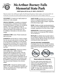
McArthur-Burney Falls Memorial State Park...
Map of park with detail of trails and recreation zones
585 miles away
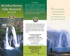
McArthur-Burney Falls Memorial State Park Map
Map of park with detail of trails and recreation zones
585 miles away
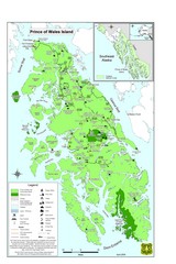
Prince of Wales Island Map
Overview map of Prince of Wales Island, Alaska. Shows wilderness areas.
585 miles away
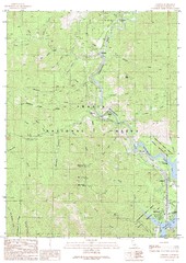
Lamoine Quad - Shasta Lake Map
Topographic map, Lamoine Quadrangle, California 1990. Area of map includes a portion of Shasta Lake...
588 miles away

Pacific Crest Trail Map
Shows entire route of 2,650 mile Pacific Crest Trail from Mexico to Canada.
590 miles away
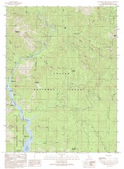
Bollibokka Mountain Quad - Shasta Lake Map
Topographic map, Bollibokka Mountain Quadrangle, California 1990. Area of map includes a portion of...
590 miles away
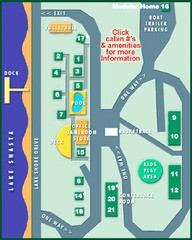
Tsasdi Resort - Shasta Lake Map
Map of the grounds of Tsasdi Resort, lakehead, CA.
591 miles away
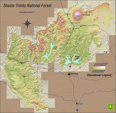
Shasta Trinity National Forest Elevation Map
Shaded relief map of Shasta-Trinity National Forest in northern California
593 miles away
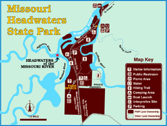
Missouri Headwaters State Park Map
This park encompasses the confluence of the Jefferson, Madison and Gallatin Rivers. The Lewis and...
595 miles away
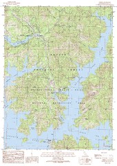
O'Brien Quad - Shasta Lake Map
Topographic map, O'Brien Quadrangle, California 1990. Area of map includes a portion of Shasta...
596 miles away
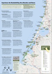
Humboldt Bay Area Beaches and Dunes Map
Humboldt Bay Beaches & Dunes Map & Guide
596 miles away
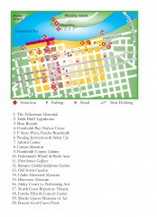
Old Town, Eureka, California Map
Tourist map of the Old Town area of Eureka, California. Shows various attractions including murals...
596 miles away
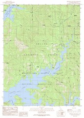
Minnesota Mountain Quad - Shasta Lake Map
Topographic map, Minnesota Mountain Quadrangle, California 1990. Area of map includes a portion of...
597 miles away
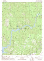
Devils Rock Quad - Shasta Lake Map
Topographic map, Devils Rock Quadrangle, California 1990. Area of map includes a portion of Shasta...
597 miles away
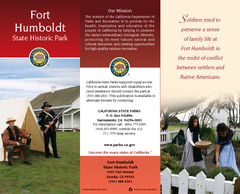
Fort Humboldt State Historic Park Map
Map of park with detail of trails and recreation zones
598 miles away
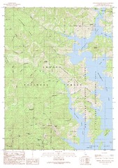
Bohemotash Mountain Quad - Shasta Lake Map
Topographic map, Bohemotash Mountain Quadrangle, California 1990. Area of map includes a portion of...
599 miles away
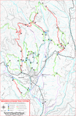
Weaverville Basin Trail System Map
Guide to trails near Weaverville, CA
599 miles away
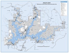
Shasta Unit - Whiskeytown-Shasta-Trinity National...
Map of Shasta Lake, California, showing roads, campgrounds, marinas and resorts, hiking and biking...
599 miles away

Weaverville Joss House State Historic Park Map
Map of park with detail of trails and recreation zones
599 miles away
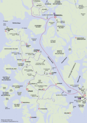
Prince of Wales Island Map
Shows area around Prince of Wales Island, Alaska, from Ketchikan to Wrangell.
601 miles away
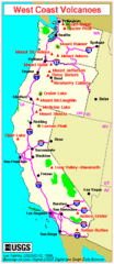
Major West Coast Volcanoes (Washington, Oregon...
601 miles away
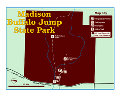
Madison Buffalo Jump State Park Map
You’ll find this day-use-only park seven graveled miles off Interstate 90 at the Logan exit...
601 miles away
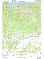
Bella Vista Quad - Shasta Lake Map
Topographic map, Bella Vista Quadrangle, California 1976. Area of map includes a portion of Shasta...
601 miles away
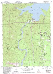
Shasta Dam Quad - Shasta Lake Map
Topographic map, Shasta Dam Quadrangle, California 1969. Area of map includes a portion of Shasta...
601 miles away
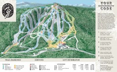
Showdown Ski Trail Map
Official ski trail map of Showdown ski area
603 miles away
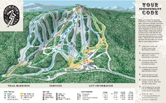
Showdown Ski Area Ski Trail Map
Trail map from Showdown Ski Area.
603 miles away
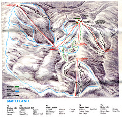
Iron Mountain Trail Map
Iron Mountain ski area
604 miles away
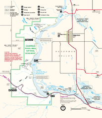
Hagerman Fossil Beds National Monument Map
Official map of Hagerman Fossil Beds National Monument in Hagerman, Idaho
605 miles away
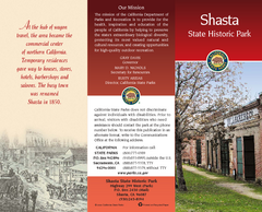
Shasta State Historic Park Map
Map of park with detail of trails and recreation zones
609 miles away
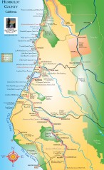
Humboldt County, California Map
Tourist map of Humboldt County, California. Shows parks, wildlife refuges, visitor centers, and...
610 miles away
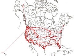
North America Layout Map
Countries, states and provinces in North America
611 miles away
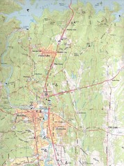
Redding, California City Map
612 miles away
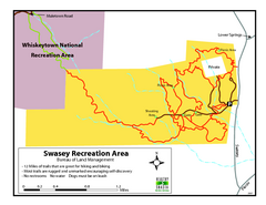
Swasey Recreation Area Map
12 Miles of trails that are great for hiking and biking. Most trails are rugged and unmarked...
612 miles away
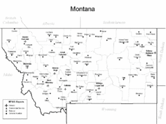
Montana Airports Map
617 miles away
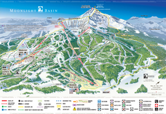
Moonlight Basin Ski Trail Map
Trail map from Moonlight Basin, which provides terrain park skiing. It has 8 lifts servicing 92...
619 miles away
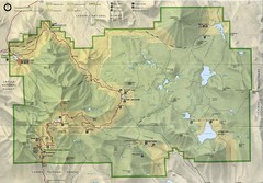
Lassen Volcanic National Park Map
620 miles away
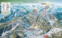
Big Sky Ski Resort Trail Map (Eastern exposure...
Big Sky ski resort trail map (Eastern exposure) for the 2006-2007 season
620 miles away

Big Sky Ski Resort Trail Map (Southern exposure...
Big Sky ski resort trail map (Southern exposure) for the 2006-2007 season. Also check out the...
621 miles away

Big Sky Resort Lone Peak Detail Ski Trail Map
Trail map from Big Sky Resort, which provides terrain park skiing. It has 21 lifts servicing 150...
621 miles away
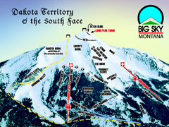
Big Sky Resort Dakota Territory Detail Ski Trail...
Trail map from Big Sky Resort, which provides terrain park skiing. It has 21 lifts servicing 150...
621 miles away

