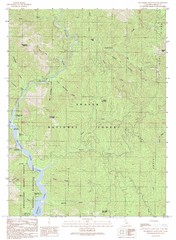
Bollibokka Mountain Quad - Shasta Lake Map
Topographic map, Bollibokka Mountain Quadrangle, California 1990. Area of map includes a portion of...
675 miles away
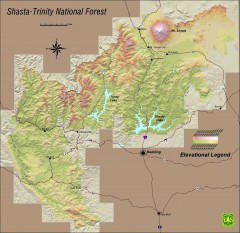
Shasta Trinity National Forest Elevation Map
Shaded relief map of Shasta-Trinity National Forest in northern California
676 miles away
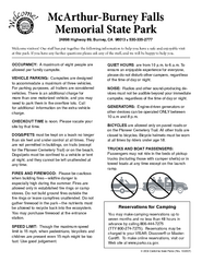
McArthur-Burney Falls Memorial State Park...
Map of park with detail of trails and recreation zones
676 miles away
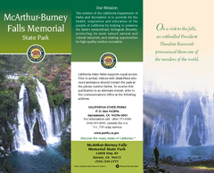
McArthur-Burney Falls Memorial State Park Map
Map of park with detail of trails and recreation zones
676 miles away
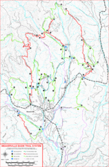
Weaverville Basin Trail System Map
Guide to trails near Weaverville, CA
676 miles away
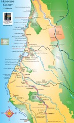
Humboldt County, California Map
Tourist map of Humboldt County, California. Shows parks, wildlife refuges, visitor centers, and...
676 miles away

Weaverville Joss House State Historic Park Map
Map of park with detail of trails and recreation zones
677 miles away
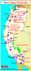
Major West Coast Volcanoes (Washington, Oregon...
678 miles away
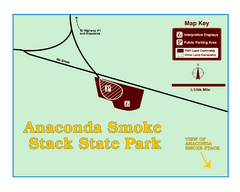
Anaconda Smoke Stack State Park Map
Simple map of State Park.
679 miles away
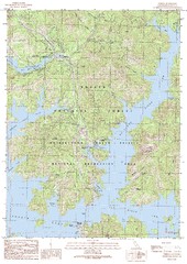
O'Brien Quad - Shasta Lake Map
Topographic map, O'Brien Quadrangle, California 1990. Area of map includes a portion of Shasta...
679 miles away
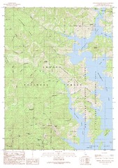
Bohemotash Mountain Quad - Shasta Lake Map
Topographic map, Bohemotash Mountain Quadrangle, California 1990. Area of map includes a portion of...
682 miles away
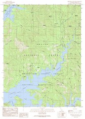
Minnesota Mountain Quad - Shasta Lake Map
Topographic map, Minnesota Mountain Quadrangle, California 1990. Area of map includes a portion of...
682 miles away
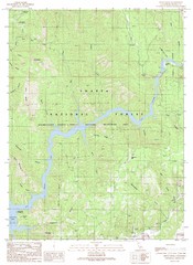
Devils Rock Quad - Shasta Lake Map
Topographic map, Devils Rock Quadrangle, California 1990. Area of map includes a portion of Shasta...
683 miles away
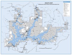
Shasta Unit - Whiskeytown-Shasta-Trinity National...
Map of Shasta Lake, California, showing roads, campgrounds, marinas and resorts, hiking and biking...
683 miles away
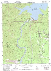
Shasta Dam Quad - Shasta Lake Map
Topographic map, Shasta Dam Quadrangle, California 1969. Area of map includes a portion of Shasta...
684 miles away
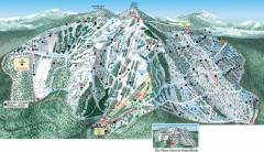
Great Divide Ski Trail Map
Official ski trail map of Great Divide ski area from the 2007-2008 season.
685 miles away
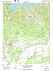
Bella Vista Quad - Shasta Lake Map
Topographic map, Bella Vista Quadrangle, California 1976. Area of map includes a portion of Shasta...
685 miles away
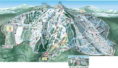
Great Divide Ski Area Ski Trail Map
Trail map from Great Divide Ski Area.
686 miles away
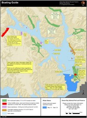
Boating on Glacier Bay National Park Guide Map
686 miles away
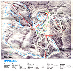
Iron Mountain Trail Map
Iron Mountain ski area
686 miles away
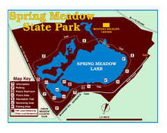
Spring Meadow Lake State Park Map
This urban, day-use-only park minutes from Helena fed by natural springs, is a popular spot for...
690 miles away
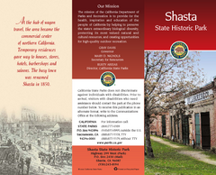
Shasta State Historic Park Map
Map of park with detail of trails and recreation zones
691 miles away
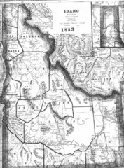
Idaho 1883 Map
691 miles away
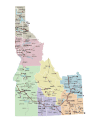
Idaho Road Map
691 miles away
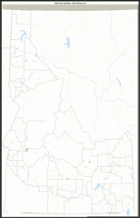
Idaho Zip Code Map
Check out this Zip code map and every other state and county zip code map zipcodeguy.com.
691 miles away
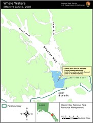
Glacier Bay National Park Whale Waters Map
Map of lower Glacier Bay whale waters include the waters extending from the mouth of Glacier Bay to...
692 miles away
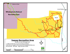
Swasey Recreation Area Map
12 Miles of trails that are great for hiking and biking. Most trails are rugged and unmarked...
694 miles away
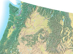
Northwest USA topo Map
694 miles away
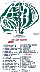
Maverick Mountain Ski Area Ski Trail Map
Trail map from Maverick Mountain Ski Area.
694 miles away
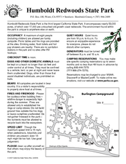
Humboldt Redwoods State Park Campground Map
Map of campground region park with detail of trails and recreation zones
694 miles away
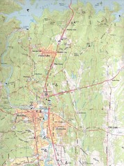
Redding, California City Map
694 miles away
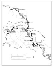
Humboldt Redwoods State Park Map
Park map of Humboldt Redwoods State Park, California. Shows Avenue of the Giants, trailheads and...
696 miles away

Pacific Crest Trail Map
Shows entire route of 2,650 mile Pacific Crest Trail from Mexico to Canada.
697 miles away
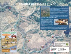
South Fork Boise River Map
Map of the South Fork of the Boise River from Anderson Ranch Dam to Neal Bridge. Premier wild...
697 miles away
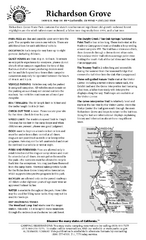
Richardson Grove State Park Campground Map
Map of campground region of park with detail of trails and recreation zones
699 miles away
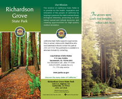
Richardson Grove State Park Map
Map of park with detail of trails and recreation zones
699 miles away

Hamlet of Fort Liard Area Map
Fort Liard Visitor Information Map including location of most buildings, businesses, streets, and...
702 miles away

Helena, Montana City Map
703 miles away
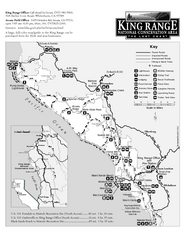
King Range National Conservation Area Trail Map
Trail map of the King Range National Conservation Area, home of the Lost Coast, California. Shows...
703 miles away
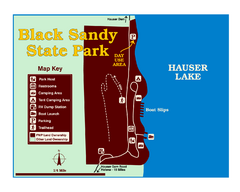
Black Sandy State Park Map
Simple but clear map of State Park.
704 miles away

