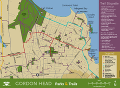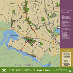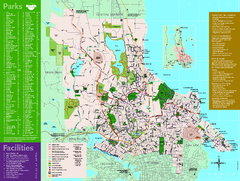
Full Map of Saanich Parks & Trails 2012
Full Map of Saanich Parks & Trails 2012
418 miles away
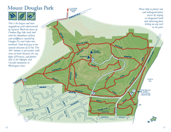
Mount Douglas Park Map
418 miles away
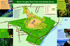
Mount Douglas Park Trails and Habitat Zones Map
419 miles away
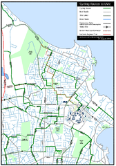
Cycling routes to UVic Map
Bike Route Map of Local Area around UVic © 2007, University of Victoria Updated 17 April...
420 miles away
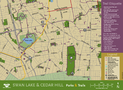
Swan Lake & Cedar Hill Area Map
Swan Lake & Cedar Hill Parks & Trails
421 miles away

Skagit County Washington, 1909 Map
421 miles away
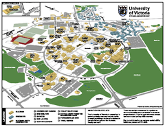
University of Victoria - Cycling Amenities Map
Showing the various cycling related amenities ie. Covered Bicycle Parking, bicycle lockers...
421 miles away
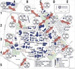
UVic Bicycle Access Patterns 2010 Map
Showing bicycle usage statistics
421 miles away
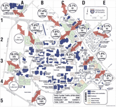
UVic Bicycle Access Patterns 2008 Map
Showing bicycle usage statistics
421 miles away
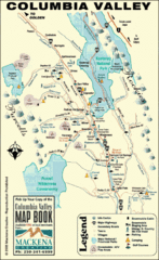
Columbia Valley Map
Easy to follow map and legend of this wilderness area.
421 miles away
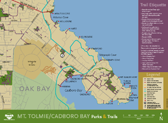
Mt. Tolmie & Cadboro Bay Map
Section of larger map, showing Seaside Touring Route and other regional and local cycling routes...
421 miles away
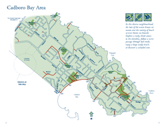
Cadboro Bay Area Map
421 miles away

Mount Tolmie Park Map
421 miles away
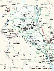
North Cascades National Park map
Official NPS map of North Cascades National Park, Washington. Shows the entire park and...
421 miles away

Welcome to Esquimalt Parks and Recreation...
423 miles away
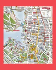
Victoria City Tourist Map
Tourist map of Victoria City on Vancouver Island, BC
423 miles away
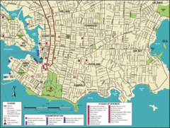
Victoria, British Columbia Tourist Map
423 miles away
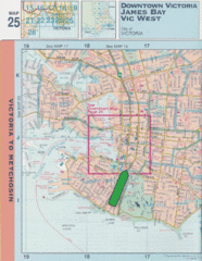
Downtown Victoria, British Columbia Tourist Map
423 miles away
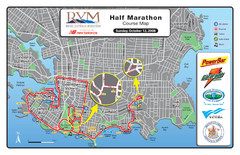
2008 Royal Victoria Half Marathon Map
Course Map for the Royal Victoria Half Marathon. Held Sunday, October 12, 2008
423 miles away

Shuttle to Town Map
423 miles away
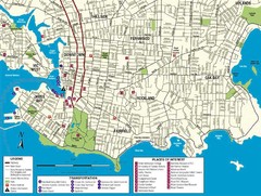
Downtown Victoria Map
424 miles away
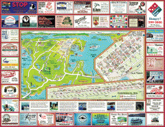
Anacortes tourist map
Tourist map of Anacortes, Washington. Shows recreation and points of interest.
424 miles away
BEACON HILL PARK MAP
424 miles away
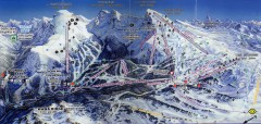
Sunshine Village Ski Trail Map
Official ski trail map of Sunshine Village ski area.
425 miles away
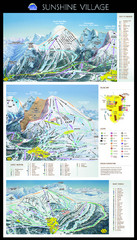
Sunshine Trail Map
Trail map of Sunshine Village
425 miles away
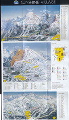
Banff’s Sunshine Village Ski Trail Map
Trail map from Banff’s Sunshine Village.
425 miles away
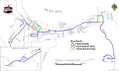
Neah Bay Bus Route Map
426 miles away
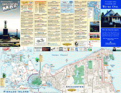
Fidalgo Island tourist map
Tourist map of Fidalgo Island in Anacortes, Washington. Shows recreation and points of interest.
426 miles away
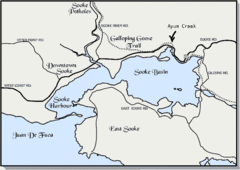
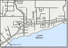
Community of Sooke, British Columbia Map
http://www.sooke.org/maps/map2.htm © Pax Media Inc.
426 miles away
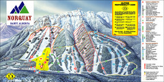
Banff Mount Norquay Ski Trail Map
Trail map from Banff Mount Norquay, which provides downhill skiing. This ski area has its own...
426 miles away
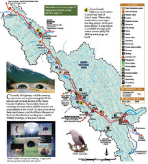
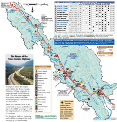
Banff National Park Map
426 miles away
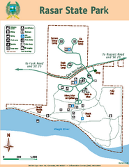
Rasar State Park Map
Map of park with detail of trails and recreation zones
427 miles away
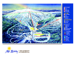
Mt. Baldy Family Ski Area Ski Trail Map
Trail map from Mt. Baldy Family Ski Area.
427 miles away
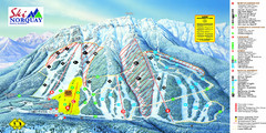
Norquay Map
Ski trail map
428 miles away
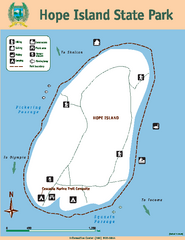
Hope Island State Park Map
Map of park with detail of trails and recreation zones
428 miles away
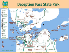
Deception Pass State Park Map
Map of park with detail of trails and recreation zones
428 miles away

