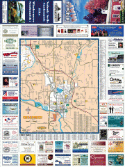
Snohomish tourst map
Tourist map of Snohomish, Washington. Shows all businesses.
466 miles away
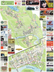
Snohomish tourist map
Snohomish, Washington tourist map. Shows all businesses.
466 miles away
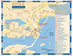
Downtown Sitka Map
Sitka Downtown Walking Tour map.
466 miles away
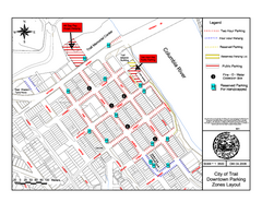
City of Trail Downtown Parking Map
Parking map of downtown Trail, British Columbia
467 miles away

City of Trail BC Map
Map of city of Trail, BC on the Columbia River
467 miles away
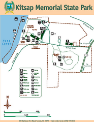
Kitsap Memorial State Park Map
Map of island with detail of trails and recreation zones
468 miles away
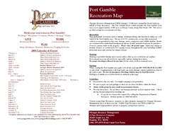
Stottlemeyer trails Map
469 miles away
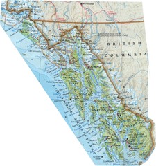
Alaska (South East Map) Panhandle Map
469 miles away
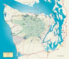
Olympic National Park and Peninsula Map
Guide to the Olympic National Park and surrounding region
470 miles away
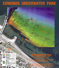
Edmonds Underwater Park Map
Map of underwater park for divers
470 miles away
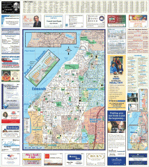
Edmonds tourist map
Tourist map of Edmonds, Washington. Shows all businesses.
471 miles away
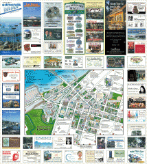
Downtown Edmonds tourist map
Tourist map of Downtown Edmonds, Washington. Shows all businesses.
471 miles away
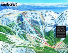
Eaglecrest Ski Trail Map
Official ski trail map of Eaglecrest ski area
471 miles away
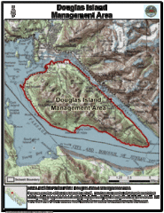
Douglas Island, Alaska Map
471 miles away
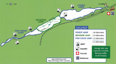
Eaglecrest Ski Area Nordic Ski Trail Map
Trail map from Eaglecrest Ski Area, which provides downhill, night, nordic, and terrain park skiing...
471 miles away
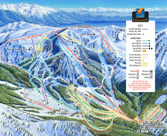
Eaglecrest Ski Area Ski Trail Map
Trail map from Eaglecrest Ski Area, which provides downhill, night, nordic, and terrain park skiing...
471 miles away
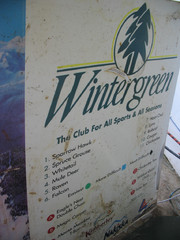
2001 Wintergreen Downhill Map Part 2
Trail map from Wintergreen.
471 miles away
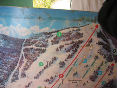
2001 Wintergreen Downhill Map Part 1
Trail map from Wintergreen.
471 miles away
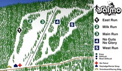
Salmo Ski Area Ski Trail Map
Trail map from Salmo Ski Area, which provides downhill skiing. This ski area has its own website.
472 miles away
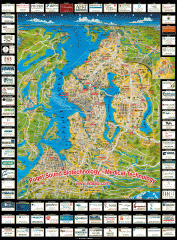
Puget Sound biotech map
Map of Puget Sound area biotechnology companies.
472 miles away
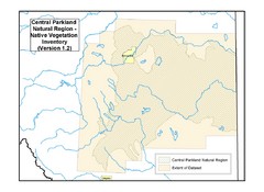
Aspen Parkland Natural Region Map
Map of area defined in the current vegetation / land use database for the Aspen Parkland Natural...
473 miles away
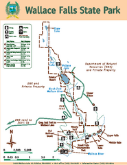
Wallace Falls State Park Map
Map of park with detail of trails and recreation zones
473 miles away
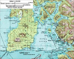
Mount Edgecumbe Topo Map
Topographic map of Mt. Edgecumbe and Sitka, Alaska. Mt. Edgecumbe is a 3000 foot inactive volcano...
474 miles away

Woodinville tourist map
Tourist map of Woodinville, Washington. Shows all businesses.
476 miles away
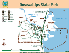
Dosewallips State Park Map
Map of park with detail of trails and recreation zones
476 miles away
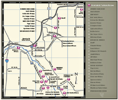
Woodinville Wine Country Map
Map of wineries in the Woodinville, WA area
476 miles away

Downtown Juneau Map
Downtown Juneau Map
476 miles away
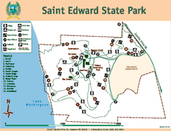
Saint Edward State Park Map
Map of park with detail of trails and recreation zones
477 miles away
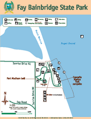
Fay Bainbridge State Park Map
Map of park with detail of trails and recreation zones
477 miles away
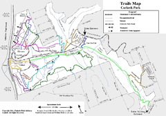
Carkeek Park Trail Map
Trail map of Carkeek Park on the Puget Sound, Seattle, WA. Shows maintained and unmaintained trails.
478 miles away

3-D Panoramic Map of the Puget Sound
A 3D panoramic map of a view from a private residence over Puget Sound toward the Olympic mountains.
478 miles away
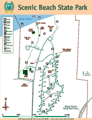
Scenic Beach State Park Map
Map of park with detail of trails and recreation zones
479 miles away
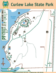
Curlew Lake State Park Map
Map of park with detail of trails and recreation zones
479 miles away
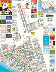
Ballard tourist map
Tourist map of Ballard, Washington. Shows all businesses.
480 miles away
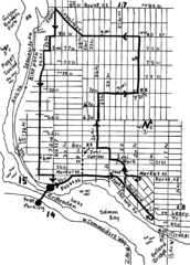
Ballard, Seattle walking map
Start/finish at the Crittendon Locks in Ballard, Seattle. The total map is 6.4 miles, but has...
480 miles away
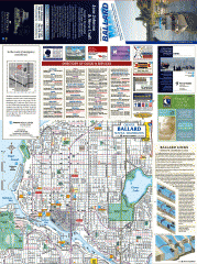
Ballard tourist map
Tourist map of Ballard, Washington and Green Lake Park. Shows all businesses.
480 miles away
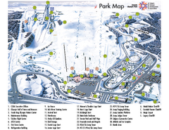
Canada Olympic Park Ski Trail Map
Trail map from Canada Olympic Park, which provides downhill skiing. This ski area has its own...
480 miles away
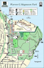
Warren G. Magnuson Park Map
Map of Warren G. Magnuson Park Warren G. Magnuson Park sits on a splendid mile-long stretch of...
481 miles away
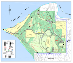
Discovery Park trail map
Trail and facility map of Discovery Park. Discovery Park is a 534 acre natural area park operated...
481 miles away

