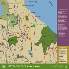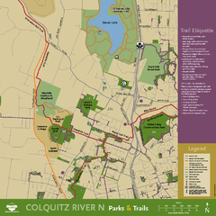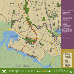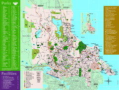
Full Map of Saanich Parks & Trails 2012
Full Map of Saanich Parks & Trails 2012
348 miles away
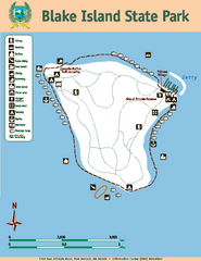
Blake Island State Park Map
Map of park with detail of trails and recreation zones
348 miles away
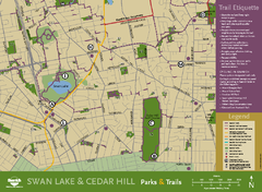
Swan Lake & Cedar Hill Area Map
Swan Lake & Cedar Hill Parks & Trails
349 miles away
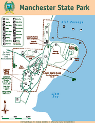
Manchester State Park Map
Map of park with detail of trails and recreation zones
349 miles away
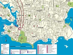
Downtown Victoria Map
349 miles away
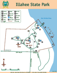
Illahee State Park Map
Map of park with detail of trails and recreation zones
349 miles away
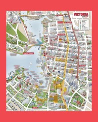
Victoria City Tourist Map
Tourist map of Victoria City on Vancouver Island, BC
350 miles away
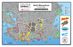
2008 Royal Victoria Half Marathon Map
Course Map for the Royal Victoria Half Marathon. Held Sunday, October 12, 2008
350 miles away
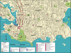
Victoria, British Columbia Tourist Map
350 miles away
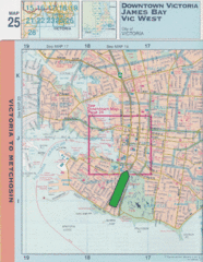
Downtown Victoria, British Columbia Tourist Map
350 miles away
BEACON HILL PARK MAP
350 miles away

Shuttle to Town Map
350 miles away
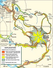
Mount Rainier Potential Lava Flow, Mud Flow and...
Hazard zones for lahars, lava flows, and pyroclastic flows from Mount Rainier. The map shows areas...
350 miles away
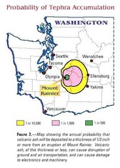
Mount Rainier Probability of Tephra (Ash...
350 miles away

Welcome to Esquimalt Parks and Recreation...
351 miles away
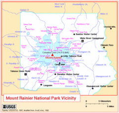
Mount Rainier National Park Vicinity Map
351 miles away
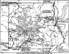
1928 Mount Rainier National Park Map
Guide to Mount Rainier National Park in 1938
352 miles away
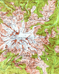
Mount Rainier Topographic Map
Guide to topography and glaciers of Mount Rainier
352 miles away
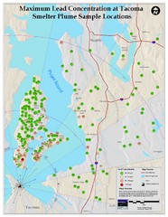
Tacoma Lead Concentration Map
A map of maximum lead concentrations near Tacoma.
352 miles away
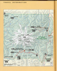
Mount Rainier National Park Map
Guide to the Mount Rainier National Park
353 miles away
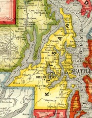
Kitsap County Washington, 1909 Map
353 miles away
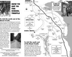
Kinsol Trestle Map
Map of the Kinsol Trestle
353 miles away
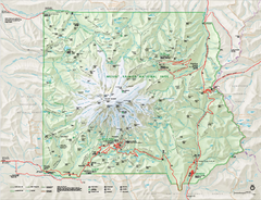
Mount Rainier National Park map
Official NPS map of Mt. Rainier National Park. Shows the entire park and surroundings
353 miles away
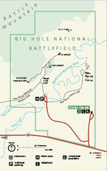
Big Hole National Battlefield Official Map
Official NPS map of Big Hole National Battlefield in Montana. Big Hole National Battlefield is...
353 miles away
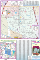
Milton and Edgewood tourist map
Tourist map of Milton and Edgewood, Washington. Shows all businesses.
354 miles away
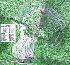
White Pass Ski Area Ski Trail Map
Trail map from White Pass Ski Area, which provides downhill, nordic, and terrain park skiing. It...
354 miles away
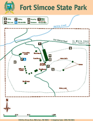
Fort Simcoe State Park Map
Map of park with detail of trails and recreation zones
354 miles away
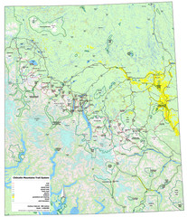
Chilcotin Mountains Trail System Map
Trail system map of the Chilcotin Mountains in BC, Canada "On the trail system map '...
354 miles away
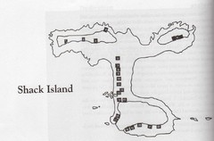
Shack Island Map
Illustration taken from the book "Shack Island" by Ruth English Matson. 2004.
354 miles away

Mt. Rainier 3D Print Map
This is a 3D-printed map of the cone of Mt. Rainier in Washington, USA, including Liberty Cap, many...
355 miles away
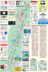
Milton tourist map
Tourist map of Milton, Washington. Shows all businesses.
355 miles away
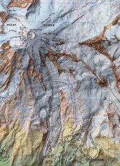
Mt. Rainier Climbing Routes Map
Shows major climbing routes on Mt. Rainier on southwest part of mountain.
355 miles away
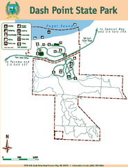
Dash Point State Park Map
Map of park with detail of trails and recreation zones
355 miles away
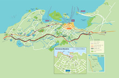
Nanaimo City Map
Map of Nanaimo, BC. Shows trails and parks.
355 miles away
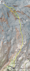
Mount Rainier Climbing Map
Guide to climbing Mount Rainier, Camp Muir Route
355 miles away
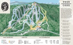
Showdown Ski Trail Map
Official ski trail map of Showdown ski area
356 miles away
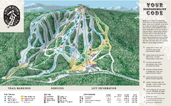
Showdown Ski Area Ski Trail Map
Trail map from Showdown Ski Area.
356 miles away

