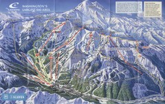
Crystal Mountain Resort Ski Trail Map
Trail map from Crystal Mountain Resort, which provides downhill skiing. It has 10 lifts servicing...
341 miles away
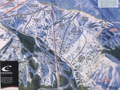
Crystal Mountain Resort Northway Inset Ski Trail...
Trail map from Crystal Mountain Resort, which provides downhill skiing. It has 10 lifts servicing...
341 miles away
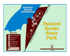
Painted Rocks State Park Map
Located in the scenic Bitterroot Mountains, this 23-acre park offers boating and water sport...
341 miles away
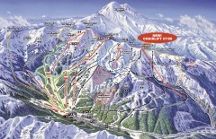
Crystal Mountain Ski Trail Map
Official ski trail map of Crystal Mountain ski area from the 2007-2008 season. 2600 acres of...
342 miles away
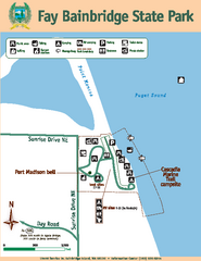
Fay Bainbridge State Park Map
Map of park with detail of trails and recreation zones
342 miles away
Stottlemeyer trails Map
342 miles away
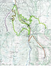
White River 50 Course Map
White River 50 Mile Trail Run
342 miles away
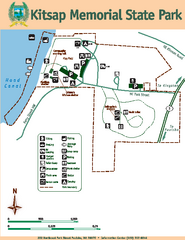
Kitsap Memorial State Park Map
Map of island with detail of trails and recreation zones
343 miles away
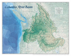
Columbia River Basin Map
343 miles away
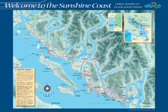
Sunshine Coast Recreation Map
Recreation map of the Sunshine Coast in BC. Shows trails for hiking (in yellow) and mountain...
343 miles away
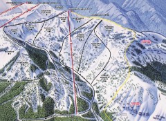
Crystal Mountain Ski Trail Map - Northway Area
Official ski trail map of the Northway area of Crystal Mountain ski area from the 2007-2008 season...
343 miles away

3-D Panoramic Map of the Puget Sound
A 3D panoramic map of a view from a private residence over Puget Sound toward the Olympic mountains.
344 miles away
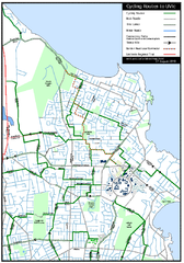
Cycling routes to UVic Map
Bike Route Map of Local Area around UVic © 2007, University of Victoria Updated 17 April...
344 miles away

The Town of Sidney - Parks Map
345 miles away
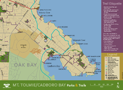
Mt. Tolmie & Cadboro Bay Map
Section of larger map, showing Seaside Touring Route and other regional and local cycling routes...
345 miles away
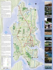
Bainbridge Island Hiking and Biking Map
Shows trails and bike routes on Bainbridge Island, Washington in the Puget Sound. Also shows...
345 miles away
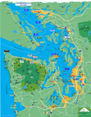
Seattle Ferry Guide Map
Map of ferries around Seattle, Puget Sound and Olympic Peninsula
345 miles away
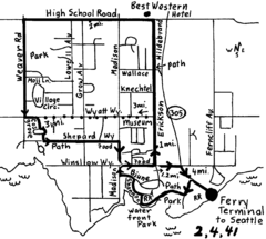
Bainbridge Walking Map
From Seattle Ferry Terminal, take the Bainbridge Ferry to Winslow. The walk is 4 miles with...
345 miles away
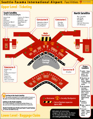
SeaTac Airport Map
345 miles away
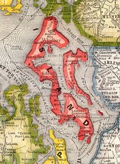
Island County Washington, 1909 Map
345 miles away
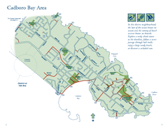
Cadboro Bay Area Map
346 miles away
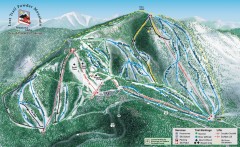
Lost Trail Powder Mountain Ski Trail Map
Official ski trail map of Lost Trail Powder Mountain ski area
346 miles away
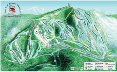
Lost Powder Mountain Ski Trail Map
Trail map from Lost Trail Powder Mountain.
346 miles away
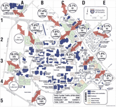
UVic Bicycle Access Patterns 2008 Map
Showing bicycle usage statistics
346 miles away
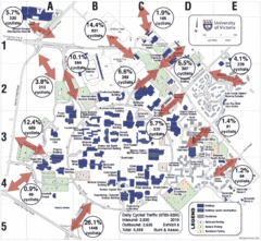
UVic Bicycle Access Patterns 2010 Map
Showing bicycle usage statistics
346 miles away
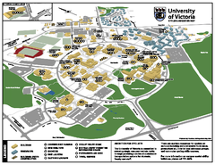
University of Victoria - Cycling Amenities Map
Showing the various cycling related amenities ie. Covered Bicycle Parking, bicycle lockers...
346 miles away
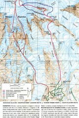
Mount Rainier Topo Map
Map of Mount Rainier Ascent. We ascended the "Muir Snowfield" and then went up the "...
347 miles away
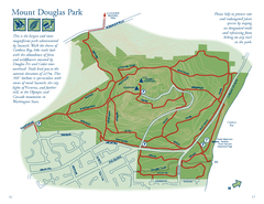
Mount Douglas Park Map
347 miles away
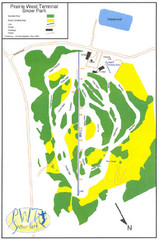
Prairie West Terminal Snow Park (Twin Towers) Ski...
Trail map from Prairie West Terminal Snow Park (Twin Towers), which provides downhill skiing. This...
347 miles away
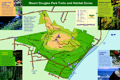
Mount Douglas Park Trails and Habitat Zones Map
347 miles away
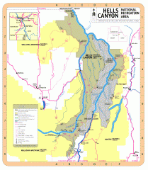
Hells Canyon National Recreation Area Map
Official Forest Service map of the Hells Canyon National Recreation Area. Shows roads, trails...
347 miles away

rthsaanich.ca District Map
347 miles away
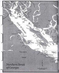
Northern Strait of Georgia Map
347 miles away

Mount Tolmie Park Map
347 miles away
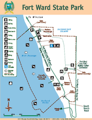
Fort Ward State Park Map
Map of park with detail of trails and recreation zones
347 miles away

Tourist map of Downtown Des Moines, Washington
Tourist map of Downtown Des Moines, Washington. Shows all businesses.
347 miles away

Des Moines Washington tourist map
Tourist map of Des Moines, Washington, including Kent and SeaTac airport.
347 miles away

Galloping Goose and Lochside Regional Trails Map
348 miles away
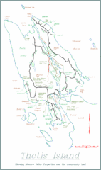
Thetis Island Map
Thetis Island map showing roads, properties, and the community trail.
348 miles away

