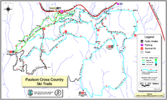
Paulson X-C (Castlegar Nordic) Ski Trail Map
Trail map from Paulson X-C (Castlegar Nordic), which provides nordic skiing. This ski area has its...
315 miles away
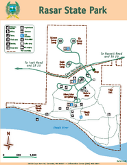
Rasar State Park Map
Map of park with detail of trails and recreation zones
315 miles away
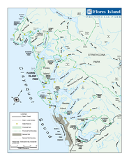
Flores Island Provincial Park Area Map
Park map of area around Flores Island Provincial Park, BC in the Clayoquot Sound. Flores Island is...
316 miles away

rthsaanich.ca District Map
316 miles away
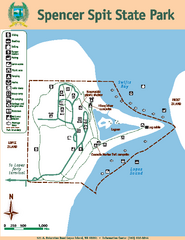
Spencer Spit State Park Map
Map of park with detail of trails and recreation zones
316 miles away
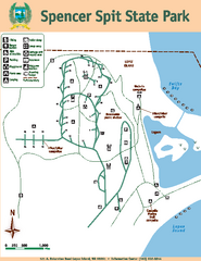
Spencer Spit State Park Map
Map of park with detail of trails and recreation zones
316 miles away
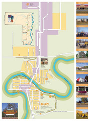
Manning Town Map
317 miles away
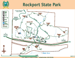
Rockport State Park Map
Map of park with detail of trails and recreation zones
317 miles away
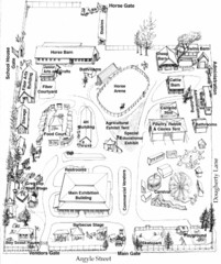
San Juan County Fair Map 2008
Fairgrounds map for the San Juan County Fair, Friday Harbor, Washington
318 miles away

San Juan Island tourist map
San Juan Island and Friday Harbor tourist map. Shows all businesses.
318 miles away
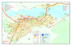
Nelson BC Town Map
319 miles away
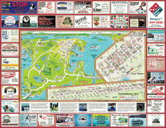
Anacortes tourist map
Tourist map of Anacortes, Washington. Shows recreation and points of interest.
319 miles away
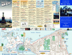
Fidalgo Island tourist map
Tourist map of Fidalgo Island in Anacortes, Washington. Shows recreation and points of interest.
321 miles away

Galloping Goose and Lochside Regional Trails Map
321 miles away
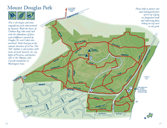
Mount Douglas Park Map
322 miles away
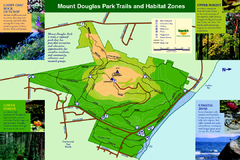
Mount Douglas Park Trails and Habitat Zones Map
322 miles away
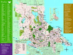
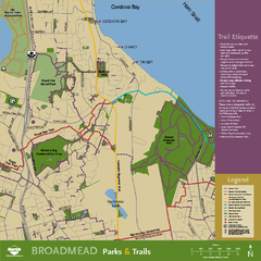
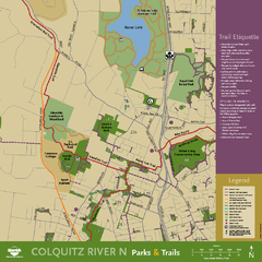
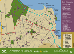
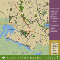
Full Map of Saanich Parks & Trails 2012
Full Map of Saanich Parks & Trails 2012
322 miles away
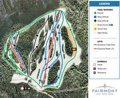
Fairmont Hot Springs Resort Ski Trail Map
Trail map from Fairmont Hot Springs Resort.
323 miles away
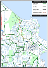
Cycling routes to UVic Map
Bike Route Map of Local Area around UVic © 2007, University of Victoria Updated 17 April...
323 miles away
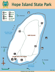
Hope Island State Park Map
Map of park with detail of trails and recreation zones
323 miles away
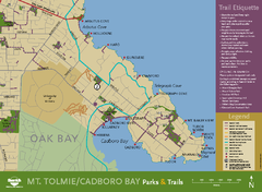
Mt. Tolmie & Cadboro Bay Map
Section of larger map, showing Seaside Touring Route and other regional and local cycling routes...
324 miles away
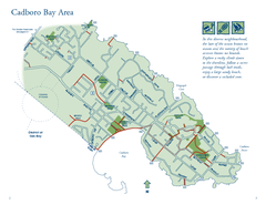
Cadboro Bay Area Map
324 miles away
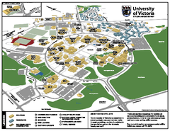
University of Victoria - Cycling Amenities Map
Showing the various cycling related amenities ie. Covered Bicycle Parking, bicycle lockers...
324 miles away
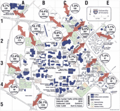
UVic Bicycle Access Patterns 2010 Map
Showing bicycle usage statistics
324 miles away
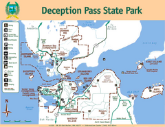
Deception Pass State Park Map
Map of park with detail of trails and recreation zones
324 miles away
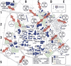
UVic Bicycle Access Patterns 2008 Map
Showing bicycle usage statistics
324 miles away
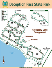
Deception Pass State Park Map
Map of park with detail of trails and recreation zones
324 miles away
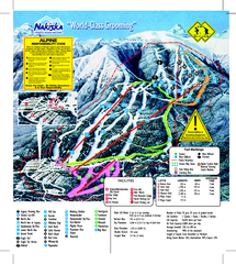
Nakiska Ski Resort Ski Trail Map
Trail map from Nakiska Ski Resort, which provides downhill skiing. This ski area has its own...
324 miles away
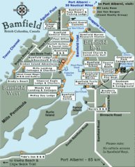
Bamfield Tourist Map
324 miles away

Mount Tolmie Park Map
325 miles away
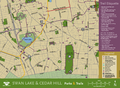
Swan Lake & Cedar Hill Area Map
Swan Lake & Cedar Hill Parks & Trails
325 miles away
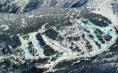
Whitewater Ski Resort Silver King Ski Trail Map
Trail map from Whitewater Ski Resort.
325 miles away
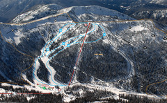
Whitewater Ski Resort Summit Ski Trail Map
Trail map from Whitewater Ski Resort.
325 miles away
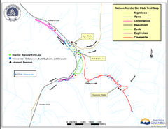
Nelson Nordic Ski Trail Map
Trail map from Nelson Nordic, which provides night and nordic skiing. This ski area has its own...
326 miles away
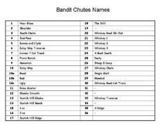
Fortress Bandit Chutes Run Names List Map
Trail map from Fortress, which provides downhill skiing.
326 miles away
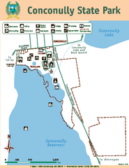
Conconully State Park Map
Map of park with detail of trails and recreation zones
326 miles away

