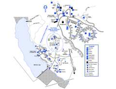
Little Ocmulgee State Park Map
Map of park with detail of trails and recreation zones
0 miles away
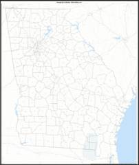
Georgia Zip Code Map
Check out this Zip code map and every other state and county zip code map zipcodeguy.com.
4 miles away
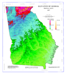
Map of Georgia Elevations
Digital elevation map of Georgia, U.S.
4 miles away
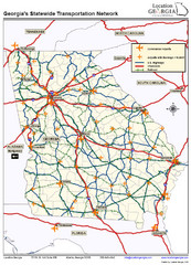
Georgia Transportation Map
4 miles away
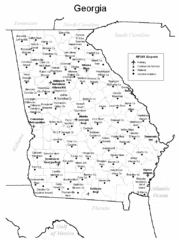
Georgia Tourist Map
4 miles away
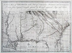
Georgia Map
Map of Georgia circa 1748. Includes Georgia and parts of the Carolinas, Florida and Louisiana.
4 miles away
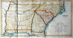
Southern Parts of the US Map
"This map was initially published in Morse's American Gazetteer in 1797 with Georgia...
15 miles away
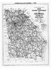
Georgia 1939 Road Map
State Road Map of Georgia in 1939
27 miles away
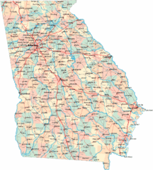
Georgia Road Map
Detailed, colorful road map of the state of Georgia.
38 miles away
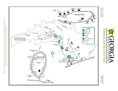
General Coffee State Park Map
Map of park with detail of trails and recreation zones
40 miles away
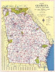
Georgia Road Map
Road map of state of Georgia, 1952
44 miles away
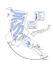
Gordonia-Alatamaha State Park Map
Map of park with detail of trails and recreation zones
45 miles away
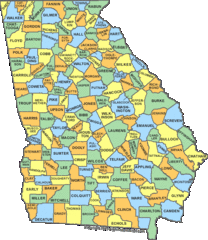
Georgia Counties Map
49 miles away
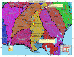
Drainage Basins of the Southeast United States Map
Lakes, rivers and dams in the Apalachicola, Chattahoochee and Flint River System.
52 miles away
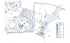
George L. Smith State Park Map
Map of park with detail of trails and recreation zones
56 miles away

Abraham Balwin Agricultral College Campus Map
56 miles away
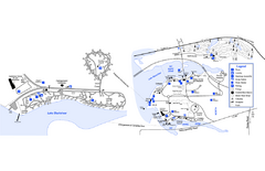
Georgia Veterans State Park Map
Map of park with detail of trails and recreation zones
60 miles away
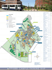
Georgia Southern University Map
Campus Map
69 miles away
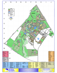
Georgia Southern University Map
Georgia Southern University Campus Map. All buildings shown.
69 miles away
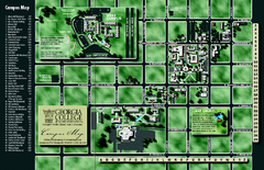
Georgia College Campus Map
Georgia College Campus Map. Shows all areas.
72 miles away
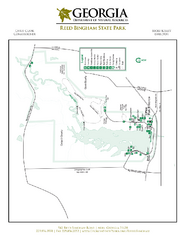
Reed Bingham State Park Map
Map of park with detail of trails and recreation zones
74 miles away
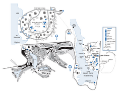
Laura S. Walker State Park Map
Map of park with detail of trails and recreation zones
77 miles away
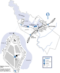
Hamburg State Park Map
Map of park with detail of trails and recreation zones
77 miles away
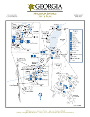
Magnolia Springs State Park Map
Map of park with detail of trails and recreation zones
77 miles away
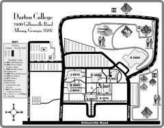
Darton College Campus Map
85 miles away

Lake Oconee Map
97 miles away
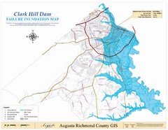
Richmond County Failure Inundation Map
Map of the flood water failure inundation of Augusta Richmond county, Georgia. Includes detailed...
99 miles away
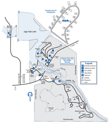
High Falls State Park Map
Map of park with detail of trails and recreation zones
99 miles away
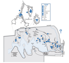
Indian Springs State Park Map
Map of park with detail of trails and recreation zones
100 miles away

Fort McAllister Historic Park Map
Map of park with detail of trails and recreation zones
101 miles away
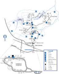
A. H. Stephens Historic Park Map
Map of park with detail of trails and recreation zones
102 miles away
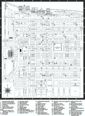
Savannah Historic District map
Map of Savannah, Georgia's historic district. Shows popular places
106 miles away
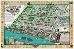
Savannah Historic District Illustrated Map
This Americana-style illustrated map depicts the Savannah Historic District from a birds-eye-view...
106 miles away
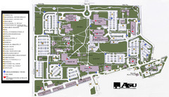
Augusta State University Map
Campus map
108 miles away
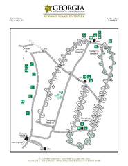
Skidaway Island State Park Map
Map of park with detail of trails and recreation zones
108 miles away
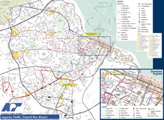
Augusta Public Transit Routes Map
Transit Route Map of the town of Augusta. Includes all streets, some important buildings, and a...
109 miles away

MCG Health System--Medical College of Georgia...
Color-coded map of all buildings on the Medical College of Georgia associated with the MCG Health...
109 miles away
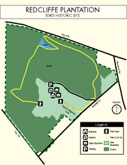
Redcliffe Plantation State Park Map
Clear map of this wonderful state park with a beautiful natural setting.
109 miles away
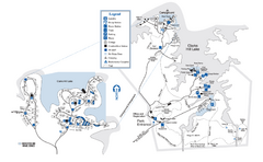
Mistletoe State Park Map
Map of park with detail of trails and recreation zones
112 miles away
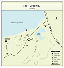
Lake Warren State Park Map
Clearly marked state park map.
113 miles away

