
Lake Ming Area Map
Lake Ming is located 10 miles northeast of Bakersfield, off of Hwy. 178 along Alfred Harrell Hwy...
238 miles away

Lower Kern River Map
This portion of the Kern River extends from the Lower Richbar picnic area to Hart Park. Although...
238 miles away
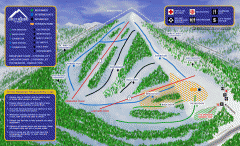
Alta Sierra at Shirley Meadows Ski Trail Map
Official ski trail map of Alta Sierra at Shirley Meadows ski area
240 miles away

Upper Kern River Area Map
This beautiful 35 mile stretch of the Upper Kern River from Lake Isabella to Quaking Aspen offers a...
240 miles away
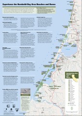
Humboldt Bay Area Beaches and Dunes Map
Humboldt Bay Beaches & Dunes Map & Guide
242 miles away
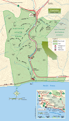
Gaviota State Park Zoom Map
Zoom map of park with detail of trails and recreation zones
243 miles away
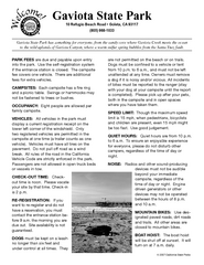
Gaviota State Park Campground Map
Map of campground region of park with detail of trails and recreation zones
243 miles away
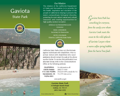
Gaviota State Park Map
Map of park with detail of trails and recreation zones
243 miles away
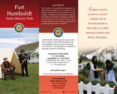
Fort Humboldt State Historic Park Map
Map of park with detail of trails and recreation zones
243 miles away
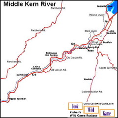
Middle Kern River Area Map
This majestic, rugged, canyon portion of the Kern River extends from Lake Isabella to the Upper...
243 miles away
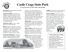
Castle Crags State Park Map
Map of park with detail of trails and recreation zones
244 miles away
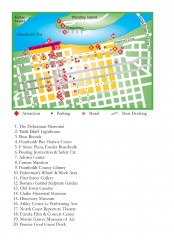
Old Town, Eureka, California Map
Tourist map of the Old Town area of Eureka, California. Shows various attractions including murals...
244 miles away

Lake Isabella Map and Statistics
248 miles away

Lake Isabella Camping and Fishing Map
248 miles away

Sequoia (South) National Forest Visitor Map: Lake...
248 miles away

Kern River Valley Area Map
248 miles away

Upper Kern River Area Recreation Opportunities Map
248 miles away
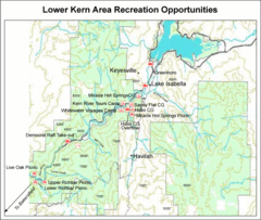
Lower Kern River (Kern Canyon) Area Recreation...
248 miles away

Lake Isabella Area Recreation Opportunities Map
248 miles away
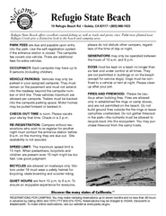
Refugio State Beach Campground Map
Map of campground region of beach with detail of trails and recreation zones
249 miles away
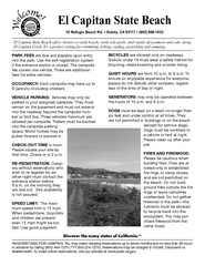
El Capitan State Beach Campground Map
Map of campground region park with detail of trails and recreation zones
250 miles away
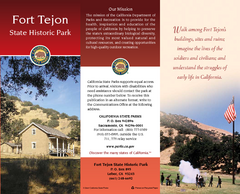
Fort Tejon State Historic Park Map
Map of park with detail of trails and recreation zones
251 miles away
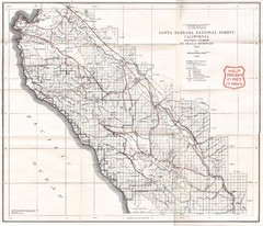
Santa Barbara National Forest 1924 Map
Los Padres National Forest Map. Prior to 1936 it was known as the Santa Barbara National Forest.
253 miles away
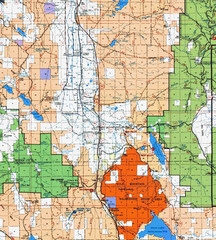
Modoc National Park Map
Visitor Map of Modoc National Park, eastern part. Includes all roads, lakes, camping and boating...
253 miles away
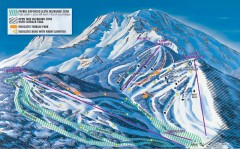
Mt. Shasta Ski Park Ski Trail Map
Official ski trail map of Mount Shasta Ski Park ski area
255 miles away
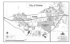
Goleta City Map
Street map of Goleta, California
257 miles away
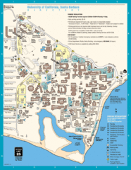
UC Santa Barbara Map
Campus map
257 miles away
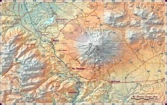
Mt. Shasta Scenic Area map
Great map of the Mt. Shasta region. Shows roads (including 4WD), mountains, lakes, and hiking...
260 miles away

Santa Barbara, California City Map
261 miles away
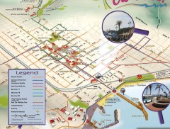
Santa Barbara Car Free Map
Shows bicycle and public transportation routes in downtown Santa Barbara, CA. Shows points of...
261 miles away
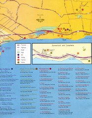
Santa Barbara Map
261 miles away

El Presidio de Santa Barbara State Park Map
261 miles away

Santa Barbara Area Map
261 miles away
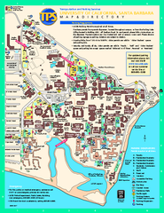
University of California at Santa Barbara Map
University of California at Santa Barbara Campus Map. All buildings shown.
262 miles away

Redwood National Park Map
264 miles away
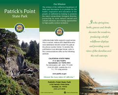
Patrick's Point State Park Map
Map of park with detail of trails and recreation zones
265 miles away

Burning Map 2005 Map
Artistic representation of Burning Man's Black Rock City.
268 miles away
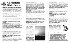
Carpinteria State Beach Campground Map
Map of park with detail of trails and recreation zones
269 miles away
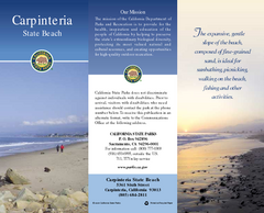
Carpinteria State Beach Map
Map of beach with detail of trails and recreation zones
269 miles away
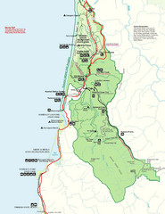
Prairie Crek State Park Map
270 miles away

