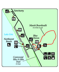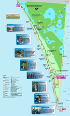
Point Pelee National Park Map
Large and clear national park map
27 miles away
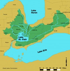
Lake St. Clair/St. Clair River watershed Map
Shows the Lake St. Clair/St. Clair River watershed.
29 miles away
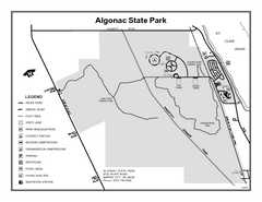
Algonac State Park, Michigan Site Map
33 miles away
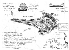
Peche Island Map
Hand-drawn map of Peche Island, Michigan
39 miles away
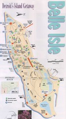
Belle Isle Tourist Map
Tourist map of Belle Isle, Detroit's island get-away
41 miles away

Belle Isle Park Map
Map of Belle Isle Park
42 miles away
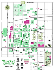
Wayne State University Map
Wayne State University Campus Map. All buildings shown.
44 miles away

Detroit Belle Isle Grand Prix Map
44 miles away
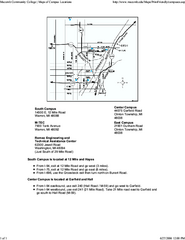
Macomb Community College Campus Map
Macomb Community College Campus Map. All buildings shown.
45 miles away

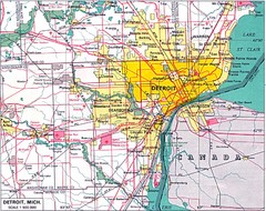
Detroit, Michigan City Map
45 miles away
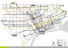
DDOT 2006 System Map
Detroit Department of Transportation Transit System.
45 miles away
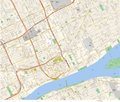
Detroit, MI Tourist Map
45 miles away
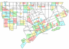
Detroit Neighborhoods Map
45 miles away
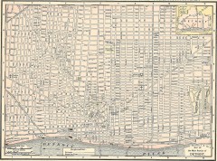
Map of the Main Portion of Detroit - 1895
Map of downtown Detroit, 1895. From Rand McNally's Atlas of the World, 1901, page 42
45 miles away

Wayne State University Map
46 miles away

University of Michigan Map
54 miles away
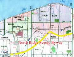
North Ridge Byway Map
The North Ridge Scenic Byway runs along Ohio State Route 254 in Lorain County, Ohio. Variously know...
55 miles away
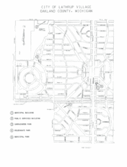
Lathrup Village Street Map
56 miles away
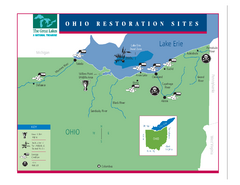
Lake Erie Restoration Sites Map
Shows restoration sites for Lake Erie in Ohio
57 miles away
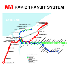
Cleveland Rapid Transit Map
57 miles away
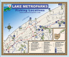
Lake Metroparks Fishing Map
57 miles away
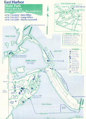
East Harbor State Park Map
58 miles away
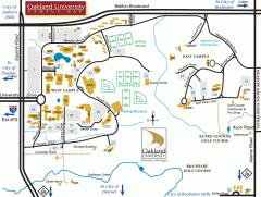
Oakland University Map
Oakland University Campus Map. All buildings shown.
58 miles away

Cedar Point Amusement park Map
58 miles away
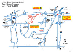
NASA Glenn Research Center Location Map
59 miles away
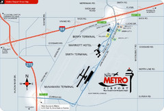
Detroit Metro Airport Area Map
60 miles away
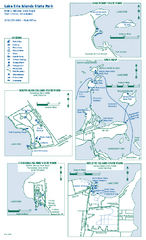
Lake Erie Islands State Park map
Detailed recreation map for the Lake Erie Islands State Parks in Ohio
60 miles away
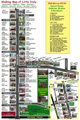
Little Italy Map
Walking tour map with labeled sites.
61 miles away

Birdseye Map of Sandusky, Ohio (1898)
Alvord-Peters birdseye map of Sandusky in 1898.
61 miles away
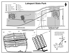
Lakeport State Park, Michigan Site Map
63 miles away
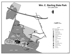
Sterling State Park, Michigan Site Map
63 miles away
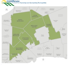
Middlesex County Map
Guide to Middlesex County and surrounds
65 miles away

London Ski Club at Boler Mountain and Brochure...
Trail map from London Ski Club at Boler Mountain, which provides downhill skiing. This ski area has...
65 miles away
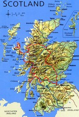
Scotland Tourist Map
65 miles away
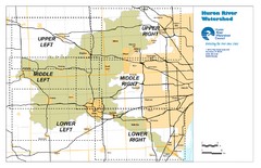
Huron River Watershed Map
Creek and watershed map of Huron River
66 miles away
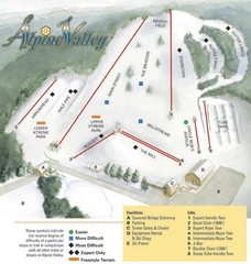
Alpine Valley Ski Area Ski Trail Map
Trail map from Alpine Valley Ski Area.
66 miles away
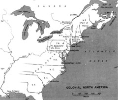
Colonial North America - 1689-1783 Historical Map
68 miles away
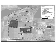
Ottawa National Wildlife refugee Map
68 miles away

