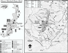
Mount Mitchell State Park map
Detailed recreational map for Mt. Mitchell State Park in North Carolina
139 miles away

Athens Airport Lines Map
139 miles away
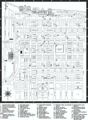
Savannah Historic District map
Map of Savannah, Georgia's historic district. Shows popular places
139 miles away
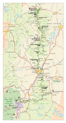
Asheville, North Carolina Parkway Map
140 miles away
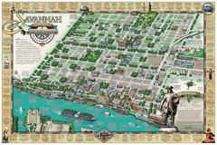
Savannah Historic District Illustrated Map
This Americana-style illustrated map depicts the Savannah Historic District from a birds-eye-view...
140 miles away
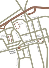
Downtown Asheville Map
Located in the heart of Asheville’s professional, municipal and cultural activity, Capital...
140 miles away
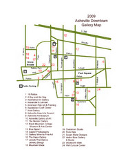
Downtown Asheville Galleria Map
Numbered shopping map of Downtown Asheville.
140 miles away
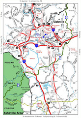
Asheville, NC Tourist Map
140 miles away

Asheville School Campus map
Map of the 300-acre campus of Asheville School, a private boarding school for grades 9-12 with...
141 miles away
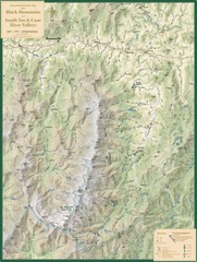
Black Mountains and South Toe and Cane River...
Guide to recreation around Mt. Mitchell State Park and Black Mountains
142 miles away
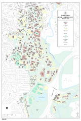
University of Georgia Map
Campus map of the University of Georgia. All buildings shown.
142 miles away

Athens, Georgia City Map
142 miles away
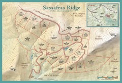
Sassafras Ridge Shaded Relief Map
This map is a shaded relief property map with survey boundaries and property roads. The map...
142 miles away
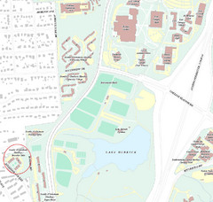
Brandon Town Map
Town of Brandon and University of Georgia Campus
142 miles away

University of Georgia and Surrounding Area Map
142 miles away

Lake Oconee Map
143 miles away

Sassafras Ridge Panorama Map
Panoramic view from Sassafras Ridge near Cashiers, North Carolina.
143 miles away
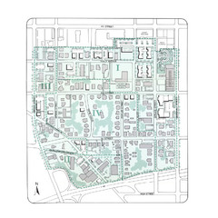
Downtown Wiston-Salem Map
The Holly Avenue neighborhood located on the southwestern edge of downtown Winston-Salem has...
144 miles away
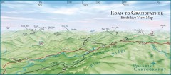
Panoramic View of Roan to Grandfather Map
This panorama takes in the vista from Roan to Grandfather mountain - overlooking the upper Linville...
146 miles away
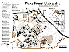
Wake Forest University Map
Campus map of Reynolda Campus
146 miles away
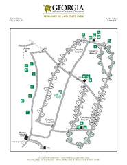
Skidaway Island State Park Map
Map of park with detail of trails and recreation zones
148 miles away
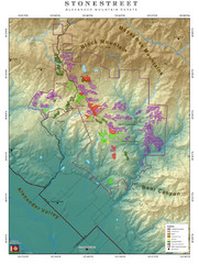
Alexander Mountain Estate Map
Vineyards in Alexander, North Carolina
148 miles away
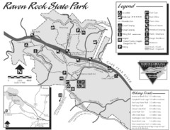
Raven Rock State Park Map
148 miles away
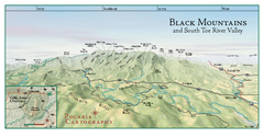
Black Mountains Panorama Map
This map portrays a sweeping vista of the Black Mountains and South Toe River Valley - extending...
149 miles away
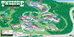
Tweetsie Railroad Park Map
Tweetsie Railroad is a unique attraction that allows children and families to explore their...
150 miles away
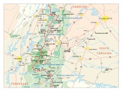
Appalachian Trail in North Carolina Map
Appalachian Trail in North Carolina. Shows major summits, National Forests, and hiking clubs.
150 miles away
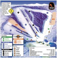
Appalachian Ski Trail Map
Official ski trail map of Appalachian ski area
150 miles away
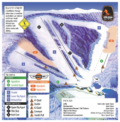
Appalachian Ski Mtn. Ski Trail Map
Trail map from Appalachian Ski Mtn..
151 miles away
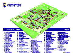
The University of North Carolina - Greensboro Map
The University of North Carolina - Greensboro Campus Map. All buildings shown.
151 miles away
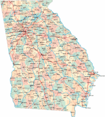
Georgia Road Map
Detailed, colorful road map of the state of Georgia.
151 miles away
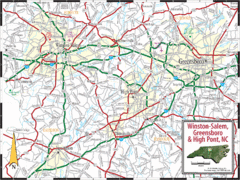
Greensboro, North Carolina City Map
151 miles away
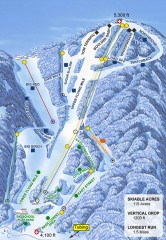
Sugar Mountain Ski Trail Map
Official ski trail map of Sugar Mountain ski area
151 miles away
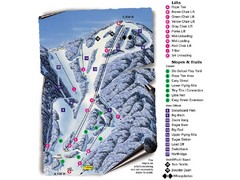
Sugar Mountain Resort Ski Trail Map
Trail map from Sugar Mountain Resort.
151 miles away
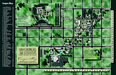
Georgia College Campus Map
Georgia College Campus Map. Shows all areas.
152 miles away
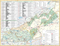
Pisgah National Forest and Nantahala National...
Pisgah National Forest and Nantahala National Forest recreation map. Contains list of all...
152 miles away
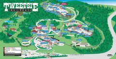
Tweetsie Tourist Map
153 miles away

Watauga County Attractions Map
Watauga County Tourist Attractions
153 miles away

Watauga County Restaurants Map
Watuaga County Restaurant Guide
153 miles away

Waynesville and Lake Junaluska Panoramic Map
Panoramic Map taking in Waynesville, Lake Junaluska and the Richland Creek watershed in Haywood...
153 miles away

Fort McAllister Historic Park Map
Map of park with detail of trails and recreation zones
153 miles away

