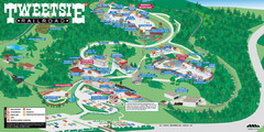
Tweetsie Railroad Park Map
Tweetsie Railroad is a unique attraction that allows children and families to explore their...
154 miles away
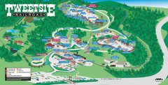
Tweetsie Tourist Map
154 miles away
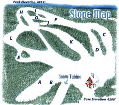
Hawksnest Golf & Ski Resort Ski Trail Map
Trail map from Hawksnest Golf & Ski Resort.
155 miles away

Watauga County Attractions Map
Watauga County Tourist Attractions
156 miles away

Watauga County Restaurants Map
Watuaga County Restaurant Guide
156 miles away
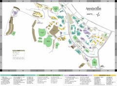
Appalachian State University Campus Map
Campus map of Appalachian State University in Boone, NC
156 miles away
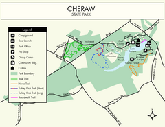
Cheraw State Park Map
Clear and descriptive state park map.
157 miles away
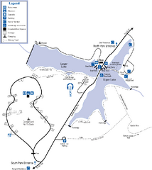
James H. Floyd State Park Map
Map of park with detail of trails and recreation zones
158 miles away

Summerville, South Carolina Tourist Map
159 miles away
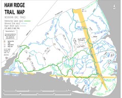
Haw Ridge Trail Map
159 miles away
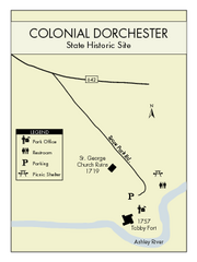
Colonial Dorchester State Park Map
Office, parking, picnic sites and more are all clearly marked on this state park site.
161 miles away
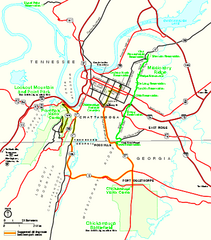
Chickamauga & Chattanooga National Military...
Official NPS map of Chickamauga & Chattanooga National Military Park in Georgia. All units of...
161 miles away
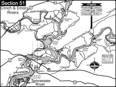
Kingston, TN Tennessee River/Clinch River/Emory...
Shows a bend on the Tennessee River at the confluence of the Clinch & Emory Rivers. For boat...
163 miles away
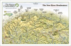
New River Headwaters Panorama Map
This panoramic map of the New River Headwaters area in North Carolina highlights TNC conservation...
163 miles away
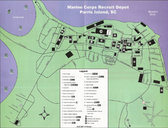
Parris Island Marine Corps Recruit Depot Map
Map of the Parris Island Marine Corps Recruit Depot near Beaufort, South Carolina. Shows...
164 miles away
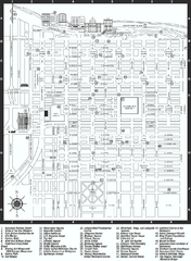
Savannah Historic District map
Map of Savannah, Georgia's historic district. Shows popular places
164 miles away
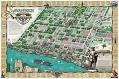
Savannah Historic District Illustrated Map
This Americana-style illustrated map depicts the Savannah Historic District from a birds-eye-view...
165 miles away
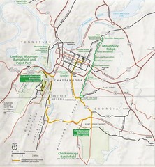
Chattanooga Guide Map
165 miles away
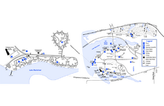
Georgia Veterans State Park Map
Map of park with detail of trails and recreation zones
166 miles away
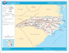
North Carolina Road Map
166 miles away

University of Tennessee Map
Campus map
167 miles away
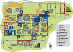
University of Tennessee Chattanooga Campus Map
Official campus map of University of Tennessee Chattanooga.
167 miles away
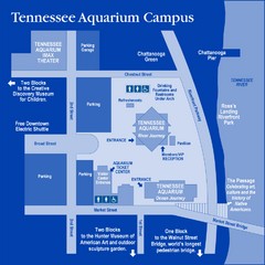
Tennessee Aquarium Campus Map
Map of Tennessee Aquarium Campus includes location of all buildings, bathrooms, parking, and...
168 miles away
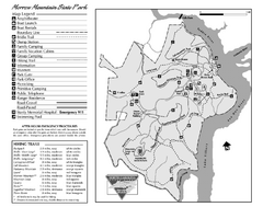
Morrow Mountain State Park map
Detailed recreational map for Morrow Mountain State Park in North Carolina
168 miles away
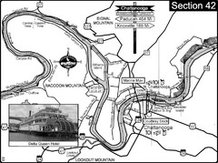
Chattanooga, TN Tennessee River Map
For boating navigational information and river road travel along the Tennessee River.
168 miles away
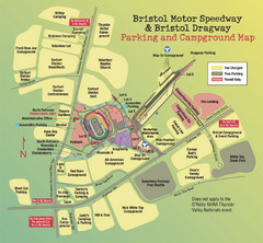
Bristol Motor Speedway Map
Guide to the campgrounds and parking at the Speedway
169 miles away
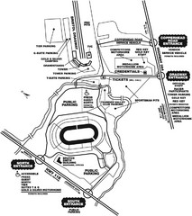
Bristol Dragway Map
Guide to campgrounds and parking at Bristol Dragway
169 miles away
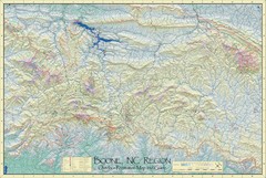
Boone, NC Outdoor Recreation Map
Guide to Boone, NC region
170 miles away

Charleston, South Carolina City Map
170 miles away
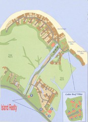
Harbor Island Real Estate Map
171 miles away
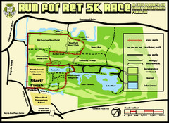
Hilton Head Run for Ret 5K Race Course Map
Hilton Head Island Run for Ret 5K Race Course, Aug 30, 2008.
171 miles away
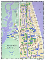
Palmetto Dunes Map
172 miles away
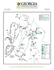
Cloudland Canyon State Park Map
Map of park with detail of trails and recreation zones
172 miles away
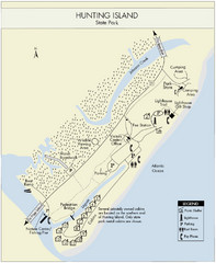
Hunting Island State Park Map
Shows facilities of Hunting Island State Park, South Carolina. Rated the #8 beach in America by...
172 miles away
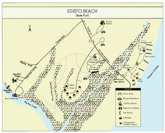
Edisto Beach State Park Map
Clearly labeled map of this beautiful state park.
172 miles away
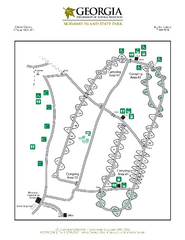
Skidaway Island State Park Map
Map of park with detail of trails and recreation zones
173 miles away

North Carolina Road Map
Road map of North Carolina
173 miles away

Fort McAllister Historic Park Map
Map of park with detail of trails and recreation zones
173 miles away
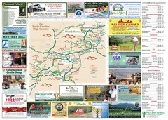
Ashe County Attractions Map
Ashe County Attractions
174 miles away
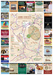
Ashe County Restaurant Map
Ashe County Restaurant Map
174 miles away

