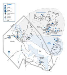
Hard Labor Creek State Park Map
Map of park with detail of trails and recreation zones
180 miles away
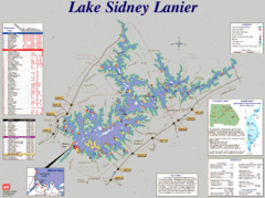
Lake Sidney Lanier Recreation Map
Recreation map of Lake Sidney Lanier in Georgia. Shows campgrounds, day use parks, marinas, and...
183 miles away
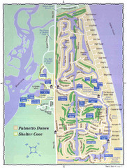
Palmetto Dunes Map
185 miles away
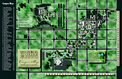
Georgia College Campus Map
Georgia College Campus Map. Shows all areas.
185 miles away
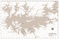
Pirate Map of Lake Sidney Lanier
Retro look pirate's map of Lake Sidney Lanier near Atlanta, Georgia
186 miles away
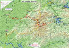
Cherohala Map
Map of Cherohala Skyway. Includes Visitor Information, roads, camping areas, and trails.
186 miles away
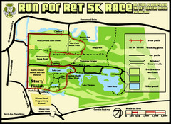
Hilton Head Run for Ret 5K Race Course Map
Hilton Head Island Run for Ret 5K Race Course, Aug 30, 2008.
187 miles away
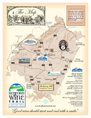
Bedford Wine Trail Map
Map of Bedford Wine Trail, showing all area wineries and vineyards.
187 miles away
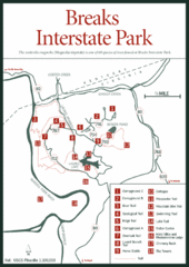
Breaks Interstate Park Map
Clear park map and legend.
188 miles away
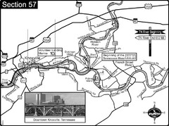
Knoxville, TN Tennessee River/Holston River...
This is the source of the Tennessee River at the confluence of the Holston River and French Broad...
189 miles away
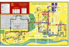
Knoxville, TN Tourist Map
190 miles away
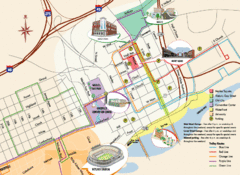
Knoxville, TN Tourist Map
190 miles away
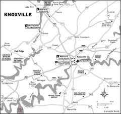
Knoxville, TN Tourist Map
190 miles away
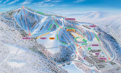
Winterplace Ski Resort Ski Trail Map
Trail map from Winterplace Ski Resort.
191 miles away
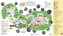
Knoxville Zoo Map
191 miles away
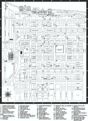
Savannah Historic District map
Map of Savannah, Georgia's historic district. Shows popular places
192 miles away
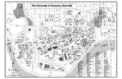
University of Tennessee Map
Campus Map of the University of Tennessee. All areas shown.
192 miles away
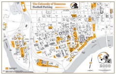
University of Tennessee Tourist Map
192 miles away
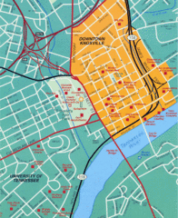
Knoxville, TN Tourist Map
192 miles away
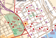
Knoxville, TN Tourist Map
192 miles away
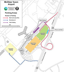
McGhee Tyson Airport Map
192 miles away
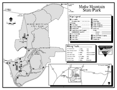
Medoc Mountain State Park map
Detailed recreation map for Medoc Mountain State Park in North Carolina.
192 miles away
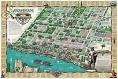
Savannah Historic District Illustrated Map
This Americana-style illustrated map depicts the Savannah Historic District from a birds-eye-view...
192 miles away
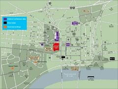
University of Tennessee Map
Map with locations of downtown Tennessee.
192 miles away
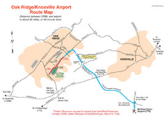
Knoxville and Oakridge Airports Map
192 miles away

Knoxville, Tennessee City Map
192 miles away

University of Tennessee Map
192 miles away
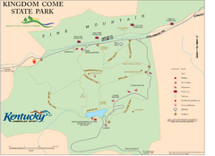
Kingdom Come State Park Map
Trail map for Kingdom Come State Park.
192 miles away
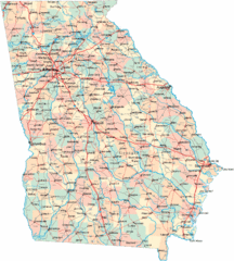
Georgia Road Map
Detailed, colorful road map of the state of Georgia.
193 miles away
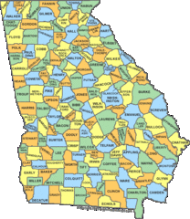
Georgia Counties Map
193 miles away
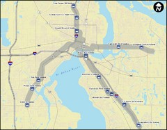
Jacksonville Bus Route Map
Bus routes in Jacksonville.
193 miles away
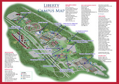
Liberty University Map
196 miles away
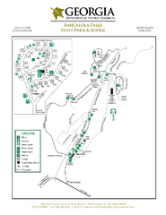
Amicalola Falls State Park Map
Map of park with detail of trails and recreation zones
196 miles away
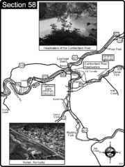
Harlan, KY-Cumberland River Headwaters Map
Section 58 of the Cumberland River Guidebook shows the beginning of the Cumberland River at the...
198 miles away
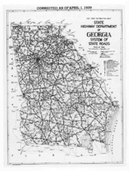
Georgia 1939 Road Map
State Road Map of Georgia in 1939
199 miles away
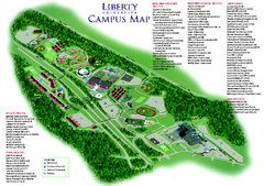
Liberty University Map
Liberty University Campus Map. All buildings shown.
200 miles away
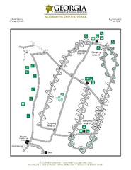
Skidaway Island State Park Map
Map of park with detail of trails and recreation zones
200 miles away
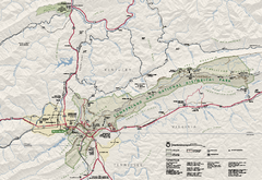
Cumberland Gap National Historical Park Official...
Official NPS map of Cumberland Gap National Historical Park in Virginia-Tennessee-Kentucky. Map...
200 miles away
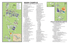
East Carolina University Map
East Carolina University Campus Map. All buildings shown.
201 miles away
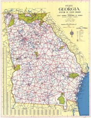
Georgia Road Map
Road map of state of Georgia, 1952
202 miles away

