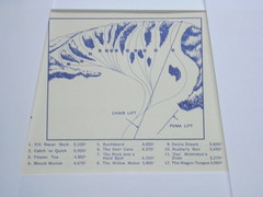
Devil’s Nest Devil’s Nest Ski Trail Map
Trail map from Devil’s Nest. This ski area opened in 1972.
416 miles away
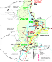
Grand Teton National Park Map - Winter
Official NPS winter map of Grand Teton National Park, Wyoming. The winter park map details winter...
416 miles away
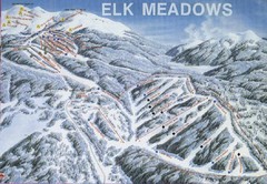
Elk Meadows Resort Ski Trail Map
Trail map from Elk Meadows Resort.
417 miles away

18th Century United States Map
417 miles away
Grand Tetons by Carvedmaps.com Map
Grand Tetons including Teton Villiage and Jenny Lake by carvedmaps.com
418 miles away
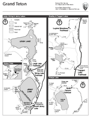
Grand Teton National Park Lakeshore Hiking Map
Shows scenic hikes around lakes such as Phelps, Jenny, Leigh and Taggart in Grand Teton National...
418 miles away
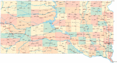
South Dakota Road Map
419 miles away
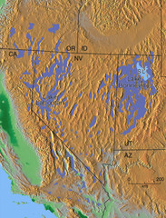
Pleisocene Lakes of western U.S. Map
419 miles away
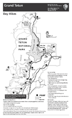
Grand Teton National Park Day Hikes Map
Shows suggested hikes and safety recommendations for day hikes in Grand Teton National Park, WY...
420 miles away

Grand Targhee Ski Trail Map
Official ski trail map of Grand Targhee ski area from the 2007-2008 season.
423 miles away
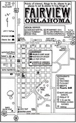
Fairview City Map
City map of Fairview with restaurants, government offices, medical services and hotels
425 miles away
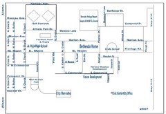
Goessel City Map
City Map of Goessel, Kansas
425 miles away
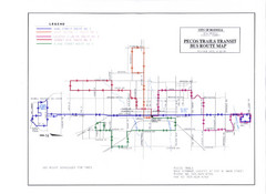
Pecos Trails Bus Route Map
426 miles away
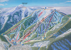
Ski Apache Ski Trail Map
Trail map from Ski Apache.
427 miles away
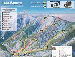
Ski Apache Ski Trail Map
Official ski trail map of Ski Apache ski area in New Mexico. Go to the site to view photos and...
427 miles away
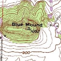
Mont Bleau Ski Trail Map
Trail map from Mont Bleau. This ski area opened in 1965/66.
430 miles away
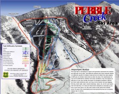
Pebble Creek Ski Trail Map
Official ski trail map of Pebble Creek ski area
431 miles away
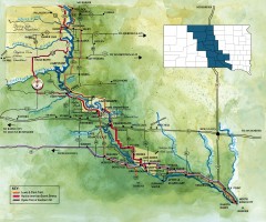
Great Lakes of South Dakota Map
Shows "the other Great Lakes" stretching along the Missouri River in South Dakota. Shows...
431 miles away

Little Big Horn Battlefield National Monument Map
Official NPS map of the Little Big Horn Battlefield National Monument. This area memorializes...
431 miles away
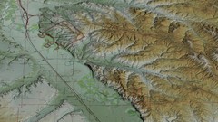
Custer Battlefield Oblique Map
433 miles away
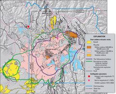
Yellowstone Geologic Map
Guide to geology, volcanic and earthquake activity and caldera outlines in Yellowstone National Park
434 miles away
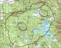
Yellowstone Lake Topographic Map
Topographic guide to Yellowstone Lake in Yellowstone National Park
435 miles away
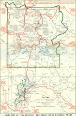
1929 Yellowstone and Grand Teton National Parks...
Map of older smaller boundaries of both national parks
436 miles away
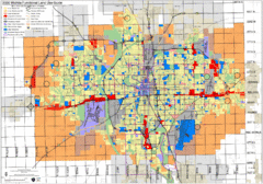
Wichita Functional Land Use Guide Map
Development map for future land use by 2030
437 miles away
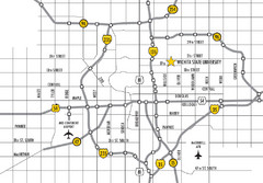
Wichita, Kansas City Map
439 miles away
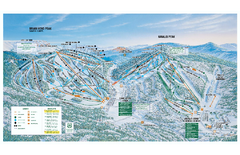
Brian Head Ski Trail Map
Official ski trail map of Brian Head ski area from the 2007-2008 season.
439 miles away
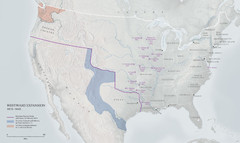
United States, Westward Expansion Map
439 miles away
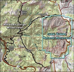
Topo Map of Ashdown Gorge Wilderness, including...
Cedar Breaks is similar to Bryce Canyon in many ways, but is more of an amphitheater than a canyon...
440 miles away
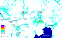
Bison Travel in Yellowstone National Park Map
General bison travel in Yellowstone National Forest, Wyoming
442 miles away
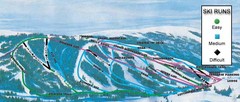
Kelly Canyon Ski Area Ski Trail Map
Trail map from Kelly Canyon Ski Area, which provides downhill, night, and terrain park skiing. It...
442 miles away
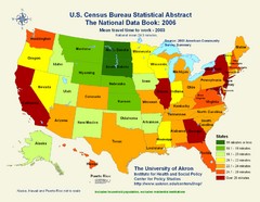
United States Travel Time to Work Statistical Map
444 miles away
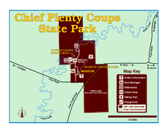
Chief Plenty Coups State Park Map
Simple and clear map of State Park.
444 miles away
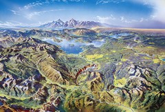
Yellowstone oblique Map
Oblique Panorama map of Yellowstone National Park
445 miles away
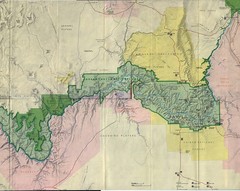
Grand Canyon National Park Map
Grand Canyon National Park including Kaibab National Forest and Coconino Plateau
446 miles away
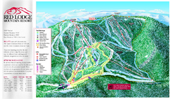
Red Lodge Mountain Ski Trail Map
Trail map from Red Lodge Mountain.
448 miles away
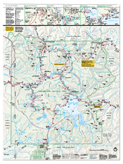
Yellowstone National Park official map
Official NPS map of Yellowstone National Park. Detail map of park with shaded relief. Established...
448 miles away
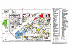
Texas Tech University Parking/ Visitor Map
Map showing all buildings, and detailed parking information at Texas Tech University.
448 miles away
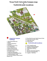
Texas Tech University Map
Campus Map of Texas Tech University. All buildings shown.
448 miles away
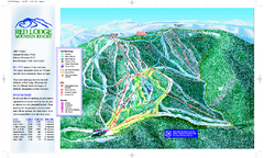
Red Lodge Mountain Ski Trail Map
Official ski trail map of Red Lodge Mountain ski area from the 2007-2008 season.
448 miles away
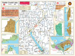
Tuttle Creek Lake Map
Army Corps of Engineers Map of Tuttle Creek Lake and adjoining State Parks.
449 miles away

