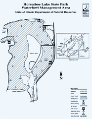
Horseshoe Lake State Park, Illinois Site Map
90 miles away
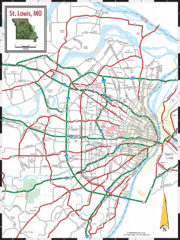
St. Louis, Missouri City Map
90 miles away
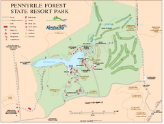
Pennyrile State Resort Park map
Recreation map for Pennyrile Forest State Park in Kentucky
90 miles away
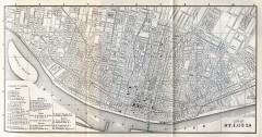
Antique map of St. Louis from 1885
Map of Saint Louis, Missouri from Appletons' General Guide to the United States and Canada...
91 miles away
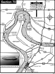
Ohio River at Evansville, IN and Henderson, KY Map
This is a page from the Ohio River Guidebook. The map shows important information for boaters and...
91 miles away
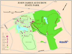
John James Audubon State Park Map
Map of trails, facilities and historical sites in John James Audubon State Park.
92 miles away
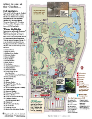
Missouri Botanic Gardens Map
92 miles away
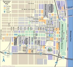
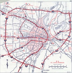
St. Louis, MO Tourist Map
92 miles away
St. Louis, MO Tourist Map
92 miles away
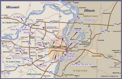
St. Louis, MO Tourist Map
92 miles away
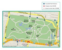
Forest Park, St. Louis Map
93 miles away
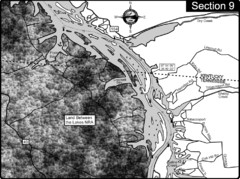
Lake Barkley-Cumberland River Map
Portion of Lake Barkley formed on the Cumberland River. In this section the state line is shown...
96 miles away

Columbia Bottom Conservation Area Map
98 miles away

Map of Jones-Confluence Point State Park
99 miles away
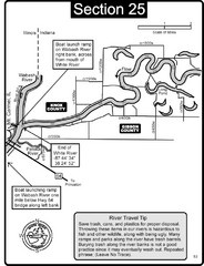
Mount Carmel, IL White River & Wabash River...
This is a page from the White River Guidebook. The map shows important information for boaters and...
100 miles away
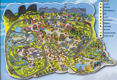
Six Flags St. Louis Map
Official Park Map of Six Flags St. Louis.
101 miles away

Locator Map for Jones-Confluence Point State Park
101 miles away

Upper Mississippi River Mile 188 to Mile 256 Map
history, mississippi river, river, baton rouge, donaldsonville, nottoway, gramercy, new orleans...
101 miles away
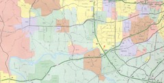
Powder Valley Map
Map of Powder Valley, includes all freeways, streets, waterways, and county divisions.
102 miles away

Coffeen Lake, Illinois Site Map
102 miles away

Hidden Valley Ski Trail Map
Trail map from Hidden Valley.
103 miles away

Hidden Valley Ski Trail Map
Official ski trail map of Hidden Valley ski area
103 miles away
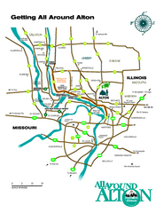
Alton, Illinois, and surrounding areas Map
Tourist map of the area around Alton, Illinois, showing ferry terminals, locks and dams, airports...
103 miles away

Attractions in Alton, Illinois Map
Tourist map of Alton, Illinois. Museums, monuments, and other points of interest are shown.
104 miles away
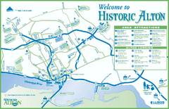
Historic Attractions in Alton, Illinois Map
Tourist map of historic attractions in Alton, Illinois. Shows museums, monuments, and lodging.
104 miles away
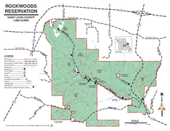
Map of Rockwoods Reservation, MO
Natural Area and hiking trails near St. Louis, MO.
104 miles away
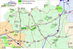
Green River Area Hunting Map
Map marking highways, forests, parks and hunting zones in Kentucky's beautiful Green River...
105 miles away
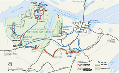
Fort Donelson National Battlefield Official Map
Official NPS map of Fort Donelson National Battlefield in Tennessee. Fort Donelson visitor center...
107 miles away
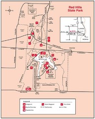
Red Hills, Illinois State Park Site Map
107 miles away
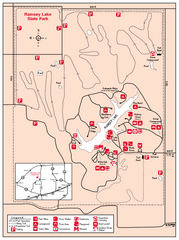
Ramsey Lake State Park, Illinois Site Map
108 miles away
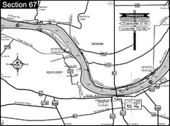
Ohio River at Owensboro, Kentucky Map
This is a page from the Ohio River Guidebook. The map shows important information for boaters and...
110 miles away
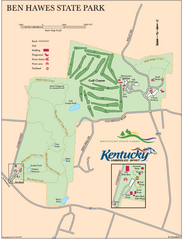
Ben Hawes State Park Map
Map of trails, facilities and golf course in Ben Hawes State Park.
111 miles away

Fountain Lakes Trail Map
Aerial map of trails at Fountain Lakes Park, 145 acres
111 miles away

Weldon Springs State Park, Illinois Site Map
112 miles away
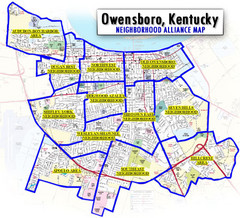
Owensboro, Kentucky City Map
115 miles away

Central Kentucky Trail Map
115 miles away
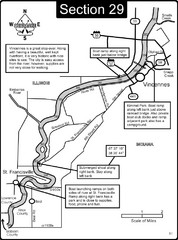
Vincennes, IN/ St. Francisville, IL Wabash River...
This is a page from the Wabash River Guidebook. The map shows important information for boaters and...
117 miles away
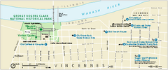
George Rogers Clark National Historical Park...
Official NPS map of George Rogers Clark National Historical Park in Indiana. Map shows all areas...
117 miles away

Vicennes and Knox County Indiana Visitor Map
Street map of Vicennes with maps of the entire state and county as well.
118 miles away
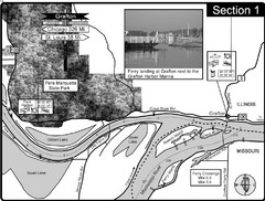
Grafton, IL Illinois River/Mississippi River/Pere...
This is the end of the Illinois River at the confluence with the Mississippi River. For boating...
118 miles away

