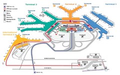
Chicago O'hare Airport Map
590 miles away
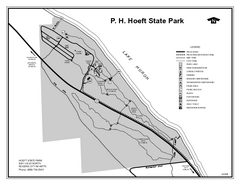
P.H. Hoeft State Park, Michigan Site Map
590 miles away

North Branch Trail Map
Picnic Areas and Trail Map
591 miles away
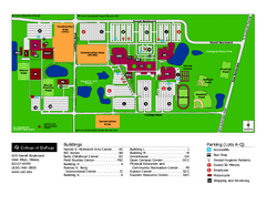
College of Dupage Campus Map
College of Dupage Campus Map. Located in Illinois. Shows all areas.
593 miles away
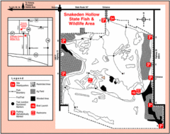
Snakeden Hollow State Park, Illinois Site Map
593 miles away
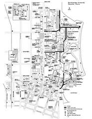
Northwestern University Map
Northwestern University Campus Map. All buildings shown.
593 miles away
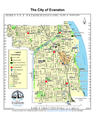
Evanston City Map
City map of Evanston, Illinois
593 miles away
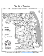
Evanston City Map
City map of Evanston, Illinois
593 miles away
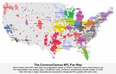
NFL Fan Bases Map
Shows US fan bases of NFL teams
594 miles away
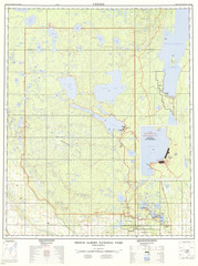
Prince Albert National Park Topo Map
Topographical map of Prince Albert National Park in Saskatchewan, Canada. From atlas.nrcan.gc.ca...
595 miles away
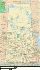
Saskatchewan Overview Map
Overview map of the Canadian province of Saskatchewan.
595 miles away
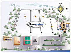
Four Lakes Village Ski Trail Map
Trail map from Four Lakes Village, which provides downhill skiing. This ski area has its own...
596 miles away
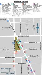
Chicago Lincoln Square Map
597 miles away
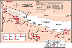
Starved Rock State Park, Illinois Site Map
598 miles away

Little Big Horn Battlefield National Monument Map
Official NPS map of the Little Big Horn Battlefield National Monument. This area memorializes...
598 miles away
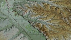
Custer Battlefield Oblique Map
598 miles away

Westmont Park District Map
599 miles away
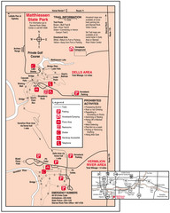
Matthiessen State Park, Illinois Site Map
599 miles away
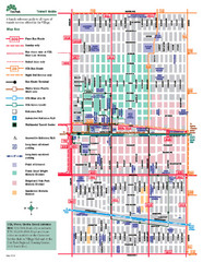
Oak Park Transit Map
Transit Guide to Oak Park, Illinois
599 miles away
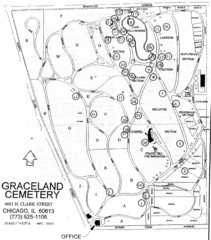
Graceland Cemetery Map
Map of the sections of Graceland cemetery with notable burials marked Key here: http://mappery.com...
599 miles away
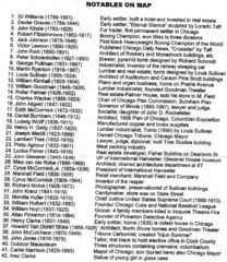
Graceland Cemetery Map key
key for the map of Graceland Cemetery: http://mappery.com/Graceland-Cemetery-Map
599 miles away
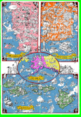
A MAD Pictorial Map of the United States - Back...
I found these raw assembled scans in a dieing torrent in 2010. Hash code...
599 miles away
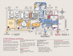
Layola University Medical Campus Map
Map of Layola University Campus. Shows specific location of the hospital, emergency department...
599 miles away
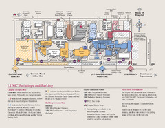
Loyola University Medical Center Map
Visitor map of Loyola University Medical center including Hospital/ Emergency and Output center...
599 miles away
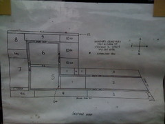
Map of Wunders Cemetery in Chicago, IL
Map of the burial sections for Wunders Cemetery
599 miles away
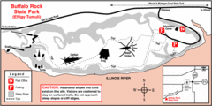
Buffalo Rock State Park, Illinois Site Map
599 miles away
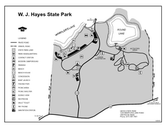
Hayes State Park, Michigan Unit Map
600 miles away

Salt Creek Map
Picnic Areas and Trail Map
600 miles away
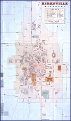
Kirksville City Map
City map of Kirksville, Missouri. Scanned.
601 miles away
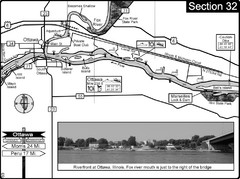
Ottawa, IL Illinois River/Fox River Map
For boating navigation and river road travel on the Illinois River. Shows confluence of the Fox...
601 miles away
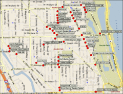
Lincoln Park Chicago Tourist Map
601 miles away

Map Rules
601 miles away
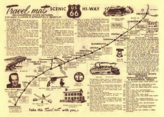
Route 66 Chicago, IL to Springfield, MI Map
602 miles away
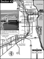
Chicago, IL Sanitary & Ship Canal/Chicago...
This is the beginning of the Illinois Waterway that connects Lake Michigan to the Mississippi River...
602 miles away
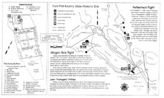
Fort Phil Kearny State Historic Site Map
Fort Phil Kearny State Historic Site is a National Historic Landmark located between Sheridan and...
602 miles away
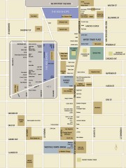
Shopping map of Chicago
Map of all shopping within the 900 Shops district of Chicago
603 miles away
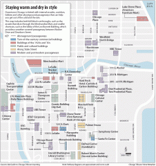
Downtown Chicago tourist map
Incredible pedway map of Downtown Chicago, showing historical architecture and internal arcades to...
604 miles away
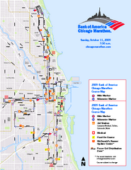
Chicago 2009 Marathon Map
Guide to the 2009 Chicago Marathon
604 miles away
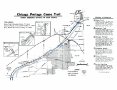
Chicago Portage Canoe Trail Map
Map of the Chicago Portage Canoe Trail in western Cook County on the Des Plaines River, Illinois...
604 miles away
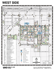
University of Illinois at Chicago - West Map
604 miles away

