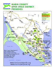
Marin Open Space Preserves Map
Shows all Open Space Preserves in Marin County, CA.
112 miles away
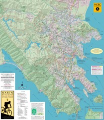
Marin, California Bike Map
112 miles away
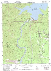
Shasta Dam Quad - Shasta Lake Map
Topographic map, Shasta Dam Quadrangle, California 1969. Area of map includes a portion of Shasta...
112 miles away
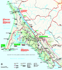
Point Reyes National Seashore Map
Official NPS map of Point Reyes National Seashore in Marin County, California. Shows trails, roads...
113 miles away

Mt. Burdell Open Space Preserve Map
Trail map of Mt. Burdell Open Space Preserve and Olompali State Historic Park in Novato, Marin...
113 miles away
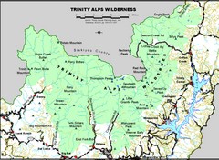
Trinity Alps Wilderness Map
Overview map of the Trinity Alps Wilderness near Weaverville, CA
114 miles away
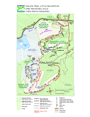
Indian Tree, Little Mountain, and Verissimo Hills...
115 miles away
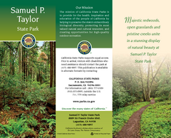
Samuel P. Taylor State Park Map
Map of park with detail of trails and recreation zones
115 miles away
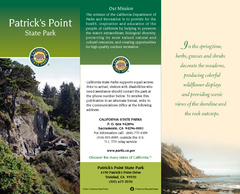
Patrick's Point State Park Map
Map of park with detail of trails and recreation zones
116 miles away
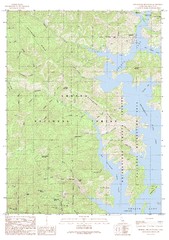
Bohemotash Mountain Quad - Shasta Lake Map
Topographic map, Bohemotash Mountain Quadrangle, California 1990. Area of map includes a portion of...
116 miles away
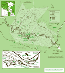
Samuel Taylor State Park Trail Map
Trail map of Samuel Taylor State Park near Lagunitas, CA.
116 miles away
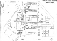
Novato High School Campus Map
117 miles away
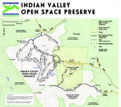
Indian Valley Open Space Preserve Map
117 miles away
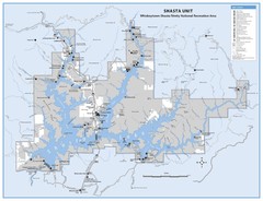
Shasta Unit - Whiskeytown-Shasta-Trinity National...
Map of Shasta Lake, California, showing roads, campgrounds, marinas and resorts, hiking and biking...
118 miles away
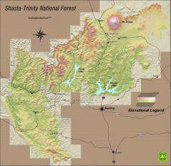
Shasta Trinity National Forest Elevation Map
Shaded relief map of Shasta-Trinity National Forest in northern California
118 miles away

Redwood National Park Map
118 miles away
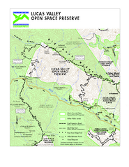
Lucas Valley Open Space Preserve Map
119 miles away
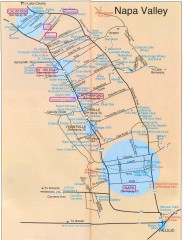
Napa Valley Tourist map
Tourist map of Napa Valley in California, showing wineries and museums in the area.
119 miles away
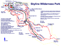
Skyline Wilderness Park Map
Trail map of Skyline Wilderness Park in Napa, California
119 miles away
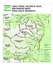
Loma Verde, Pacheco Valley, Lucas Valley and...
119 miles away
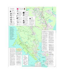
Marin Bicycle Map - Side B
Bike route map of Marin County, California. Shows primary and secondary road routes, paved and...
120 miles away
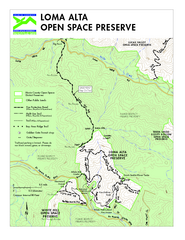
Loma Alta Preserve Map
Topographical trail map of Loma Alta Preserve in Marin County, California
120 miles away
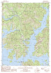
O'Brien Quad - Shasta Lake Map
Topographic map, O'Brien Quadrangle, California 1990. Area of map includes a portion of Shasta...
120 miles away
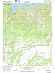
Bella Vista Quad - Shasta Lake Map
Topographic map, Bella Vista Quadrangle, California 1976. Area of map includes a portion of Shasta...
120 miles away
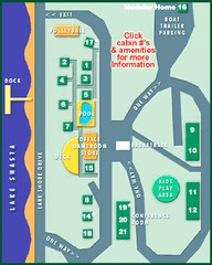
Tsasdi Resort - Shasta Lake Map
Map of the grounds of Tsasdi Resort, lakehead, CA.
121 miles away
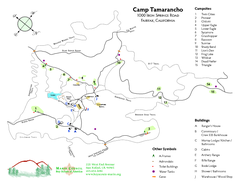
Tamarancho Map
121 miles away
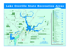
Lake Oroville State Recreation Area Map
Recreation overview map of Lake Oroville State Recreation Area near Oroville, California. Show all...
122 miles away
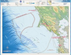
Cordell Bank National Marine Sanctuary Map
Topo and bathymetric map of the Cordell Bank National Marine Sanctuary, located 60 miles northwest...
122 miles away
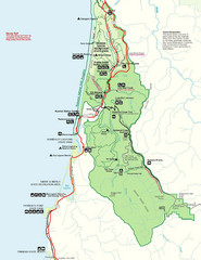
Prairie Crek State Park Map
123 miles away
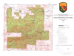
Latour State Forest Map
Countour map of the Latour Demonstration Forest.
123 miles away
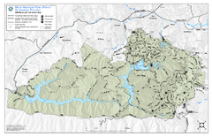
Mt. Tamalpais Watershed Trail Map
Shows roads and trails in the 18,500 Mt. Tamalpais Watershed near Fairfax, California.
123 miles away

Santa Margarita Island, Santa Venetia Marsh, and...
Park map of Santa Margarita Island Open Space Preserve, Santa Venetia Marsh Open Space Preserve...
123 miles away

Southern Golden Gate National Recreation Map
124 miles away
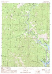
Lamoine Quad - Shasta Lake Map
Topographic map, Lamoine Quadrangle, California 1990. Area of map includes a portion of Shasta Lake...
124 miles away

China Camp State Park Map
Map of park with detail of trails and recreation zones
125 miles away
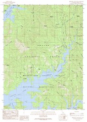
Minnesota Mountain Quad - Shasta Lake Map
Topographic map, Minnesota Mountain Quadrangle, California 1990. Area of map includes a portion of...
125 miles away
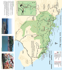
China Camp State Park Map
Trail map of China Camp State Park. Shows trails by use type and all park facilities.
125 miles away
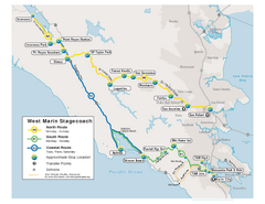
West Marin Bus Map
Bus route map of West Marin Stagecoach. Shows routes to Inverness, Point Reyes Station, Olema...
125 miles away
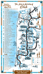
Orick Redwood National Park Map
126 miles away
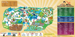
Six Flags Discovery Kingdom Park Map
Six Flags Discovery Kingdom theme park (formerly Marine World) in Vallejo, California. Experience...
126 miles away

