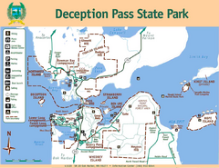
Deception Pass State Park Map
Map of park with detail of trails and recreation zones
110 miles away
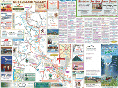
Snoqualmie Valley tourist map
Tourist map of the Snoqualmie Valley, Washington. Shows all businesses.
111 miles away
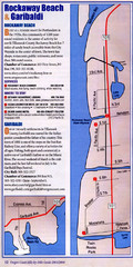
Rockaway Beach Map
111 miles away
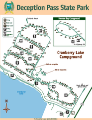
Deception Pass State Park Map
Map of park with detail of trails and recreation zones
111 miles away
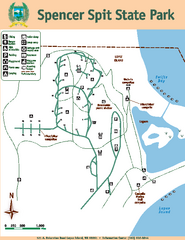
Spencer Spit State Park Map
Map of park with detail of trails and recreation zones
111 miles away
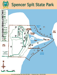
Spencer Spit State Park Map
Map of park with detail of trails and recreation zones
111 miles away
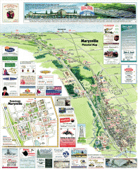
Marysville tourist map
Tourist map of Marysville, Washington. Shows all businesses.
111 miles away
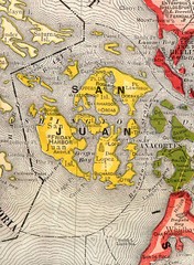
San Juan County Washington, 1909 Map
112 miles away
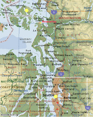
Washington State - West Coast Map
Washington State - West Coast Map
112 miles away
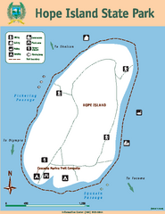
Hope Island State Park Map
Map of park with detail of trails and recreation zones
112 miles away

Orcas tourist map
Tourist map of Orcas, Washington. Shows all businesses.
113 miles away
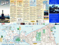
Fidalgo Island tourist map
Tourist map of Fidalgo Island in Anacortes, Washington. Shows recreation and points of interest.
114 miles away
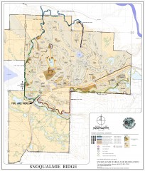
Snoqualmie Trail Map
Shows both soft surface and paved trails for biking, running/hiking/wailking, and horseback riding
114 miles away
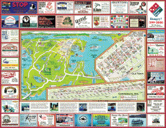
Anacortes tourist map
Tourist map of Anacortes, Washington. Shows recreation and points of interest.
114 miles away

Centennial Trail Map
Centennial Trail has 23 miles completed (Snohomish to Bryant) with more in progress.
115 miles away

Centennial Trail Map
115 miles away
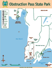
Obstruction Pass State Park Map
Map of park with detail of trails and recreation zones
116 miles away
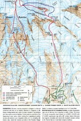
Mount Rainier Topo Map
Map of Mount Rainier Ascent. We ascended the "Muir Snowfield" and then went up the "...
116 miles away

Arlington and Smokey Point tourist map
Tourist map of Arlington and Smokey Point, Washington. Shows all businesses.
116 miles away
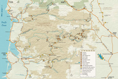
Tillamook State Forest Map
Recreation map of Tillamook State Forest. Over 60 miles of non-motorized trails and 150 miles of...
116 miles away
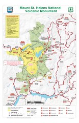
Mt. Saint Helens National Volcanic Monument...
Official recreation map showing all roads, trails, campgrounds, and other facilities. Also shows...
116 miles away
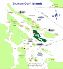
Southern Gulf Islands Map
Map of the region. Shows ferry routes.
117 miles away

Mt. Rainier 3D Print Map
This is a 3D-printed map of the cone of Mt. Rainier in Washington, USA, including Liberty Cap, many...
118 miles away
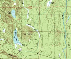
Fuller Mountain Topo Map
Fuller Mountain map with lakes, mountains and elevations identified.
118 miles away
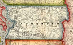
Snohomish County Washington, 1909 Map
118 miles away
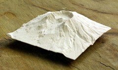
Mt. St. Helens 3D Print Map
This is a 3D-printed map of the cone, crater, and summit of Mt. St. Helens in Washington, USA. It...
118 miles away
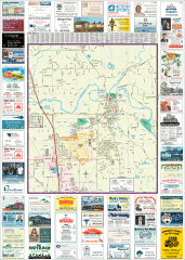
Arlington tourist map
Tourist map of Arlington, Washington. Shows all businesses.
118 miles away
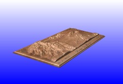
Mount St. Helens carved in wood by carvedmaps.com...
Mount St. Helens carved in wood by carvedmaps.com
118 miles away
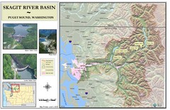
Skagit River Map
Skagit River Basin Overview Map (Pink shading is the FEMA 100 Year Flood)
119 miles away
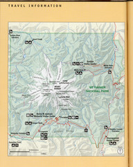
Mount Rainier National Park Map
Guide to the Mount Rainier National Park
119 miles away
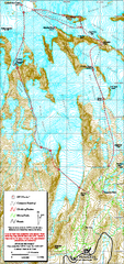
Mount Rainier Paradise Climbing Route map
Map shows all hiking and climbing routes originating from Paradise at 5,400 ft.
119 miles away
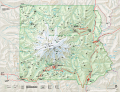
Mount Rainier National Park map
Official NPS map of Mt. Rainier National Park. Shows the entire park and surroundings
119 miles away
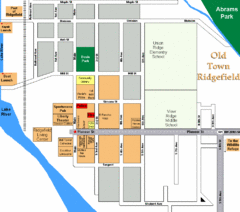
Guide Map of Old Town Ridgefield
Guide Map of Old Town Ridgefield, Washington
119 miles away
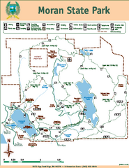
Moran State Park Map
Map of park with detail of trails and recreation zones
119 miles away
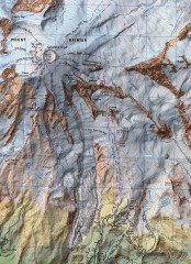
Mt. Rainier Climbing Routes Map
Shows major climbing routes on Mt. Rainier on southwest part of mountain.
120 miles away
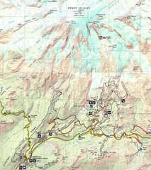
Pinnacle Saddle Trail Map
120 miles away
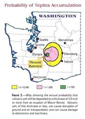
Mount Rainier Probability of Tephra (Ash...
120 miles away
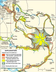
Mount Rainier Potential Lava Flow, Mud Flow and...
Hazard zones for lahars, lava flows, and pyroclastic flows from Mount Rainier. The map shows areas...
120 miles away
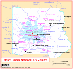
Mount Rainier National Park Vicinity Map
120 miles away
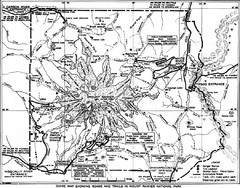
1928 Mount Rainier National Park Map
Guide to Mount Rainier National Park in 1938
120 miles away

