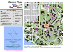
University of Washington map
94 miles away

Washington Park Arboretum Trail Map
Trail map of Washington Park Arboretum in Seattle.
94 miles away
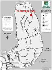
Seward Park Trails Map
Map of the trails in Seward Park, a 300-acre park on a peninsula in the south Seattle, WA area.
94 miles away
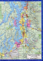
Seattle, Washington City Map
95 miles away
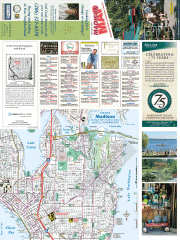
Greater Madison tourist map
Tourist map of Greater Madison, Washington. Shows all businesses.
95 miles away
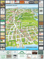
Madison Park tourist map
Tourist map of Madison Park, Washington. Shows all businesses.
95 miles away
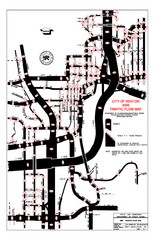
Renton WA Traffic Flow Map
City of Renton, WA traffic flow map
95 miles away

Pierce County Washington Map, 1909 Map
95 miles away
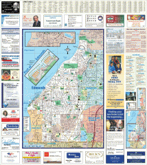
Edmonds tourist map
Tourist map of Edmonds, Washington. Shows all businesses.
95 miles away
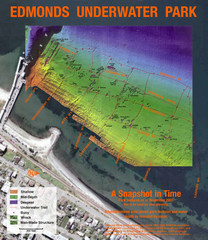
Edmonds Underwater Park Map
Map of underwater park for divers
95 miles away
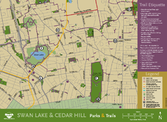
Swan Lake & Cedar Hill Area Map
Swan Lake & Cedar Hill Parks & Trails
95 miles away

Mount Tolmie Park Map
96 miles away
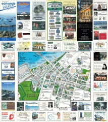
Downtown Edmonds tourist map
Tourist map of Downtown Edmonds, Washington. Shows all businesses.
96 miles away
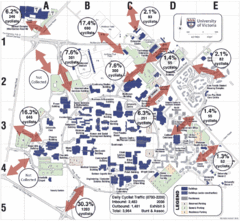
UVic Bicycle Access Patterns 2008 Map
Showing bicycle usage statistics
96 miles away
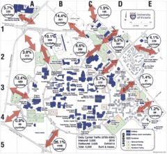
UVic Bicycle Access Patterns 2010 Map
Showing bicycle usage statistics
96 miles away
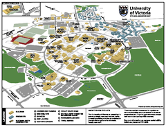
University of Victoria - Cycling Amenities Map
Showing the various cycling related amenities ie. Covered Bicycle Parking, bicycle lockers...
96 miles away
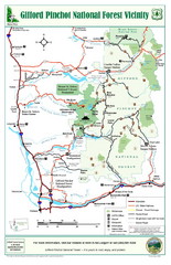
Gifford Pinchot National Forest Vicinity Map
Gifford Pinchot National Forest and surrounding areas including Mt. St Helens.
97 miles away
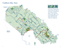
Cadboro Bay Area Map
97 miles away
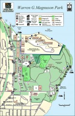
Warren G. Magnuson Park Map
Map of Warren G. Magnuson Park Warren G. Magnuson Park sits on a splendid mile-long stretch of...
97 miles away
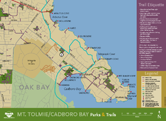
Mt. Tolmie & Cadboro Bay Map
Section of larger map, showing Seaside Touring Route and other regional and local cycling routes...
97 miles away
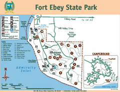
Fort Ebey State Park Map
Map of park with detail of trails and recreation zones
97 miles away
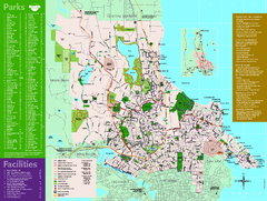
Full Map of Saanich Parks & Trails 2012
Full Map of Saanich Parks & Trails 2012
97 miles away

Whidbey Island tourist map
Tourist map of Whidbey Island and Coupeville, Washington. Shows all businesses.
97 miles away
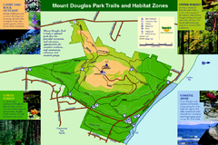
Mount Douglas Park Trails and Habitat Zones Map
97 miles away
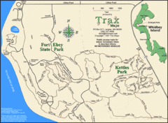
Ft Ebey/Kettle Park Trail Map
Trail map of Fort Ebey Park and Kettle Park, Washington
98 miles away
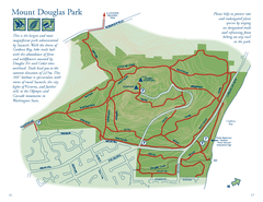
Mount Douglas Park Map
98 miles away
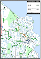
Cycling routes to UVic Map
Bike Route Map of Local Area around UVic © 2007, University of Victoria Updated 17 April...
98 miles away

South Whidbey Island tourist map
Tourist map of South Whidbey Island, Washington. Shows all businesses.
98 miles away
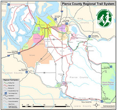
Pierce County Regional Trail Map
County-wide system of trails
98 miles away

Galloping Goose and Lochside Regional Trails Map
98 miles away
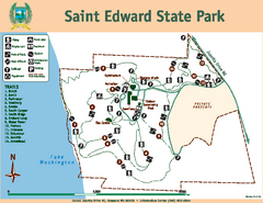
Saint Edward State Park Map
Map of park with detail of trails and recreation zones
98 miles away
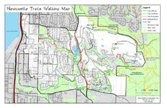
Newcastle Trails Trail Map
Trail map of existing and proposed trails in Newcastle, WA
98 miles away

South Whidbey tourist map
Tourist map of South Whidbey, Washington. Shows all businesses.
98 miles away
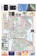
Bellevue tourist map
Tourist map of Bellevue, Washington. Shows all businesses.
98 miles away
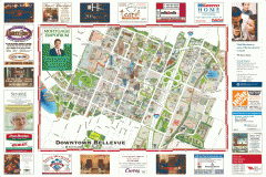
Tourist map of Downtown Bellevue
Tourist map of Downtown Bellevue, Washington. Shows all businesses.
98 miles away

