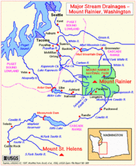
Mount Rainier Major Stream Drainages Map
28 miles away
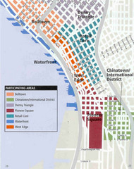
Seattle Neighborhoods Map
Map outlines several neighborhoods in Seattle, Wahsington
28 miles away
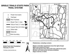
Bridle Trails State Park Map
28 miles away
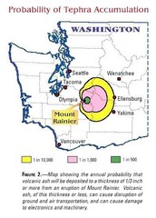
Mount Rainier Probability of Tephra (Ash...
28 miles away
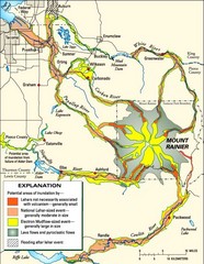
Mount Rainier Potential Lava Flow, Mud Flow and...
Hazard zones for lahars, lava flows, and pyroclastic flows from Mount Rainier. The map shows areas...
29 miles away
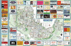
Redmond tourist map
Tourist map of Redmond, Washington. Shows all businesses.
29 miles away
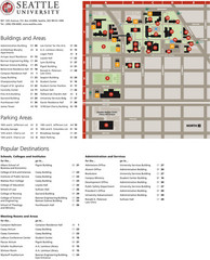
Seattle University Map
Campus Map
29 miles away
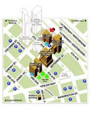
Municipal Court of Seattle Location Map
29 miles away
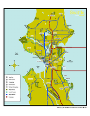
Neighborhoods of Seattle, Washington Map
Tourist map of Seattle, Washington, showing neighborhoods, parks, and scenic drives.
29 miles away
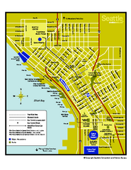
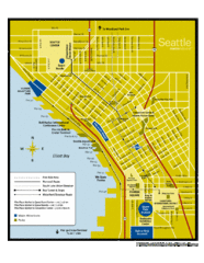
Downtown Seattle, Washington Map
Tourist map of downtown Seattle, Washington. Shows locations of Space Needle, Experience Music...
29 miles away
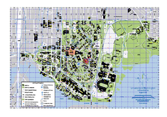
University of Washington - Seattle Campus Map
Campus Map of the University of Washington - Seattle Campus. All buildings shown.
29 miles away

Shadowrun Redmond Map
29 miles away
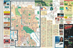
Redmond Area tourist map
Tourist map of the Redmond Area on Washington. Shows all businesses.
29 miles away

Seattle Shopping map for Lucky Magazine
Illustrated map of Seattle shopping locations illustrated by MapsIllustrated for Lucky Magazine(NYC)
29 miles away
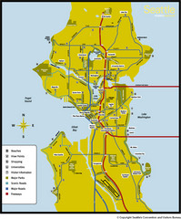
Seattle, Washington City Map
29 miles away
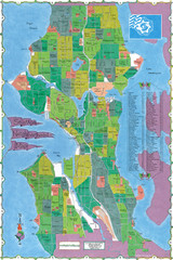
Seattle Neighborhood Map
29 miles away
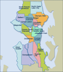
Seattle Neighborhood Map
29 miles away
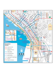
Downtown Seattle Bikeways Map
Map of bike paths, bike lanes, public transportation and points of interest in Seattle, Washington.
29 miles away
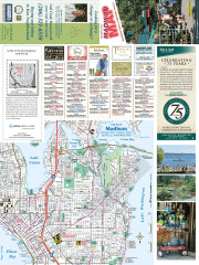
Greater Madison tourist map
Tourist map of Greater Madison, Washington. Shows all businesses.
30 miles away
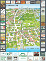
Madison Park tourist map
Tourist map of Madison Park, Washington. Shows all businesses.
30 miles away

Greater Kirkland tourist map
Tourist map of Greater Kirkland, Washington. Shows all businesses.
30 miles away
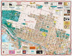
Capitol Hill tourist map
Tourist map of Capitol Hill in Seattle, Washington. Shows all businesses.
30 miles away
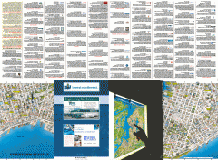
Downtown Seattle biotech map
Downtown Seattle map of biotechnology companies.
30 miles away
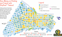
Seattle City Parks Map
30 miles away
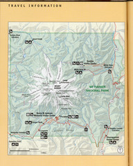
Mount Rainier National Park Map
Guide to the Mount Rainier National Park
30 miles away
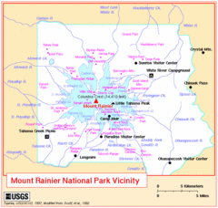
Mount Rainier National Park Vicinity Map
30 miles away

Washington Park Arboretum Trail Map
Trail map of Washington Park Arboretum in Seattle.
30 miles away
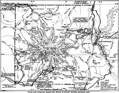
1928 Mount Rainier National Park Map
Guide to Mount Rainier National Park in 1938
30 miles away

Mt. Rainier 3D Print Map
This is a 3D-printed map of the cone of Mt. Rainier in Washington, USA, including Liberty Cap, many...
30 miles away
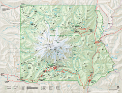
Mount Rainier National Park map
Official NPS map of Mt. Rainier National Park. Shows the entire park and surroundings
31 miles away
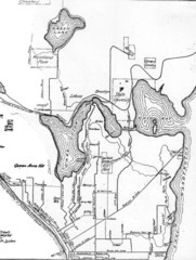
Seattle Historic Bike Paths Map
Historic bike paths in Seattle
31 miles away
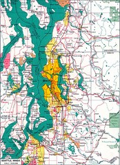
Seattle Region Map
31 miles away
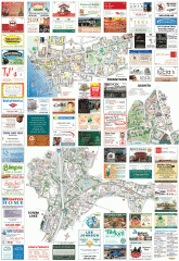
Kirkland tourist map
Kirkland, Washington tourist map. Shows all businesses.
31 miles away
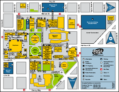
Seattle City Center, Washington Map
Map of points of interest in Seattle Center. KeyArena, the Space Needle, theaters, parking and...
31 miles away
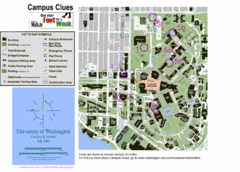
University of Washington map
31 miles away
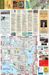
Queen Anne tourist map
Tourist map of Queen Anne, Washington. shows all businesses.
32 miles away
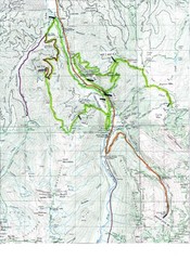
White River 50 Course Map
White River 50 Mile Trail Run
32 miles away
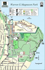
Warren G. Magnuson Park Map
Map of Warren G. Magnuson Park Warren G. Magnuson Park sits on a splendid mile-long stretch of...
32 miles away
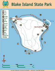
Blake Island State Park Map
Map of park with detail of trails and recreation zones
32 miles away

