Tigard Oregon Road Map
103 miles away
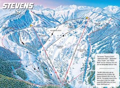
Stevens Pass Ski Area Stevens Pass Mill Valley...
Trail map from Stevens Pass Ski Area, which provides night and terrain park skiing. It has 8 lifts...
103 miles away
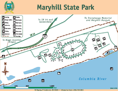
Maryhill State Park Map
Map of park with detail of trails and recreation zones
103 miles away
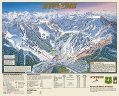
Stevens Pass Trail Map
103 miles away

Happy Valley Oregon Road Map
103 miles away
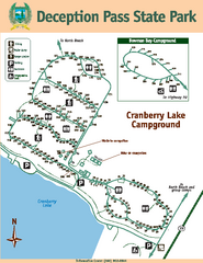
Deception Pass State Park Map
Map of park with detail of trails and recreation zones
104 miles away
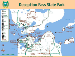
Deception Pass State Park Map
Map of park with detail of trails and recreation zones
104 miles away

Lake Oswego Oregon Road Map
104 miles away
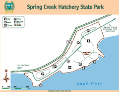
Spring Creek Hatchery State Park map
Map of park with detail of trails and recreation zones
105 miles away

King City Oregon Road Map
105 miles away
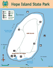
Hope Island State Park Map
Map of park with detail of trails and recreation zones
105 miles away
BEACON HILL PARK MAP
106 miles away
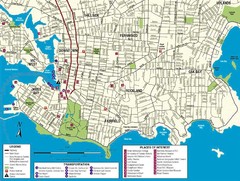
Downtown Victoria Map
106 miles away

Shuttle to Town Map
106 miles away
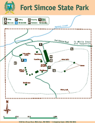
Fort Simcoe State Park Map
Map of park with detail of trails and recreation zones
106 miles away
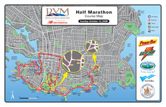
2008 Royal Victoria Half Marathon Map
Course Map for the Royal Victoria Half Marathon. Held Sunday, October 12, 2008
107 miles away
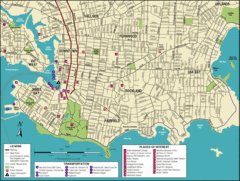
Victoria, British Columbia Tourist Map
107 miles away
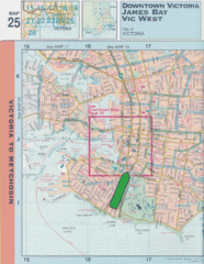
Downtown Victoria, British Columbia Tourist Map
107 miles away
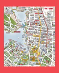
Victoria City Tourist Map
Tourist map of Victoria City on Vancouver Island, BC
107 miles away
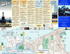
Fidalgo Island tourist map
Tourist map of Fidalgo Island in Anacortes, Washington. Shows recreation and points of interest.
107 miles away
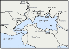
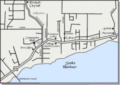
Community of Sooke, British Columbia Map
http://www.sooke.org/maps/map2.htm © Pax Media Inc.
107 miles away
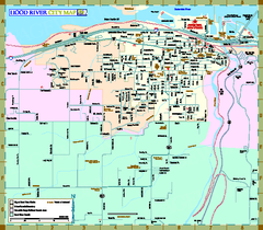
Hood River Map
Tourist map of city of Hood River, Oregon.
107 miles away

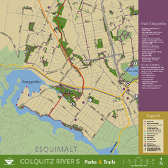
Welcome to Esquimalt Parks and Recreation...
107 miles away

Mount Tolmie Park Map
108 miles away
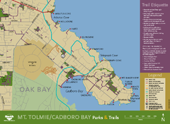
Mt. Tolmie & Cadboro Bay Map
Section of larger map, showing Seaside Touring Route and other regional and local cycling routes...
108 miles away
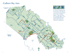
Cadboro Bay Area Map
108 miles away
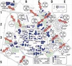
UVic Bicycle Access Patterns 2008 Map
Showing bicycle usage statistics
109 miles away
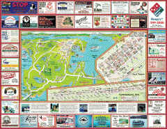
Anacortes tourist map
Tourist map of Anacortes, Washington. Shows recreation and points of interest.
109 miles away
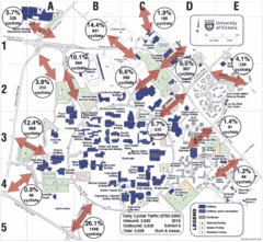
UVic Bicycle Access Patterns 2010 Map
Showing bicycle usage statistics
109 miles away
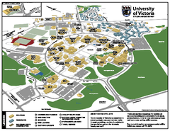
University of Victoria - Cycling Amenities Map
Showing the various cycling related amenities ie. Covered Bicycle Parking, bicycle lockers...
109 miles away
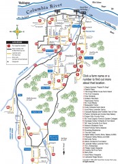
Hood River County Fruit Loop map
35-mile scenic drive through the valley's orchards, forests, farmlands, and friendly...
109 miles away
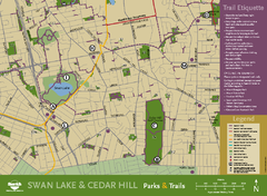
Swan Lake & Cedar Hill Area Map
Swan Lake & Cedar Hill Parks & Trails
109 miles away
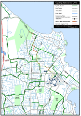
Cycling routes to UVic Map
Bike Route Map of Local Area around UVic © 2007, University of Victoria Updated 17 April...
109 miles away
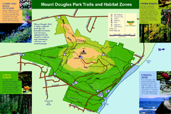
Mount Douglas Park Trails and Habitat Zones Map
111 miles away
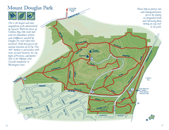
Mount Douglas Park Map
111 miles away
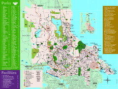
Full Map of Saanich Parks & Trails 2012
Full Map of Saanich Parks & Trails 2012
111 miles away
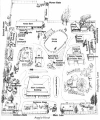
San Juan County Fair Map 2008
Fairgrounds map for the San Juan County Fair, Friday Harbor, Washington
112 miles away

