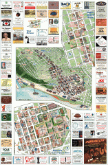
Queen Anne tourist map
Tourist map of Queen Anne, Washington. Shows all businesses.
56 miles away
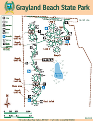
Grayland Beach State Park Map
Map of park with detail of trails and recreation zones
56 miles away
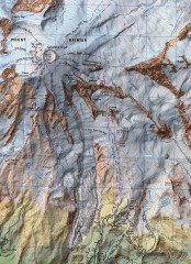
Mt. Rainier Climbing Routes Map
Shows major climbing routes on Mt. Rainier on southwest part of mountain.
56 miles away
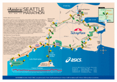
Seattle Marathon Map
Full Map of the Seattle Marathon with run details and location.
57 miles away
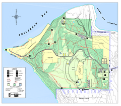
Discovery Park trail map
Trail and facility map of Discovery Park. Discovery Park is a 534 acre natural area park operated...
57 miles away
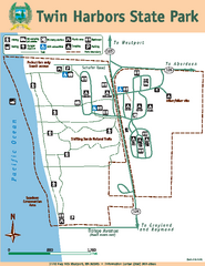
Twin Harbors State Park Map
Map of park with detail of trails and recreation zones
57 miles away
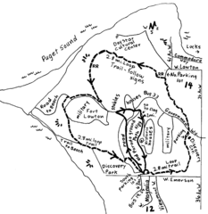
Discovery Park Walking Map Seattle Map
You can walk the Historic Parade Grounds in Fort Lawton (1.5 miles) and/or the 2.8 mile Trail Loop...
57 miles away
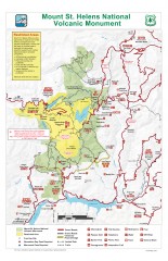
Mt. Saint Helens National Volcanic Monument...
Official recreation map showing all roads, trails, campgrounds, and other facilities. Also shows...
57 miles away
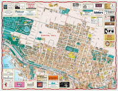
Capitol Hill tourist map
Tourist map of Capitol Hill in Seattle, Washington. Shows all businesses.
57 miles away
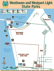
Westhaven/Westport Light State Parks Map
Map of park with detail of trails and recreation zones
57 miles away
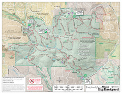
Cougar Mountain Park Trail Map
Trail map of Cougar Mountain Regional Wildland Park, part of the "Issaquah Alps"
57 miles away
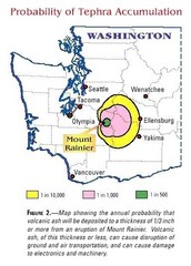
Mount Rainier Probability of Tephra (Ash...
57 miles away
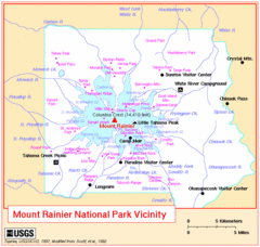
Mount Rainier National Park Vicinity Map
57 miles away
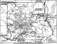
1928 Mount Rainier National Park Map
Guide to Mount Rainier National Park in 1938
57 miles away
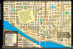
Fremont Walking Tour Map
Walking tour map of Fremont Washington in city of Seattle. Center of the known universe. Shows...
58 miles away
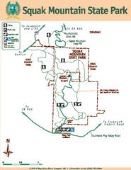
Squak Mountain State Park Map
Map of park with detail of trails and recreation zones
58 miles away
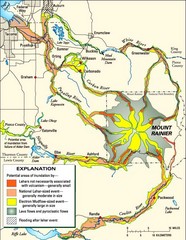
Mount Rainier Potential Lava Flow, Mud Flow and...
Hazard zones for lahars, lava flows, and pyroclastic flows from Mount Rainier. The map shows areas...
58 miles away
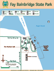
Fay Bainbridge State Park Map
Map of park with detail of trails and recreation zones
58 miles away
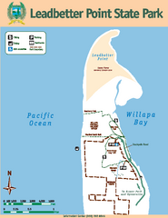
Leadbetter Point State Park Map
Map of park with detail of recreation zones and trails
58 miles away

Washington Park Arboretum Trail Map
Trail map of Washington Park Arboretum in Seattle.
58 miles away
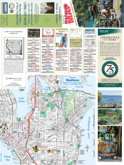
Greater Madison tourist map
Tourist map of Greater Madison, Washington. Shows all businesses.
58 miles away
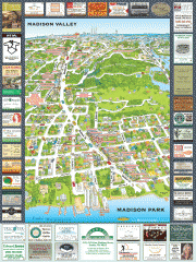
Madison Park tourist map
Tourist map of Madison Park, Washington. Shows all businesses.
58 miles away
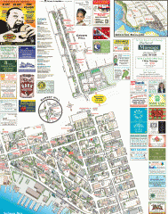
Ballard tourist map
Tourist map of Ballard, Washington. Shows all businesses.
58 miles away
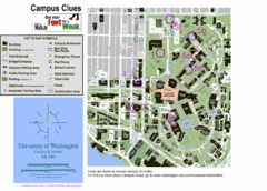
University of Washington map
59 miles away
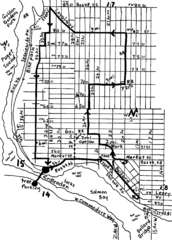
Ballard, Seattle walking map
Start/finish at the Crittendon Locks in Ballard, Seattle. The total map is 6.4 miles, but has...
59 miles away
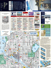
Ballard tourist map
Tourist map of Ballard, Washington and Green Lake Park. Shows all businesses.
59 miles away
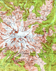
Mount Rainier Topographic Map
Guide to topography and glaciers of Mount Rainier
59 miles away
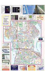
Bellevue tourist map
Tourist map of Bellevue, Washington. Shows all businesses.
59 miles away
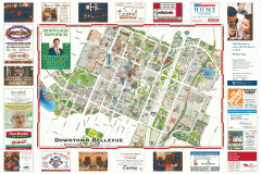
Tourist map of Downtown Bellevue
Tourist map of Downtown Bellevue, Washington. Shows all businesses.
59 miles away
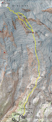
Mount Rainier Climbing Map
Guide to climbing Mount Rainier, Camp Muir Route
59 miles away
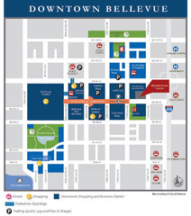
Downtown Bellevue Map
Driving Directions and Downtown Map
59 miles away
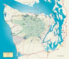
Olympic National Park and Peninsula Map
Guide to the Olympic National Park and surrounding region
59 miles away
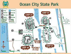
Ocean City State Park Map
Map of park with detail of trails and recreation zones
60 miles away
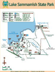
Lake Sammamish State Park Map
Map of island with detail of trails and recreation zones
60 miles away
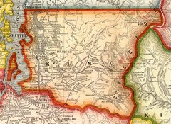
King County Washington, 1909 Map
60 miles away
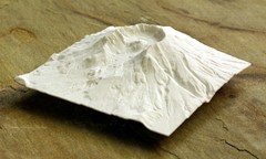
Mt. St. Helens 3D Print Map
This is a 3D-printed map of the cone, crater, and summit of Mt. St. Helens in Washington, USA. It...
60 miles away
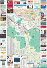
Issaquah tourist map
Issaquah, Washington tourist map. Shows all businesses.
60 miles away
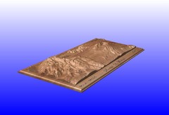
Mount St. Helens carved in wood by carvedmaps.com...
Mount St. Helens carved in wood by carvedmaps.com
60 miles away
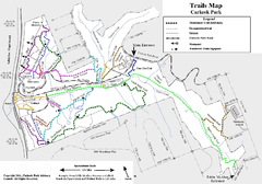
Carkeek Park Trail Map
Trail map of Carkeek Park on the Puget Sound, Seattle, WA. Shows maintained and unmaintained trails.
61 miles away
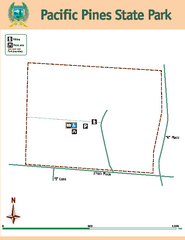
Pacific Pines State Park Map
Map of park with detail of trails and recreation zones
61 miles away

