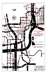
Renton WA Traffic Flow Map
City of Renton, WA traffic flow map
51 miles away
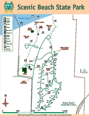
Scenic Beach State Park Map
Map of park with detail of trails and recreation zones
51 miles away
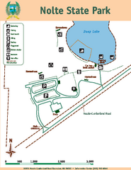
Nolte State Park Map
Map of park with detail of trails and recreation zones
52 miles away
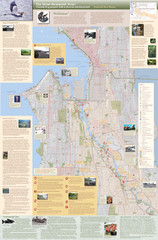
Duwamish River Community Map
This is a printed map, 32" X 40", created for the Duwamish River Cleanup Coalition in...
52 miles away
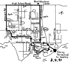
Bainbridge Walking Map
From Seattle Ferry Terminal, take the Bainbridge Ferry to Winslow. The walk is 4 miles with...
53 miles away
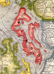
Island County Washington, 1909 Map
53 miles away
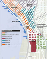
Seattle Neighborhoods Map
Map outlines several neighborhoods in Seattle, Wahsington
53 miles away
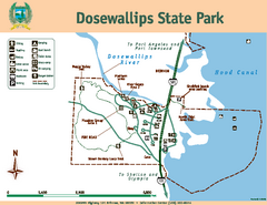
Dosewallips State Park Map
Map of park with detail of trails and recreation zones
53 miles away
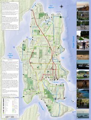
Bainbridge Island Hiking and Biking Map
Shows trails and bike routes on Bainbridge Island, Washington in the Puget Sound. Also shows...
53 miles away
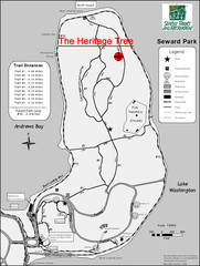
Seward Park Trails Map
Map of the trails in Seward Park, a 300-acre park on a peninsula in the south Seattle, WA area.
54 miles away
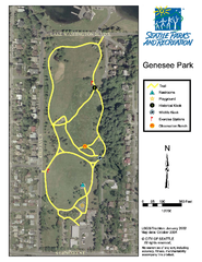
Genesee Park Trail Map
Trail map of Genesee Park in Mt Baker, Seattle, WA
54 miles away
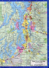
Seattle, Washington City Map
55 miles away

Mt. Rainier 3D Print Map
This is a 3D-printed map of the cone of Mt. Rainier in Washington, USA, including Liberty Cap, many...
55 miles away
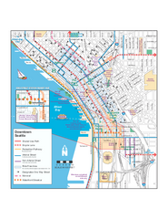
Downtown Seattle Bikeways Map
Map of bike paths, bike lanes, public transportation and points of interest in Seattle, Washington.
55 miles away
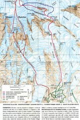
Mount Rainier Topo Map
Map of Mount Rainier Ascent. We ascended the "Muir Snowfield" and then went up the "...
55 miles away
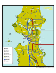
Neighborhoods of Seattle, Washington Map
Tourist map of Seattle, Washington, showing neighborhoods, parks, and scenic drives.
55 miles away
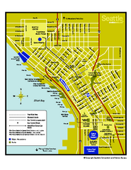
Downtown Seattle, Washington Map
Tourist map of downtown Seattle, Washington. Shows locations of Space Needle, Experience Music...
55 miles away
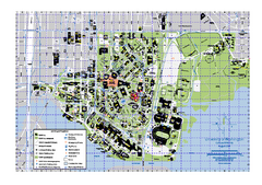
University of Washington - Seattle Campus Map
Campus Map of the University of Washington - Seattle Campus. All buildings shown.
55 miles away
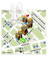
Municipal Court of Seattle Location Map
55 miles away

Seattle Shopping map for Lucky Magazine
Illustrated map of Seattle shopping locations illustrated by MapsIllustrated for Lucky Magazine(NYC)
55 miles away
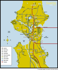
Seattle, Washington City Map
55 miles away
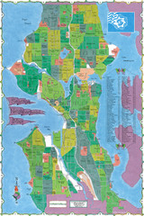
Seattle Neighborhood Map
55 miles away
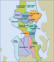
Seattle Neighborhood Map
55 miles away
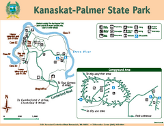
Kanaskat-Palmer State Park Map
Map of park with detail of trails and recreation zones
55 miles away
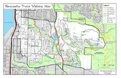
Newcastle Trails Trail Map
Trail map of existing and proposed trails in Newcastle, WA
55 miles away
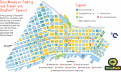
Seattle City Parks Map
55 miles away
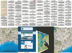
Downtown Seattle biotech map
Downtown Seattle map of biotechnology companies.
55 miles away
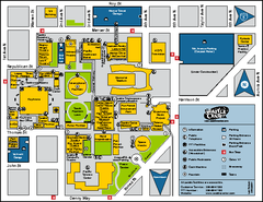
Seattle City Center, Washington Map
Map of points of interest in Seattle Center. KeyArena, the Space Needle, theaters, parking and...
56 miles away
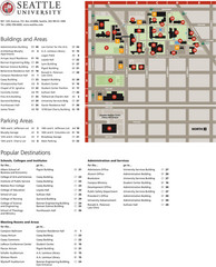
Seattle University Map
Campus Map
56 miles away
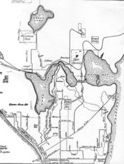
Seattle Historic Bike Paths Map
Historic bike paths in Seattle
56 miles away
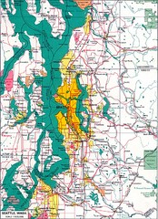
Seattle Region Map
56 miles away
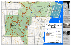
Frink Park and Leschi Park Map
56 miles away
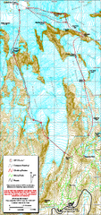
Mount Rainier Paradise Climbing Route map
Map shows all hiking and climbing routes originating from Paradise at 5,400 ft.
56 miles away

Magnolia tourist map
Tourist map of Magnolia, Washington. Shows all businesses.
56 miles away

3-D Panoramic Map of the Puget Sound
A 3D panoramic map of a view from a private residence over Puget Sound toward the Olympic mountains.
56 miles away
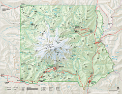
Mount Rainier National Park map
Official NPS map of Mt. Rainier National Park. Shows the entire park and surroundings
56 miles away
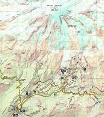
Pinnacle Saddle Trail Map
56 miles away
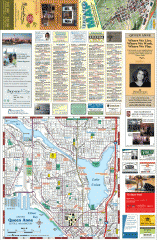
Queen Anne tourist map
Tourist map of Queen Anne, Washington. shows all businesses.
56 miles away
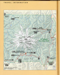
Mount Rainier National Park Map
Guide to the Mount Rainier National Park
56 miles away

