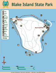
Blake Island State Park Map
Map of park with detail of trails and recreation zones
145 miles away

Schweitzer Mountain Trail Map
Map of ski trails
145 miles away
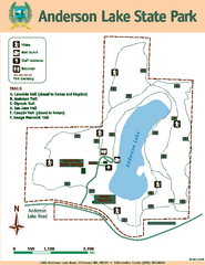
Anderson Lake State Park Map
Map of park and trails
145 miles away
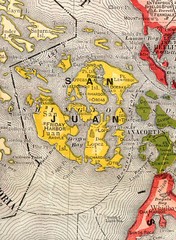
San Juan County Washington, 1909 Map
145 miles away
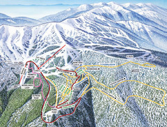
Schweitzer Mountain Trail Map
Ski trail map of Schweitzer Mountin
145 miles away
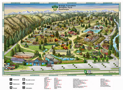
British Columbia Wildlife Park Visitor Map
Wildlife Visitor Park Map. Full color with illustrations.
146 miles away
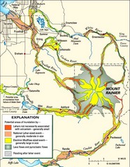
Mount Rainier Potential Lava Flow, Mud Flow and...
Hazard zones for lahars, lava flows, and pyroclastic flows from Mount Rainier. The map shows areas...
146 miles away
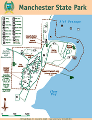
Manchester State Park Map
Map of park with detail of trails and recreation zones
146 miles away
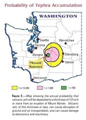
Mount Rainier Probability of Tephra (Ash...
146 miles away

Orcas tourist map
Tourist map of Orcas, Washington. Shows all businesses.
146 miles away
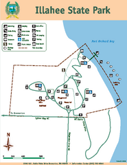
Illahee State Park Map
Map of park with detail of trails and recreation zones
147 miles away
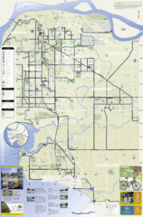
Bicycle Friendly Route Map
147 miles away
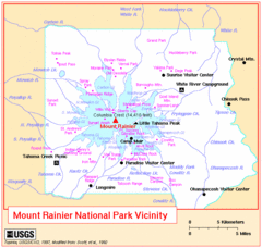
Mount Rainier National Park Vicinity Map
147 miles away
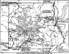
1928 Mount Rainier National Park Map
Guide to Mount Rainier National Park in 1938
148 miles away

Sandpoint City Map
Street map of downtown Sandpoint
148 miles away
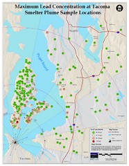
Tacoma Lead Concentration Map
A map of maximum lead concentrations near Tacoma.
148 miles away
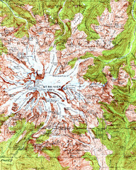
Mount Rainier Topographic Map
Guide to topography and glaciers of Mount Rainier
148 miles away
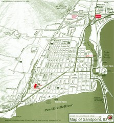
Map of Sandpoint, Idaho
Map of the entire town of Sandpoint including all streets, highways and other information.
148 miles away
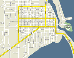
Sandpoint City Beach Map
Downtown Sandpoint Map.
148 miles away
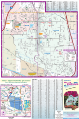
Milton and Edgewood tourist map
Tourist map of Milton and Edgewood, Washington. Shows all businesses.
149 miles away
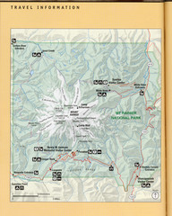
Mount Rainier National Park Map
Guide to the Mount Rainier National Park
149 miles away
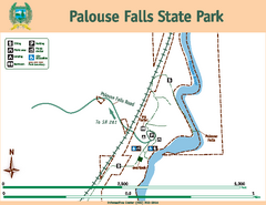
Palouse Falls State Park Map
Map of park with detail of trails and recreation zones
149 miles away
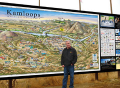
Kamloops tourist info map by Jean-Louis Rheault
Tourist map of Kamloops, British Columbia. Photo of 20 foot sign with the cartographer, Jean-Louis...
149 miles away
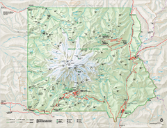
Mount Rainier National Park map
Official NPS map of Mt. Rainier National Park. Shows the entire park and surroundings
149 miles away
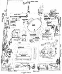
San Juan County Fair Map 2008
Fairgrounds map for the San Juan County Fair, Friday Harbor, Washington
150 miles away
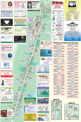
Milton tourist map
Tourist map of Milton, Washington. Shows all businesses.
150 miles away
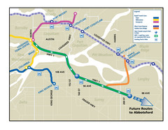
Highway 1 Rapid Bus Service Map
150 miles away
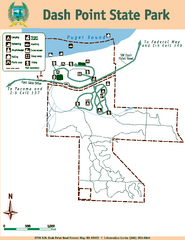
Dash Point State Park Map
Map of park with detail of trails and recreation zones
150 miles away

Mt. Rainier 3D Print Map
This is a 3D-printed map of the cone of Mt. Rainier in Washington, USA, including Liberty Cap, many...
150 miles away
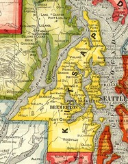
Kitsap County Washington, 1909 Map
150 miles away
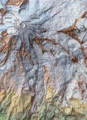
Mt. Rainier Climbing Routes Map
Shows major climbing routes on Mt. Rainier on southwest part of mountain.
151 miles away
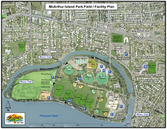
MacArthur Island Park Map
Park map of MacArthur Island Park in the Thompson River in Kamloops, BC. Shows Rivers Trail...
151 miles away
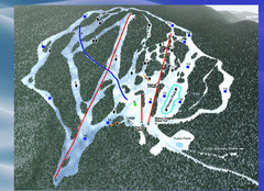
2004–09 Harper Mountain Map
Trail map from Harper Mountain, which provides downhill and nordic skiing. This ski area has its...
151 miles away
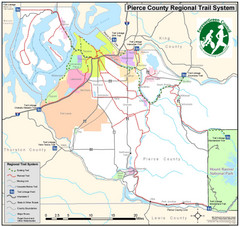
Pierce County Regional Trail Map
County-wide system of trails
151 miles away
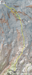
Mount Rainier Climbing Map
Guide to climbing Mount Rainier, Camp Muir Route
151 miles away
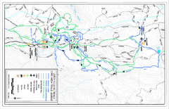
Larch Hills Nordics Core Ski Trail Map
Trail map from Larch Hills Nordics, which provides night and nordic skiing. This ski area has its...
151 miles away
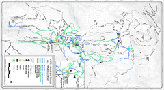
Larch Hills Nordics All Ski Trail Map
Trail map from Larch Hills Nordics, which provides night and nordic skiing. This ski area has its...
151 miles away

San Juan Island tourist map
San Juan Island and Friday Harbor tourist map. Shows all businesses.
152 miles away
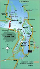
British Columbia, Canada Tourist Map
152 miles away
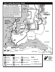
Belcarra Regional Park Trail Map
Trail map of Belcarra Regional Park, BC
152 miles away

