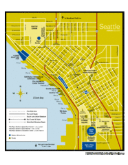
Whidbey Island tourist map
Tourist map of Whidbey Island and Coupeville, Washington. Shows all businesses.
133 miles away

Washington Park Arboretum Trail Map
Trail map of Washington Park Arboretum in Seattle.
133 miles away
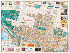
Capitol Hill tourist map
Tourist map of Capitol Hill in Seattle, Washington. Shows all businesses.
134 miles away

Oak Harbor tourist map
Tourist map of Oak Harbor, Washington. Shows all businesses.
134 miles away
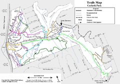
Carkeek Park Trail Map
Trail map of Carkeek Park on the Puget Sound, Seattle, WA. Shows maintained and unmaintained trails.
134 miles away
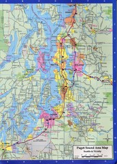
Seattle, Washington City Map
134 miles away
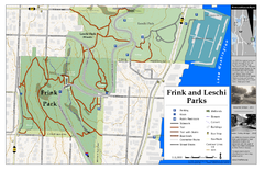
Frink Park and Leschi Park Map
135 miles away
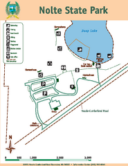
Nolte State Park Map
Map of park with detail of trails and recreation zones
135 miles away
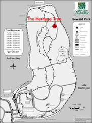
Seward Park Trails Map
Map of the trails in Seward Park, a 300-acre park on a peninsula in the south Seattle, WA area.
135 miles away
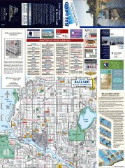
Ballard tourist map
Tourist map of Ballard, Washington and Green Lake Park. Shows all businesses.
135 miles away
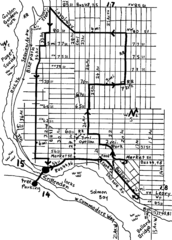
Ballard, Seattle walking map
Start/finish at the Crittendon Locks in Ballard, Seattle. The total map is 6.4 miles, but has...
135 miles away
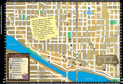
Fremont Walking Tour Map
Walking tour map of Fremont Washington in city of Seattle. Center of the known universe. Shows...
135 miles away
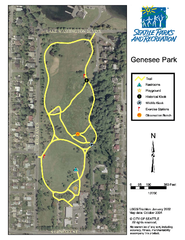
Genesee Park Trail Map
Trail map of Genesee Park in Mt Baker, Seattle, WA
135 miles away
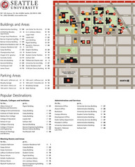
Seattle University Map
Campus Map
136 miles away
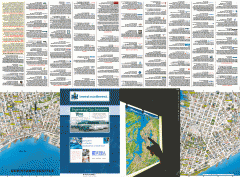
Downtown Seattle biotech map
Downtown Seattle map of biotechnology companies.
136 miles away
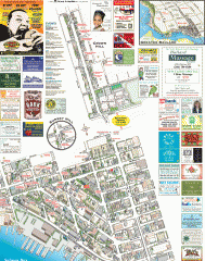
Ballard tourist map
Tourist map of Ballard, Washington. Shows all businesses.
136 miles away
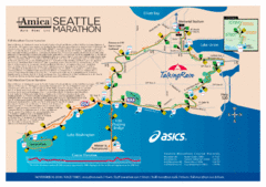
Seattle Marathon Map
Full Map of the Seattle Marathon with run details and location.
136 miles away
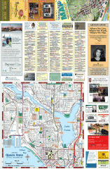
Queen Anne tourist map
Tourist map of Queen Anne, Washington. shows all businesses.
136 miles away
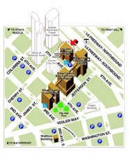
Municipal Court of Seattle Location Map
136 miles away

Seattle Shopping map for Lucky Magazine
Illustrated map of Seattle shopping locations illustrated by MapsIllustrated for Lucky Magazine(NYC)
136 miles away
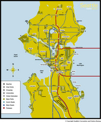
Seattle, Washington City Map
136 miles away
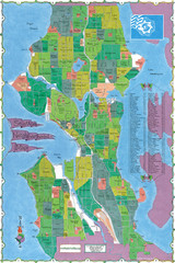
Seattle Neighborhood Map
136 miles away
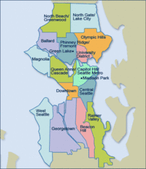
Seattle Neighborhood Map
136 miles away
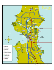
Neighborhoods of Seattle, Washington Map
Tourist map of Seattle, Washington, showing neighborhoods, parks, and scenic drives.
136 miles away
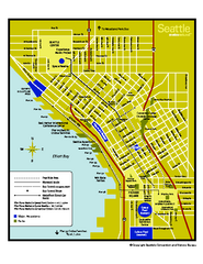
Downtown Seattle, Washington Map
Tourist map of downtown Seattle, Washington. Shows locations of Space Needle, Experience Music...
136 miles away
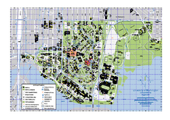
University of Washington - Seattle Campus Map
Campus Map of the University of Washington - Seattle Campus. All buildings shown.
136 miles away
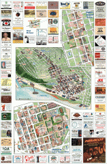
Queen Anne tourist map
Tourist map of Queen Anne, Washington. Shows all businesses.
136 miles away
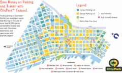
Seattle City Parks Map
136 miles away
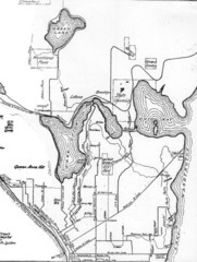
Seattle Historic Bike Paths Map
Historic bike paths in Seattle
136 miles away
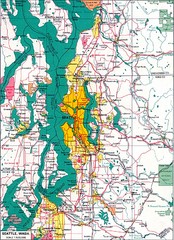
Seattle Region Map
136 miles away
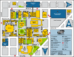
Seattle City Center, Washington Map
Map of points of interest in Seattle Center. KeyArena, the Space Needle, theaters, parking and...
136 miles away
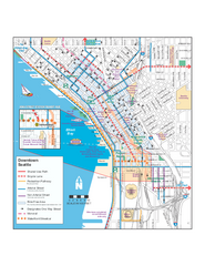
Downtown Seattle Bikeways Map
Map of bike paths, bike lanes, public transportation and points of interest in Seattle, Washington.
136 miles away
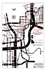
Renton WA Traffic Flow Map
City of Renton, WA traffic flow map
137 miles away
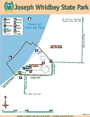
Joseph Whidbey State Park Map
Map of park with detail of trails and recreation zones
137 miles away

Coupeville tourist map
Tourist map of Coupeville, Washington. Shows all businesses.
137 miles away
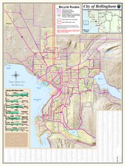
Bellingham, Washington City Map
137 miles away
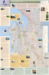
Duwamish River Community Map
This is a printed map, 32" X 40", created for the Duwamish River Cleanup Coalition in...
138 miles away
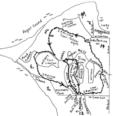
Discovery Park Walking Map Seattle Map
You can walk the Historic Parade Grounds in Fort Lawton (1.5 miles) and/or the 2.8 mile Trail Loop...
138 miles away
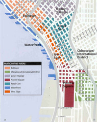
Seattle Neighborhoods Map
Map outlines several neighborhoods in Seattle, Wahsington
138 miles away

