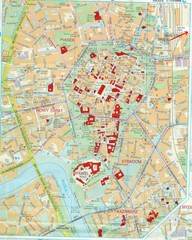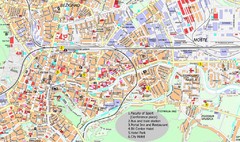
Ljubljana City Map
City map of Ljubljana, Slovenia. Shows some points of interest.
378 miles away
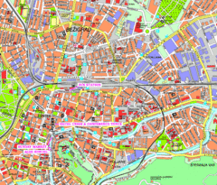
Ljubljana Tourist Map
Tourist map of central Ljubljana, Slovenia.
378 miles away
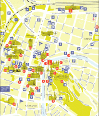
Ljubljana Slovenia Tourist Map
Tourist Map of Ljubljana Slovenia showing sites and roads of the city.
378 miles away
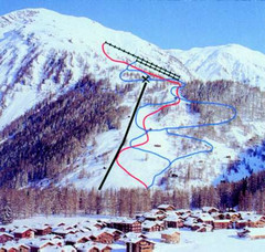
Hungerberg Ski Trail Map
Trail map from Hungerberg, which provides downhill skiing. It has 3 lifts. This ski area has its...
379 miles away
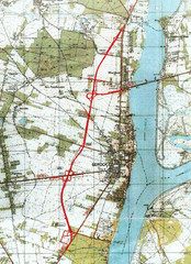
Serock Map
Town map of Serock, Poland. Not very much detail.
380 miles away
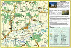
Bartodzieje_Village_Jastrzebia_Poland_streetmap...
Map of Bartodzieje_Village_Jastrzebia_Poland_streetmap.pdf is a street informative map of dimension...
381 miles away
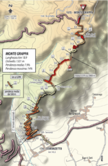
Monte Grappa Giro Stage 14 Cycling Route Map
Cycling route of the climb up Monte Grappa in Stage 14 of the 2010 Giro d'Italia. Averages 8...
381 miles away
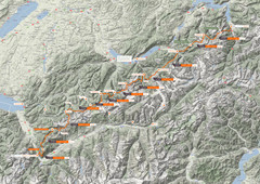
Swiss Alps Trail Map
Around Interlaken, Switzerland.
381 miles away
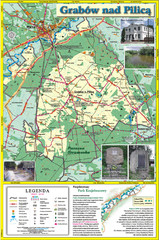
Grabow nad Pilica commune map
Grabow nad Pilica commune map Ed. 2006
382 miles away
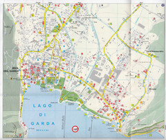
Riva del Garda Map
383 miles away
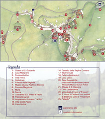
Asolo Town Map
Tourist map of Asolo, Italy. Shows points of interest, panoramic site, and touristic information...
384 miles away
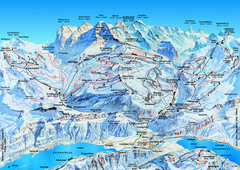
Jungfrauregion (Mürren, Wengen, Grindelwald) Ski...
Trail map from Jungfrauregion (Mürren, Wengen, Grindelwald), which provides downhill skiing.
384 miles away
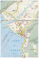
Nago-Torbole Map
384 miles away
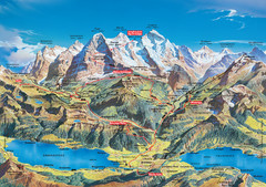
Jungfrau Grindelwald region summer map
This map is a summer panorama looking south from Interlaken toward the Jungfrau, Eiger, and the...
384 miles away
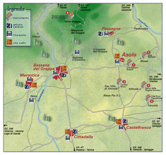
Asolo Italy Area Map
Tourist map of Asolo, Italy surroundings. Shows monuments, art centers, museums, and city walls.
384 miles away
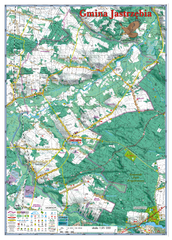
Jastrzebia commune 3D Map
Jastrzebia commune - 3D map Ed. 2010 Projection UTM/WGS84 Scale 1:25 000 Mede with extensive use...
384 miles away
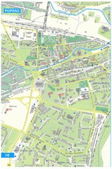
Poprad Tourist Map
Tourist map of Poprad, Slovakia. Shows points of interest.
385 miles away
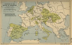
Dominions in the House of Habsburg - 1547...
385 miles away
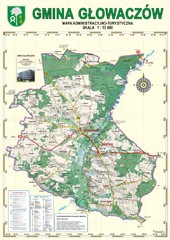
Gmina Glowaczow - Mazovia PL Map
That is a Głowaczów commune / Mazovia PL wall map. Created with use of GlobalMapper...
386 miles away
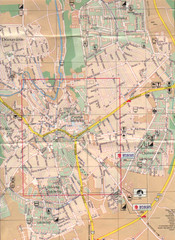
Veszprem City Map
City map of Veszprem, Hungary. Scanned.
386 miles away
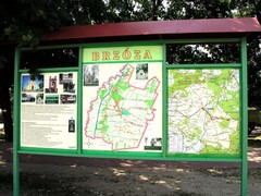
Brzoza_Glowaczow_Poland.jpg Map
Street map of Brzoza_Glowaczow_Poland.jpg - a "heavy-duty" street map after 6 years on...
387 miles away
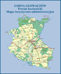
GLOWACZOW commune, PL Map
GLOWACZOW commune map, PL Ed. 2010 All data verified
387 miles away
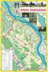
Magnuszew Commyne - Touristic map
Magnuszew commune - touristic, folded map.
388 miles away
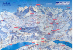
Jungfrau Map
388 miles away

RadomkaRiver-kayaking Map
Radomka River - kayaking map Checked on field and verified map of Radomka River from Brzoza to...
388 miles away
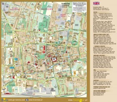
Tarnow Tourist Map
Tourist map of the center of Tarnow, Poland
388 miles away
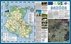
Brzoza_Glowaczow_Poland - 2000 x 1250.PNG Map
Map of Brzoza_Glowaczow_Poland - 2000 x 1250.PNG is special project dedicated to school in Brzoza...
389 miles away
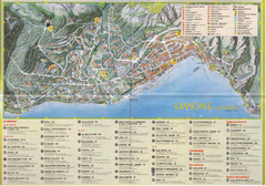
Limone sul garda Map
389 miles away
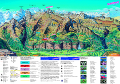
Schilthorn Summer Trail Map
Summer hiking map of Mürren-Schilthorn area. Shows lifts and trails.
389 miles away
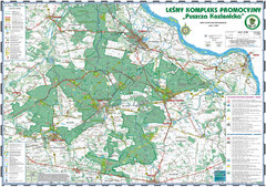
PuszczaKozienicka tourist map
LKP - Lesny Kompleks Promocyjny - PuszczaKozienicka - tourist map Ed. 2010 Projection: UTM/WGS84...
392 miles away
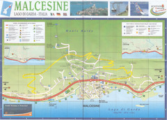
Malcesine Map
392 miles away
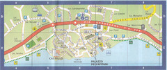
Malcesine Map
392 miles away
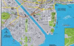
Ascona City Tourist Map
Landmarks in Ascona, Switzerland
394 miles away
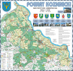
Kozienice_County_wall_map Map
Kozienice County big size wall map Covers all 7 communes: Kozienice, Garbatka-Letnisko, Grabow nad...
394 miles away
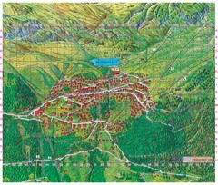
Bettmeralp Summer Map
Summer tourist map of town of Bettmeralp, Switzerland. With reference grid.
394 miles away
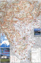
Vicenza Tourist Map
Tourist map of region around Vicenza, Italy. Shows points of interest. In Italian. Scanned.
395 miles away

bibione Map
395 miles away
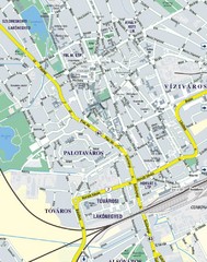
Székesfehérvár City Map
City Map of Székesfehérvár
395 miles away

