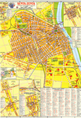
Zenta Map
226 miles away
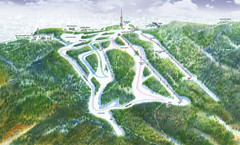
Medvednica Ski Trail Map
Trail map from Medvednica.
228 miles away
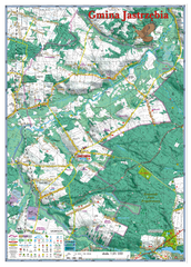
Jastrzebia commune 3D Map
Jastrzebia commune - 3D map Ed. 2010 Projection UTM/WGS84 Scale 1:25 000 Mede with extensive use...
230 miles away
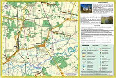
Bartodzieje_Village_Jastrzebia_Poland_streetmap...
Map of Bartodzieje_Village_Jastrzebia_Poland_streetmap.pdf is a street informative map of dimension...
230 miles away
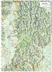
Villages and Sutla River Valley Bike Route Map
Bike routes and trails through the villages to the Sutla River Valley in Croatia. Note: The map...
230 miles away
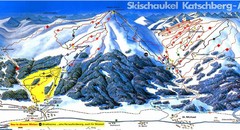
Lungau Ski Trail Map
Trail map from Lungau.
230 miles away

Bács-Bodrog vármegye Map
231 miles away
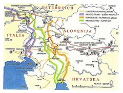
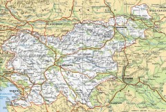
Slovenia Tour Map
231 miles away
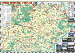
Zwolen_county_folded_map_POLAND Map
Zwolen county, paper folded map Scale 1: 70 000 Projection UTM/WGS84, GPS compatibile verified...
232 miles away
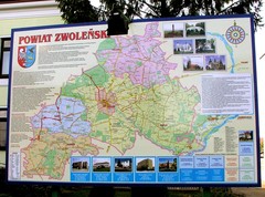
Zwolen county street map
Zwolen county - street map Big size 200 x 300 cm waterproof map
232 miles away
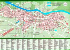
Osijek City Map
City map of Osijek, Croatia. With street index.
233 miles away
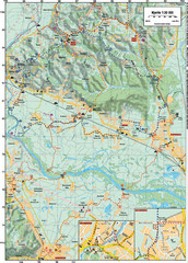
Sulta and Sava Croatia Cycling Route Map
the trails on this map are through picturesque hills to the confluence of the Sutla and Sava Rivers...
233 miles away
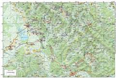
Bike Route starting in Ivanić-Grad Map
Bike route and trails through the cradle of Croatia’s oil drilling industry and the wondrous...
234 miles away
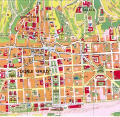
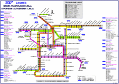
Zagreb Tourist Map
Tourist map of central Zagreb, Croatia. Shows major buildings.
234 miles away
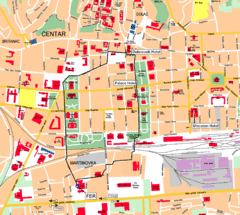
Zagreb Center Map
234 miles away
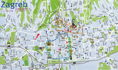
Zagreb Croatia Tourist Map
Zagreb City Centre Tourist map showing tourist attractions, hotels, tourist information and city...
234 miles away
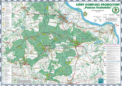
PuszczaKozienicka tourist map
LKP - Lesny Kompleks Promocyjny - PuszczaKozienicka - tourist map Ed. 2010 Projection: UTM/WGS84...
234 miles away
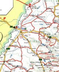
Bihor Map
234 miles away
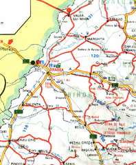
Bihor Romania Road Map
Map of Bihor, Romania showing main roads and roadside services.
234 miles away
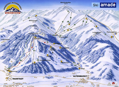
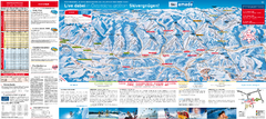
Ski Amade Map
235 miles away
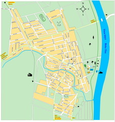
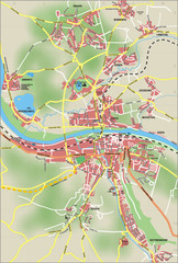
Ada város Map
236 miles away
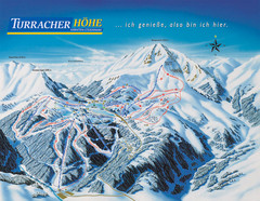
Turracher Höhe Ski Trail Map
Trail map from Turracher Höhe.
236 miles away
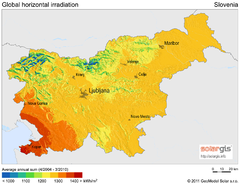
Solar Radiation Map of Slovenia
Solar Radiation Map Based on high resolution Solar Radiation Database: SolarGIS. On the Solar Map...
237 miles away
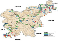
Slovenia Highways Map
237 miles away
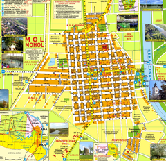
Mohol Map
237 miles away
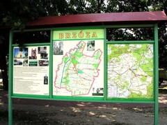
Brzoza_Glowaczow_Poland.jpg Map
Street map of Brzoza_Glowaczow_Poland.jpg - a "heavy-duty" street map after 6 years on...
238 miles away
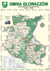
Gmina Glowaczow - Mazovia PL Map
That is a Głowaczów commune / Mazovia PL wall map. Created with use of GlobalMapper...
238 miles away
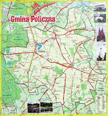
Policzna Commune Street Map
POLICZNA Commune, street map Ed. 2008 Size 2000 x 1250 mm Waterproof print-out verified for...
238 miles away
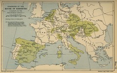
Dominions in the House of Habsburg - 1547...
238 miles away
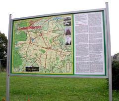
Policzna_Zwolen_Poland.jpg Map
Map of Policzna_Zwolen_Poland.jpg is another "all-proof" street map. 5 years on site...
238 miles away
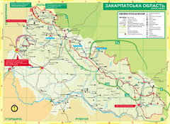
Transcarpathia Hiking Trail Map
Map of the Transcarpathia Hiking Trail (THT) in Ukraine. Trail runs through the territory of...
239 miles away

RadomkaRiver-kayaking Map
Radomka River - kayaking map Checked on field and verified map of Radomka River from Brzoza to...
239 miles away
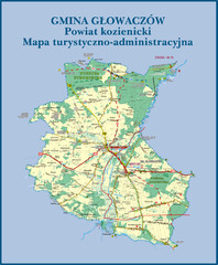
GLOWACZOW commune, PL Map
GLOWACZOW commune map, PL Ed. 2010 All data verified
239 miles away
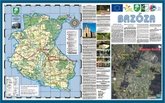
Brzoza_Glowaczow_Poland - 2000 x 1250.PNG Map
Map of Brzoza_Glowaczow_Poland - 2000 x 1250.PNG is special project dedicated to school in Brzoza...
240 miles away
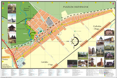
Garbatka_Letnisko_Poland.jpg Map
Map of Garbatka_Letnisko_Poland.jpg is a "city-village" plan. I do love to enter photos...
240 miles away
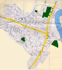
Péterréve Map
240 miles away

