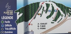
Centre de Plein Air Levis Ski Trail Map
Trail map from Centre de Plein Air Levis.
267 miles away
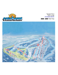
Catamount Ski Area Ski Trail Map
Trail map from Catamount Ski Area.
268 miles away
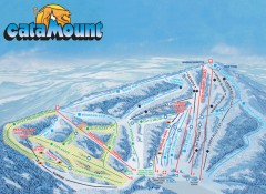
Catamount Ski Trail Map
Official ski trail map of Catamount ski area from the 2006-2007 season.
268 miles away

Poets Walk Trail Map
Guide to Poet's Walk and Hudson River Overlook
268 miles away
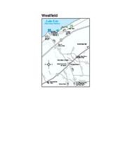
Westfield Map
Tourist map of Westfield, New York, and surrounding area. Shows shops, museums, boat ramps and...
268 miles away
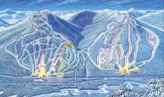
Attitash Bear Peak Ski Trail Map
Official ski trail map of Attitash and Bear Peak ski area from the 2006-2007 season.
268 miles away
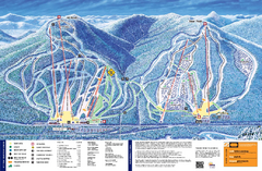
Attitash Ski Trail Map
Trail map from Attitash, which provides downhill skiing.
268 miles away
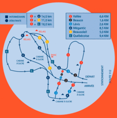
Club de ski de Beauce Nordic Ski Trail Map
Trail map from Club de ski de Beauce, which provides downhill and nordic skiing. This ski area has...
269 miles away

Club de ski de Beauce Ski Trail Map
Trail map from Club de ski de Beauce, which provides downhill and nordic skiing. This ski area has...
269 miles away
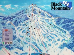
Black Mountain Ski Trail Map
Ski trail map of Black Mountain ski area
269 miles away
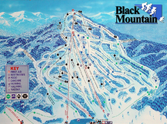
Black Mountain Ski Trail Map
Trail map from Black Mountain.
269 miles away
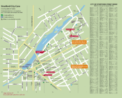
Stratford Tourist Map
Tourist map of center of Stratford, Ontario. Has street index and shows points of interest. Note...
269 miles away
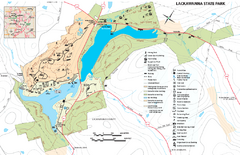
Lackawanna State Park Map
Detailed map of Lackawanna State Park in Pennsylvania.
270 miles away
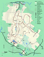
Beartown State Park Winter Map
Winter use map of Beartown State Park in Massachusetts
270 miles away
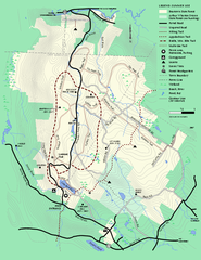
Beartown State Park Summer Map
Summer Map of Beartown State Park in Massachusetts.
270 miles away
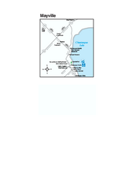
Downtown Mayville Map
Tourist map of Downtown Mayville, New York. Shows museums, restaurants, shops, government buildings...
270 miles away
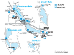
Marinas and Boat Ramps on Chautauqua and...
Recreation map of Chautauqua, Findley, Cassadaga, and Bear Lakes, New York. Shows marinas and boat...
270 miles away
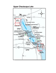
Upper Chautauqua Lake Map
Tourist map of upper Chautauqua Lake, New York. Shops, lodging, and other points of interest in the...
271 miles away
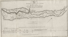
Wyoming and Lackawanna Valleys Map
Railbed from the coal mine at Carbondale to the canal on the Lackawaxen River. Historical map.
271 miles away
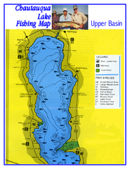
North Chautauqua Lake Fishing Map
Fishing map of northern Chautauqua Lake, New York. Shows marinas, boat ramps, state parks, and...
271 miles away
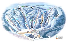
Butternut Ski Area Ski Trail Map
Trail map from Butternut Ski Area.
271 miles away
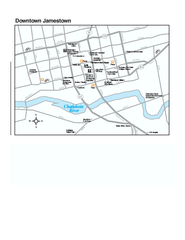
Downtown Jamestown Map
Tourist map of Downtown Jamestown, New York. Shows shops, parking, cinemas, hotels, and government...
272 miles away
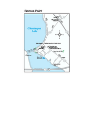
Bemus Point Map
Tourist map of Bemus Point, NY. Shows lodging, parks, shops, restaurants, and other points of...
273 miles away
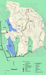
DAR State Forest winter map
Winter use map of the Daughters of the American Revolution State Forest.
273 miles away
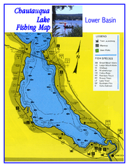
Southern Chautauqua Lake Fishing Map
Fishing map of southern Chautauqua Lake, New York. Shows marinas, boat ramps, state parks and fish...
273 miles away
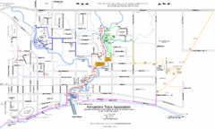
Kincardine Street & Trail Map
273 miles away
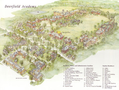
Deerfield Academy Campus Map
Shows buildings and facilities of Deerfield Academy. Scanned.
273 miles away
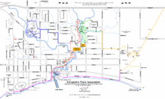
Kincardine Trail Map
Trail and street map of Kincardine, Ontario.
274 miles away
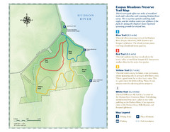
Esopus Meadows Preserve Trail Map
Trail map of Esopus Meadows Preserve park on the Hudson River.
274 miles away
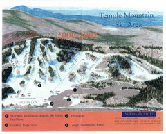
Temple Mountain Last year open—Credited to...
Trail map from Temple Mountain. This ski area opened in 1937.
274 miles away
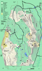
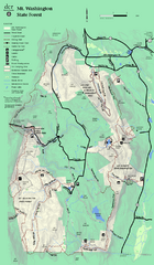
Mt. Washington State Forest trail map
Trail map of Mt. Washington State Forest
275 miles away
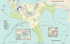
Worlds End State Park map
Detailed recreation map for Worlds End State Park in Pennsylvania
275 miles away
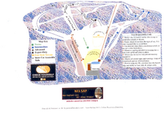
Arrowhead Arrowhead Ski Trail Map
Trail map from Arrowhead.
275 miles away
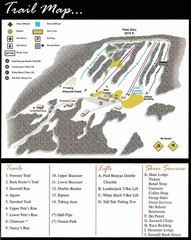
Ski Sawmill Ski Trail Map
Trail map from Ski Sawmill.
275 miles away
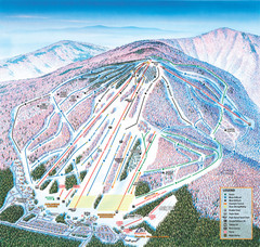
Cranmore Mountain Resort Ski Trail Map
Trail map from Cranmore Mountain Resort.
275 miles away
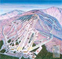
Cranmore Ski Trail Map
Official ski trail map of Cranmore Mountain ski area from the 2007-2008 season.
275 miles away
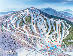
Pats Peak Ski Map
ski trail map of pats peak ski area
275 miles away

Manitoulin Island Map
The largest Island on a lake
276 miles away
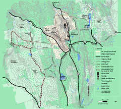
Mt. Grace State Forest trail map
Trail map of Mt. Grace State Forest near Warwick, Massachusetts.
276 miles away

