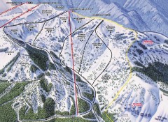
Crystal Mountain Ski Trail Map - Northway Area
Official ski trail map of the Northway area of Crystal Mountain ski area from the 2007-2008 season...
208 miles away
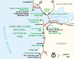
Lewis & Clark National Historic Trail...
Official NPS map of Lewis & Clark National Historic Trail in Oregon-Washington. Shows all areas...
208 miles away
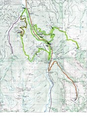
White River 50 Course Map
White River 50 Mile Trail Run
208 miles away
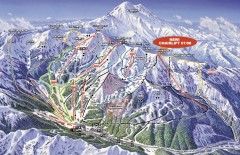
Crystal Mountain Ski Trail Map
Official ski trail map of Crystal Mountain ski area from the 2007-2008 season. 2600 acres of...
208 miles away
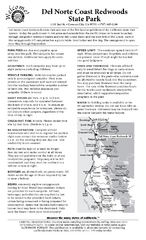
Del Norte Coast Redwoods State Park Campground Map
Map of park with detail of trails and recreation zones
209 miles away
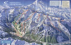
Crystal Mountain Resort Ski Trail Map
Trail map from Crystal Mountain Resort, which provides downhill skiing. It has 10 lifts servicing...
209 miles away
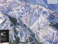
Crystal Mountain Resort Northway Inset Ski Trail...
Trail map from Crystal Mountain Resort, which provides downhill skiing. It has 10 lifts servicing...
209 miles away
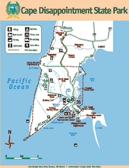
Cape Dissapointment State Park Map
Map of park with detail of trails and recreation zones
210 miles away
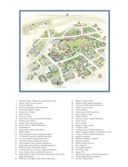
Whitman College Campus Map
Campus map of Whitman College in Walla Walla, WA
210 miles away
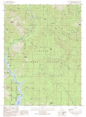
Bollibokka Mountain Quad - Shasta Lake Map
Topographic map, Bollibokka Mountain Quadrangle, California 1990. Area of map includes a portion of...
214 miles away

Pierce County Washington Map, 1909 Map
214 miles away
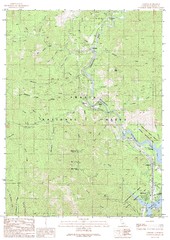
Lamoine Quad - Shasta Lake Map
Topographic map, Lamoine Quadrangle, California 1990. Area of map includes a portion of Shasta Lake...
215 miles away
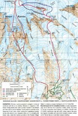
Mount Rainier Topo Map
Map of Mount Rainier Ascent. We ascended the "Muir Snowfield" and then went up the "...
215 miles away
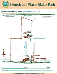
Olmstead Place State Park Map
Map of park with detail of trails and recreation zones
216 miles away
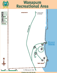
Wanapum Recreational Area Map
Map of park with detail of trails and recreation zones
217 miles away
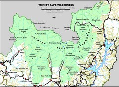
Trinity Alps Wilderness Map
Overview map of the Trinity Alps Wilderness near Weaverville, CA
217 miles away
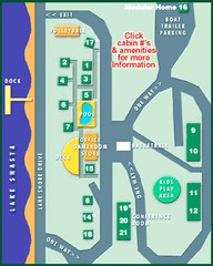
Tsasdi Resort - Shasta Lake Map
Map of the grounds of Tsasdi Resort, lakehead, CA.
218 miles away
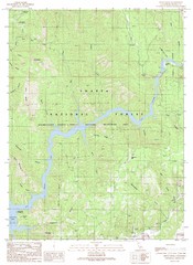
Devils Rock Quad - Shasta Lake Map
Topographic map, Devils Rock Quadrangle, California 1990. Area of map includes a portion of Shasta...
218 miles away
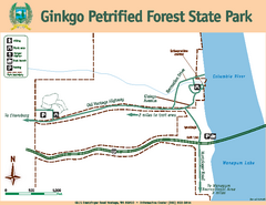
Ginkgo Petrified Forest State Park Map
Map of park with detail of trails and recreation zones
219 miles away
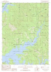
Minnesota Mountain Quad - Shasta Lake Map
Topographic map, Minnesota Mountain Quadrangle, California 1990. Area of map includes a portion of...
220 miles away
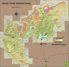
Shasta Trinity National Forest Elevation Map
Shaded relief map of Shasta-Trinity National Forest in northern California
220 miles away
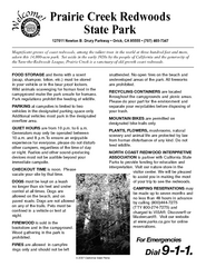
Prairie Creek Redwoods State Park Campground Map
Map of campground region of park with detail of trails and recreation zones
220 miles away
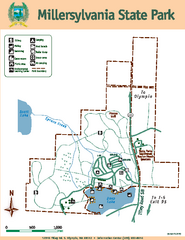
Millersylvania State Park Map
Map of park with detail of trails and recreation zones
221 miles away
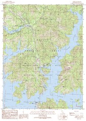
O'Brien Quad - Shasta Lake Map
Topographic map, O'Brien Quadrangle, California 1990. Area of map includes a portion of Shasta...
221 miles away
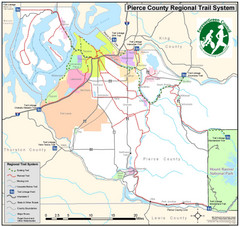
Pierce County Regional Trail Map
County-wide system of trails
221 miles away
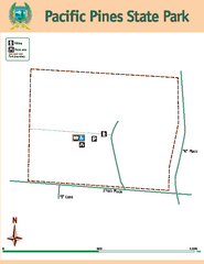
Pacific Pines State Park Map
Map of park with detail of trails and recreation zones
222 miles away
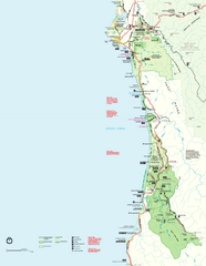
Redwood National Park Map
Official NPS map of Redwood National Park, California. Also shows Jedediah Smith Redwoods State...
223 miles away
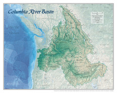
Columbia River Basin Map
224 miles away
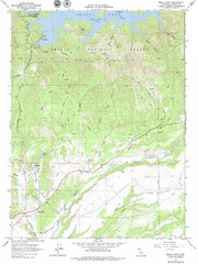
Bella Vista Quad - Shasta Lake Map
Topographic map, Bella Vista Quadrangle, California 1976. Area of map includes a portion of Shasta...
224 miles away
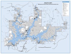
Shasta Unit - Whiskeytown-Shasta-Trinity National...
Map of Shasta Lake, California, showing roads, campgrounds, marinas and resorts, hiking and biking...
224 miles away
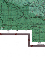
Klamath National Forest Map
Visitor Map of Klamath, eastern part of the forest, includes all roads, camp grounds, creeks, and...
224 miles away
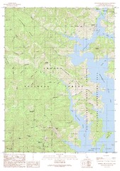
Bohemotash Mountain Quad - Shasta Lake Map
Topographic map, Bohemotash Mountain Quadrangle, California 1990. Area of map includes a portion of...
225 miles away
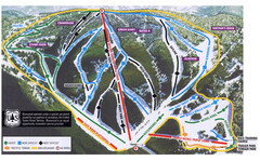
Bluewood Ski Trail Map
227 miles away
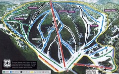
Bluewood Ski Trail Map
Trail map from Bluewood, which provides downhill, nordic, and terrain park skiing. It has 3 lifts...
227 miles away
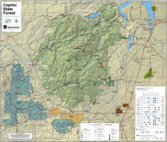
Capitol State Forest Map
Shows all trails in Capitol State Forest and surrounding area, including Lower Chehalis State...
227 miles away
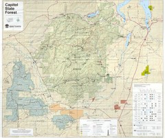
Capitol State Forest Map
227 miles away
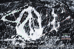
Ferguson Ridge Ski Trail Map
Trail map from Ferguson Ridge.
228 miles away
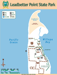
Leadbetter Point State Park Map
Map of park with detail of recreation zones and trails
228 miles away
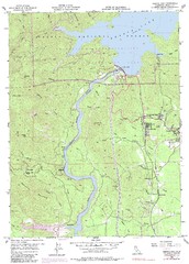
Shasta Dam Quad - Shasta Lake Map
Topographic map, Shasta Dam Quadrangle, California 1969. Area of map includes a portion of Shasta...
228 miles away
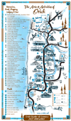
Orick Redwood National Park Map
228 miles away

