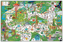
Six Flags Magic Mountain Theme Park Map
Official park map of Six Flags Magic Mountain, California.
120 miles away
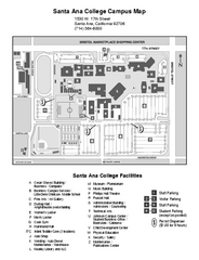
Santa Ana College Campus Map
Santa Ana College Campus Map. All buildings shown.
120 miles away
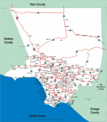
Los Angeles County Highway Map
Map of Los Angeles County highways and freeways.
120 miles away
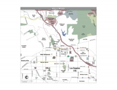
Hollywood, California Map
Tourist map of Hollywood, California. Museums, parks, visitor centers and media centers are shown...
120 miles away
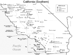
Southern California Airports Map
120 miles away
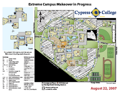
Cypress College Campus Map
Cypress College Campus Map. All buildings shown.
121 miles away
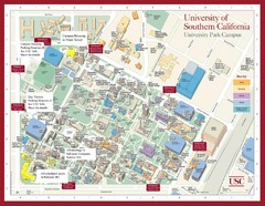
USC Campus Map
121 miles away
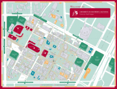
University of Southern California Campus Map
Campus map of the University Park Campus of University of Southern California (USC).
121 miles away
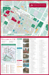
University of Southern California Map
USC campus map
121 miles away
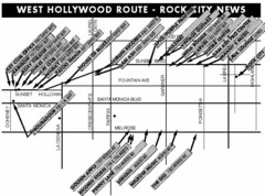
West Hollywood - Rock City News Map
Nightclubs, record stores, tattoo shops, etc.
121 miles away
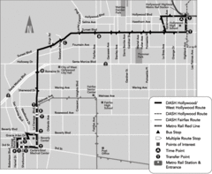
West Hollywood Area DASH Bus Routes Map
121 miles away
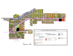
West Hollywood Zoning Map 10/08/09
121 miles away
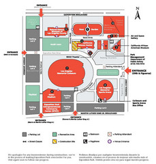
Exposotion Park Map
121 miles away
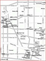
West Hollywood Art Gallery map
Art Gallery map of West Hollywood in Los Angeles
122 miles away

Lower Kern River Map
This portion of the Kern River extends from the Lower Richbar picnic area to Hart Park. Although...
122 miles away
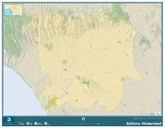
Ballona Wetlands Map
The Ballona Creek watershed, approximately 130 square miles, is the largest watershed draining into...
122 miles away

General Thomas F. Riley Wilderness Park Map
123 miles away

Lake Ming Area Map
Lake Ming is located 10 miles northeast of Bakersfield, off of Hwy. 178 along Alfred Harrell Hwy...
123 miles away
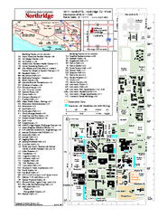
California State University at Northridge Map
Campus Map of the California State University at Northridge. All buildings shown.
123 miles away
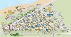
Beverly Hills, California Map
Tourist map of Beverly Hills, California. Shopping, restaurants, lodging and points of interest are...
123 miles away
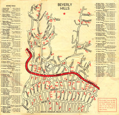
Beverly Hills stars homes map
124 miles away
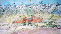
Lone Pine Map
Panorama tourist map of town of Lone Pine, California with surrounding area including the Alabama...
124 miles away
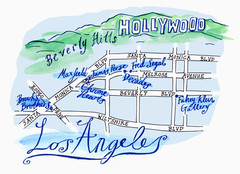
Los Angeles - hand drawn map
illustrated hand-drawn map produced for British airways - First Life magazine.
124 miles away
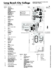
Long Beach City College - Liberal Arts Campus Map
Long Beach City College Liberal Arts Campus Map. All buildings shown.
125 miles away
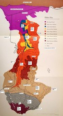
Habitat/Elevation Map of the Sant Rosa Mountains
Deep Canyon, with detailed descriptions of the major plant communities as they change with...
125 miles away

South Los Angeles Tourist Map
125 miles away
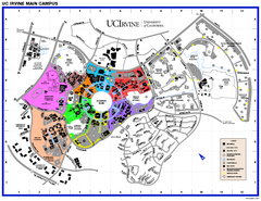
University of California at Irvine Map
University of California at Irvine Campus Map. All areas shown.
125 miles away
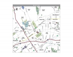
Westside Los Angeles, California Map
Tourist map of the Westside area of Los Angeles, California. Museums, parks, the UCLA campus, and...
125 miles away
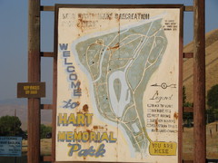
Hart Memorial Park Map
126 miles away

Ronald Reagan ULCA Medical Center Map
Pocket Map to the medical center campus
126 miles away

Ronald Reagan ULCA Medical Center Building Map
Pocket map to the medical center campus
126 miles away
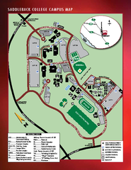
Saddleback College Map
126 miles away
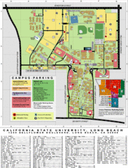
CSU Long Beach Campus Map
126 miles away
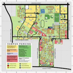
California State University Long Beach Map
Parking and Visitor Map of CSU Long Beach. Shows locations of all buildings, streets, and detailed...
126 miles away
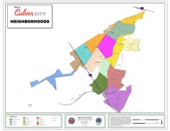
Culver City Neighborhood Map
Map shows official neighborhood zones of Culver City, California
126 miles away
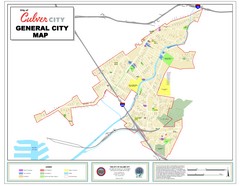
Culver City Map
General city map of Culver City, California. Shows the city boundary, schools, parks and other...
126 miles away
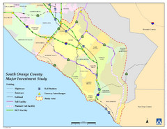
Orange County Map
126 miles away

Long Beach, California City Map
127 miles away
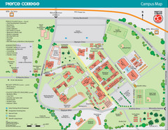
Pierce College Campus Map
Pierce College Campus Map. Located in Woodland Hills, California. Shows all areas.
127 miles away
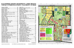
California State University at Long Beach Map
Campus Map of California State University at Long Beach. All buildings shown.
128 miles away

