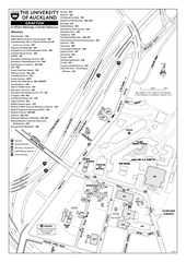
University of Auckland - Grafton Campus Map
Map of Grafton Campus of University of Auckland.
306 miles away
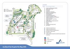
Auckland City Hospital Site Map 2005
306 miles away
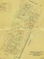
Symonds Street Cemetery - Jewish, Prebyterian and...
The Old Symonds Street Cemetery. This is the Jewish, Presbyterian and Catholic section.
306 miles away
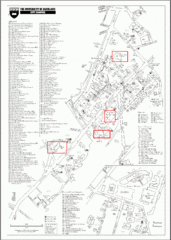
University of Auckland Campus Map
City campus map of University of Auckland, New Zealand
307 miles away
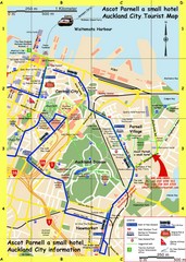
Parnell, Auckland Tourist Map
Tourist & Visitor Map showing tourist attractions, hotels, suggested walks and bus routes.
307 miles away
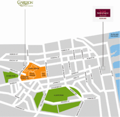
Central Auckland Map
307 miles away
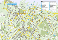
Auckland City Central Map
Map of Auckland, Australia, city center with hotel and tourist locations.
307 miles away
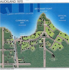
Auckland in 1870 Map
Downtown Auckland (New Zealand) as in 1870
307 miles away
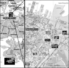
Auckland Tourist Map
The city of Auckland, New Zealand
307 miles away
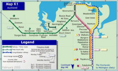
Auckland Rail Map
Rail map of Auckland's train system
307 miles away
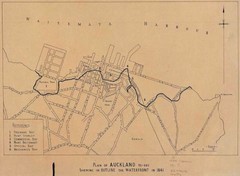
Auckland's Waterfront - Pre-1930 Map
Map of Auckland's waterfront from prior to 1930. Shows the outline of the 1841 waterfront...
307 miles away
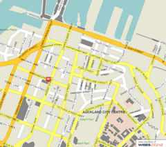
Auckland City Street Map
Street map of Auckland City Center
307 miles away
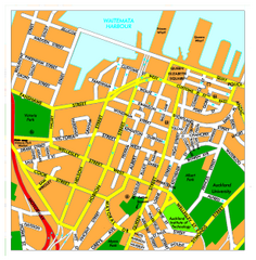
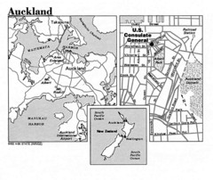
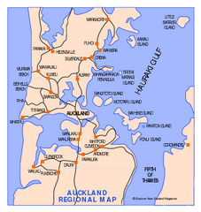
Auckland City Map
Regional map of Auckland city
307 miles away
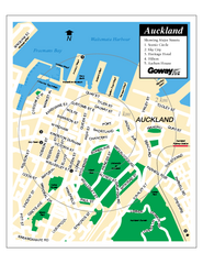
Auckland City Street Map
Street map of Auckland City
307 miles away
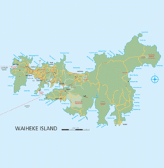
Waiheke Island Map
Reference map of Waiheke Island in the Hauraki Gulf of New Zealand. From waihekenz.com:"...
311 miles away
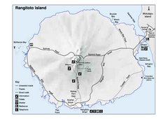
Rangitoto Island Map
Overview map of Rangitoto Island, New Zealand, a volcanic island public reserve.
311 miles away
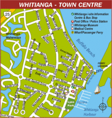
Whitianga Map
Street map of town center
312 miles away
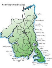
North Shore, New Zealand Beach Map
312 miles away
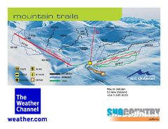
Mount Dobson Trail Map
Ski trail map or Mt. Dobson
314 miles away
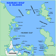
Haukari Gulf Map
322 miles away
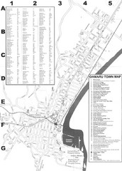
Oamaru Tourist Map
Tourist map of Oamaru, New Zealand. Has street index and shows points of interest.
326 miles away
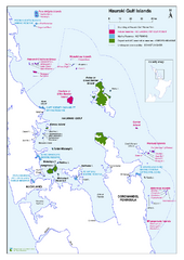
Hauraki Gulf Islands Nature Reserves Map
Shows nature reserves, marine reserves, and boundary of Hauraki Gulf Marine Park.
335 miles away
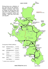
Great Barrier Island Map
On this website you will find comprehensive information about Great Barrier Island including all...
354 miles away
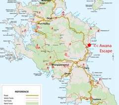
Great Barrier Island Map
354 miles away
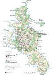
Great Barrier Island Map
354 miles away
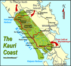
Kauri Coast Map
Map of Kauri Coast region
361 miles away
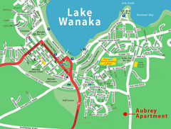
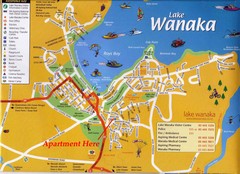
Wanaka Town Map
Street map of town of Wanaka
370 miles away
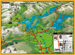
Wanaka Area Tourist Map
370 miles away
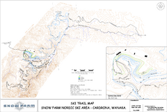
Snowfarm Nordic Ski Trail Map
Trail map from Snowfarm.
370 miles away
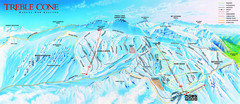
Treble Cone Trail Map
Ski trail map of Treble Cone mountain
378 miles away
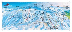
Treble Cone Trail Map
Ski trails on Treble Cone Mountain
378 miles away
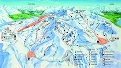
Cardrona Trail Map
379 miles away
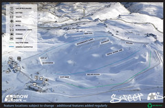
Snow Park Ski Trail Map
Trail map from Snow Park.
381 miles away
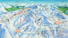
Cardrona Ski Trail Map
Trail map from Cardrona.
383 miles away
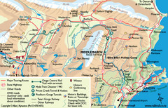
Otago Central Map
Otago map with detail of regional towns, rail station stops, and highways
384 miles away
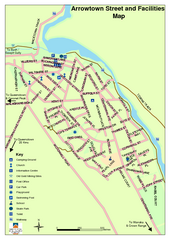
Arrowtown Street Map
392 miles away
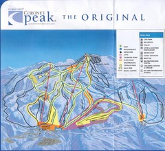
Coronet Peak Ski Trail Map
Trail map from Coronet Peak.
396 miles away

