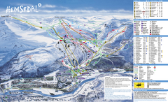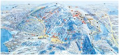
Ruka Ski Trail Map
Ski trail map of Ruka, Finland
357 miles away
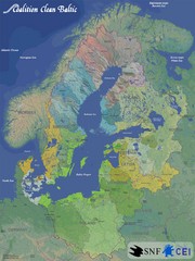
Baltic Sea River Basins Map
Map of the river basins feeding the Baltic Sea from the surrounding countries in Coalition Clean...
368 miles away

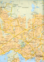
Hessdal and Oslo, Norway Map
Roads and areas surrounding Oslo, Norway
368 miles away
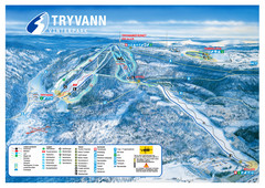
Tryvann Vinterpark Ski Trail Map
Trail map from Tryvann.
369 miles away
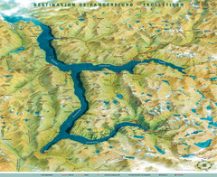
Geiranger Fjord Map
370 miles away
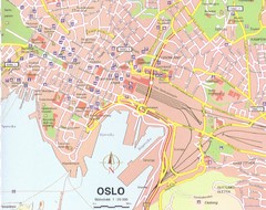
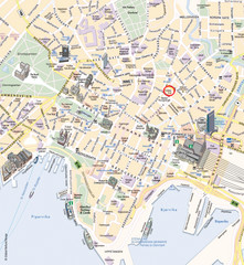
Oslo City Map
City map of central Oslo, Norway. Oslo Central Station highlighted.
370 miles away
Oslo Tourist Map
Tourist map of central Oslo, Norway, capital and largest city in Norway. Shows streets, city parks...
371 miles away
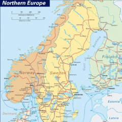
Northern Europe Tourist Map
371 miles away
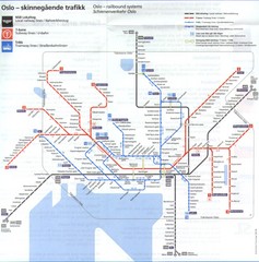
Oslo, Norway Public Transportation Map
371 miles away
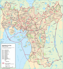
Oslo Neighborhood Map
Shows neighborhoods in city of Oslo, Norway
371 miles away
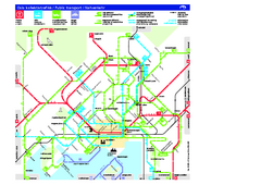
Oslo Public Transport Map
Shows metro, tramway, main bus service, and ferries.
371 miles away
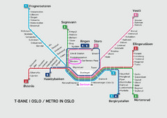
Oslo Metro Map
A map of the Metro lines in Oslo
371 miles away
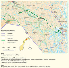
Reisa National Park Map
Overview map of Reisa National Park, Norway on the border with Sweden.
372 miles away
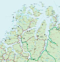
Tromso Lyngen Region Overview Map
Reference map of Tromso, Norway region above the Arctic Circle. Shows roads and major ferry routes.
378 miles away
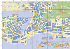
Alesund Town Map
Map of Alesund, Norway town center. Shows tourist points of interest. Inset shows location on...
380 miles away
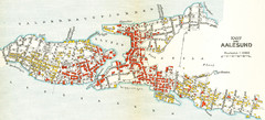
Alesund in 1911 Map
381 miles away
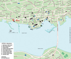
Tromso Tourist Map
Tourist map of central Tromso, Norway showing all hotels.
383 miles away
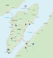
Tromso Overview Map
Overview map of Tromso, Norway island. Shows major roads and streets.
384 miles away

Saimaa Finalnd Map
Map of Lake Saimaa and surrounding area with roads and cities.
386 miles away
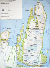
Lyngen Peninsula Map
Topo map of the northern Lyngen Peninsula near Tromso, Norway. Shows peaks. From photo.
394 miles away
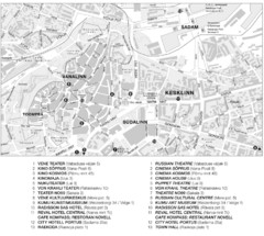
Tallinn Tourist Map
Tourist map of central Tallinn, Estonia. Shows theaters and hotels.
395 miles away
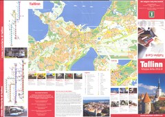
Tallinn guide side-1 Map
395 miles away
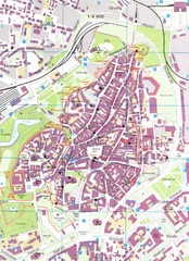
Tallinn Tourist Map
Tourist map of old town Tallinn, Estonia. In Estonian.
395 miles away
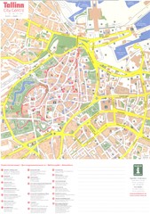
Tallinn center Map
395 miles away
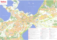
Tallinn region Map
395 miles away
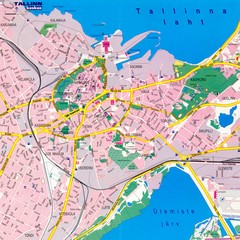
Tallinn City Map
Tallinn city street map
395 miles away
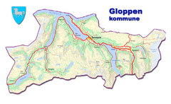
Gloppen Town Map
Topo map of Gloppen, Norway
400 miles away
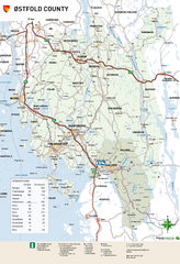
Ostfold County Map
Road map of Ostfold County, Norway.
401 miles away
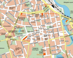
Linkoping City Center Map
Map of city center
402 miles away
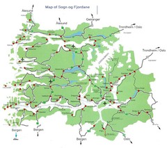
Sogn og Fjordane Region Map
Map of the Sognefjorden, Norway region
404 miles away
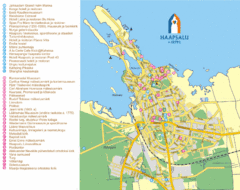
Haapsalu Tourist Map
Tourist street map of Haapsalu
405 miles away
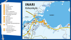
Inari Tourist Map
Tourist map of Inari, Finland. Shows hotels.
415 miles away
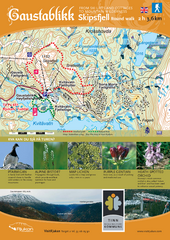
Skipsfjellet Hiking Map
Hiking trail map of Skipsfjell, Norway near Rjukan, Norway. Shows moderate 2 hour loop hike and...
416 miles away
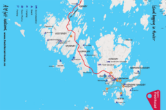
Hvaler Island Hopping Map
Tourist map of island hopping in Hvaler, Norway. Shows accommodations, beaches, camping, guest...
416 miles away
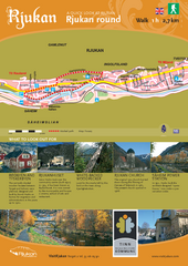
Rjukan Walking Map
Walk route map in Rjukan, Norway. Shows natural and cultural history and photos.
420 miles away


