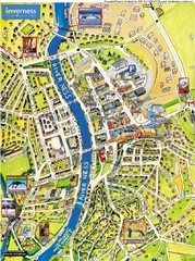
Inverness City Map
Pictorial map of Inverness
868 miles away

Rostov Velikiy Map
870 miles away
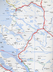
Elphin Map
870 miles away
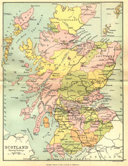
Scotland Counties Map
Map of Scotland and its counties
870 miles away
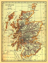
1641-1892 Scotland Map
Guide to Scotland and its counties, from 1641-1892
871 miles away
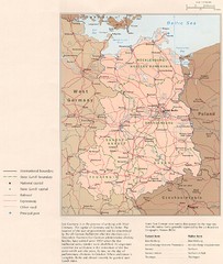
E Germany Map
872 miles away
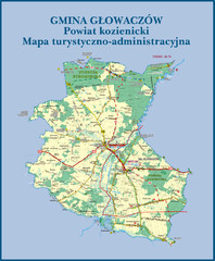
GLOWACZOW commune, PL Map
GLOWACZOW commune map, PL Ed. 2010 All data verified
874 miles away
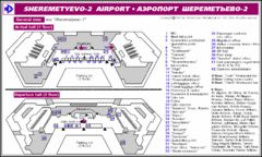
Sheremetyevo International Airport Map
Map and key marking both upper and lower levels if this airport.
874 miles away
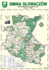
Gmina Glowaczow - Mazovia PL Map
That is a Głowaczów commune / Mazovia PL wall map. Created with use of GlobalMapper...
874 miles away
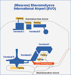
aeroport Sheremetevo Map
875 miles away
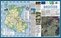
Brzoza_Glowaczow_Poland - 2000 x 1250.PNG Map
Map of Brzoza_Glowaczow_Poland - 2000 x 1250.PNG is special project dedicated to school in Brzoza...
875 miles away
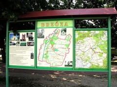
Brzoza_Glowaczow_Poland.jpg Map
Street map of Brzoza_Glowaczow_Poland.jpg - a "heavy-duty" street map after 6 years on...
875 miles away

RadomkaRiver-kayaking Map
Radomka River - kayaking map Checked on field and verified map of Radomka River from Brzoza to...
875 miles away

Pereslavl-Zalessky Map
876 miles away
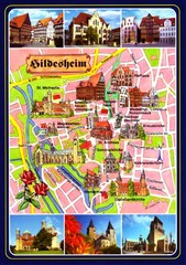
Hildesheim Tourist Map
Tourist map of downtown Hildesheim
876 miles away
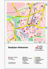
Hildesheim Center Tourist Map
Tourist street map of Hildesheim city center
876 miles away
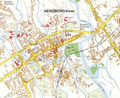
Herzberg (Elster) Map
Street map of Herzberg
876 miles away
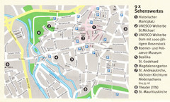
Hildesheim Map
876 miles away
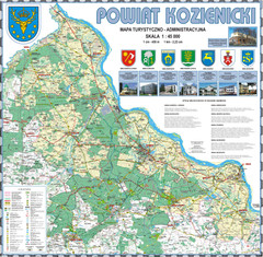
Kozienice_County_wall_map Map
Kozienice County big size wall map Covers all 7 communes: Kozienice, Garbatka-Letnisko, Grabow nad...
877 miles away
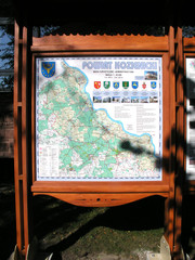
Kozienice_County_Poland_Streetmap.jpg Map
Street Map of Kozienice_County_Poland_Streetmap.jpg is added here because of the interesting wooden...
878 miles away
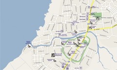
Pereslavl-Zalessky Map
878 miles away
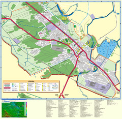
Kocienice_City_Plan-POLAND Map
Plan of City of Kozienice, PL
879 miles away
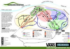
Cairn Gorm Ski Trail Map
Trail map from Cairn Gorm.
880 miles away
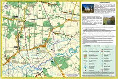
Bartodzieje_Village_Jastrzebia_Poland_streetmap...
Map of Bartodzieje_Village_Jastrzebia_Poland_streetmap.pdf is a street informative map of dimension...
880 miles away
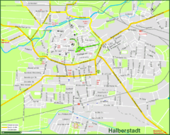
Halberstadt Map
Street map of Halberstadt town
881 miles away
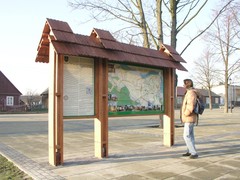
Sieciechow commune street map, PL Map
Sieciechow commune - street map Ed. 2007 Size 2000 x 1000 mm Type: administratie and touristic map
882 miles away
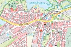
Vienenburg Center Map
Street map of town center
882 miles away

Europe Political Map
882 miles away
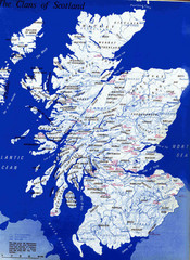
Scotland Clan Map
Guide to clans and prominent families in Scotland
882 miles away
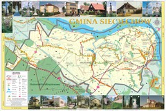
Sieciechow, Poland, Mazovia Map
Sieciechow commune map, Mazovia, PL
882 miles away
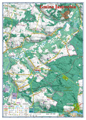
Jastrzebia commune 3D Map
Jastrzebia commune - 3D map Ed. 2010 Projection UTM/WGS84 Scale 1:25 000 Mede with extensive use...
883 miles away
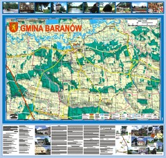
Baranow count wall map, PL Map
Baranow commune in Pulawy county, PL 3D big size wall map, surrounded by photos from Baranow area...
883 miles away

St Andrews Scotland Tourist Map
Illustrated tourist Map of St. Andrews, Scotland showing historical building and streets.
883 miles away
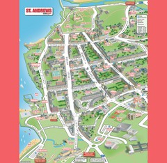
St. Andrews Map
Tourist map of St. Andrews
884 miles away
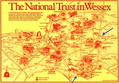
Wessex Scotland Historical Places Map
Illustrated tourist map of Wessex, Scotland showing historical landmarks.
884 miles away
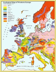
Western Europe Geology Map
Geological map of Western Europe. Modified after Kirkaldy 1967.
884 miles away
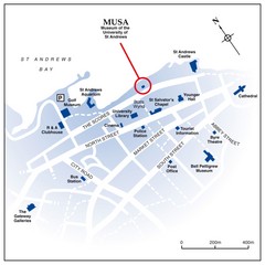
St. Andrews, Scotland Tourist Map
Shows several locations, including University of St. Andrews, in St. Andrews, Scotland
884 miles away

Kostroma Map
885 miles away
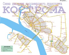
Kostroma Map
885 miles away
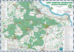
PuszczaKozienicka tourist map
LKP - Lesny Kompleks Promocyjny - PuszczaKozienicka - tourist map Ed. 2010 Projection: UTM/WGS84...
885 miles away

