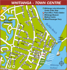
Whitianga Map
Street map of town center
0 miles away
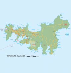
Waiheke Island Map
Reference map of Waiheke Island in the Hauraki Gulf of New Zealand. From waihekenz.com:"...
34 miles away
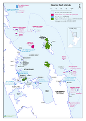
Hauraki Gulf Islands Nature Reserves Map
Shows nature reserves, marine reserves, and boundary of Hauraki Gulf Marine Park.
42 miles away
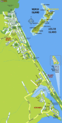
Waihi Beach Tourist Map
42 miles away
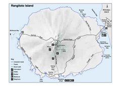
Rangitoto Island Map
Overview map of Rangitoto Island, New Zealand, a volcanic island public reserve.
46 miles away
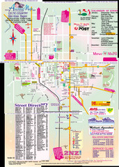
Glen Innes Map
47 miles away
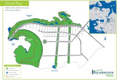
Highbrook Park Map
47 miles away
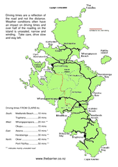
Great Barrier Island Map
On this website you will find comprehensive information about Great Barrier Island including all...
47 miles away
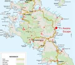
Great Barrier Island Map
47 miles away
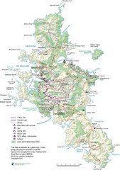
Great Barrier Island Map
47 miles away
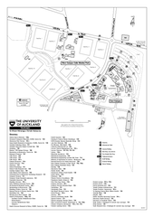
University of Auckland - Tamaki Campus Map
Map and directory of the Tamaki Campus of the University of Auckland.
47 miles away
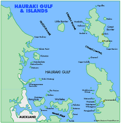
Haukari Gulf Map
51 miles away
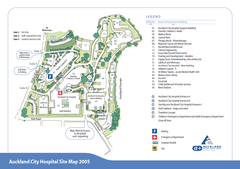
Auckland City Hospital Site Map 2005
51 miles away
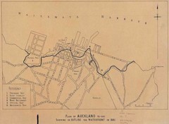
Auckland's Waterfront - Pre-1930 Map
Map of Auckland's waterfront from prior to 1930. Shows the outline of the 1841 waterfront...
51 miles away
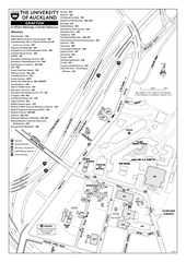
University of Auckland - Grafton Campus Map
Map of Grafton Campus of University of Auckland.
52 miles away
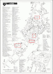
University of Auckland Campus Map
City campus map of University of Auckland, New Zealand
52 miles away
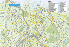
Auckland City Central Map
Map of Auckland, Australia, city center with hotel and tourist locations.
52 miles away
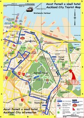
Parnell, Auckland Tourist Map
Tourist & Visitor Map showing tourist attractions, hotels, suggested walks and bus routes.
52 miles away
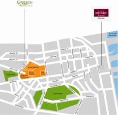
Central Auckland Map
52 miles away
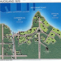
Auckland in 1870 Map
Downtown Auckland (New Zealand) as in 1870
52 miles away
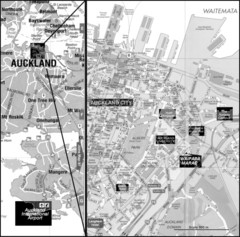
Auckland Tourist Map
The city of Auckland, New Zealand
52 miles away
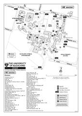
University of Auckland - Epsom Campus Map
Epsom campus includes teacher's college.
52 miles away
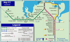
Auckland Rail Map
Rail map of Auckland's train system
52 miles away
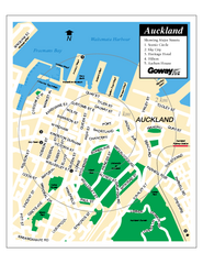
Auckland City Street Map
Street map of Auckland City
52 miles away
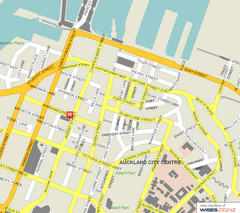
Auckland City Street Map
Street map of Auckland City Center
52 miles away
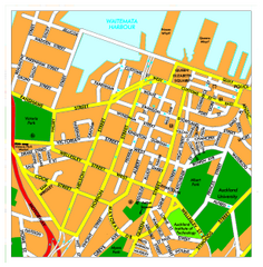
Auckland City Map
Regional map of Auckland city
52 miles away
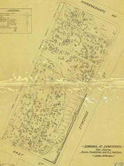
Symonds Street Cemetery - Jewish, Prebyterian and...
The Old Symonds Street Cemetery. This is the Jewish, Presbyterian and Catholic section.
52 miles away
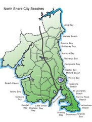
North Shore, New Zealand Beach Map
53 miles away
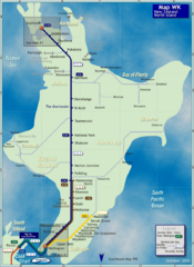
North Island Rail Map
Rail map of transit system throughout the North Island
74 miles away
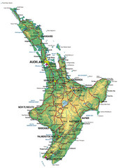
North Island Map
Map of North Island with cities detailed
74 miles away
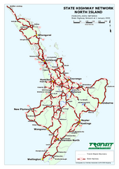
North Island State Highway Map
Map of state highway system throughout the North Island
74 miles away
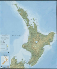
North Island New Zealand Map
74 miles away
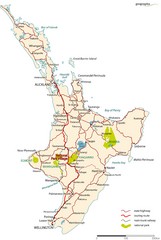
North Island Road Map
Road map of North Island, New Zealand. National Park Village highlighted.
91 miles away
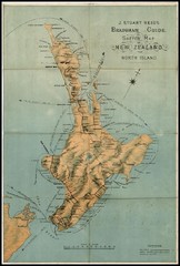
1880 New Zealand North Island Map
97 miles away
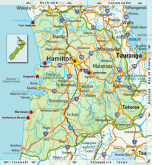
Waikato Region Map
98 miles away
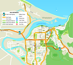
Whakatane Town Map
105 miles away
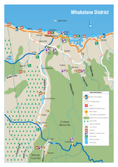
Whakatane District Map
Tourist map of Whakatane region
107 miles away
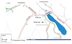
Whakamaru New Zealand Map
Map of Whakamaru, New Zealand showing a local hotel and restaurant.
110 miles away

