
R. B. Winter State Park map
Recreation map for R. B. Winter State Park in Pennsylvania
191 miles away
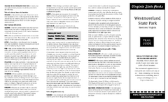
Westmoreland State Park Map
Fishing, hiking, camping and more are all available at this state park.
191 miles away
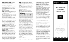
Pocahontas State Park Map
Clearly marked state park map and legend.
192 miles away
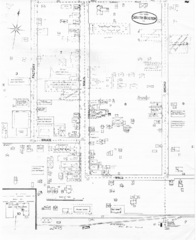
Pipestand Map
Historical map with reference to pipestand for the fire department
192 miles away
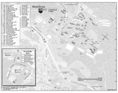
Penn State Erie Behrend College Campus Map
Campus map of Behrend College, Penn State Erie.
193 miles away
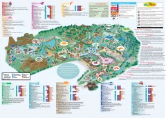
Hershey Park Official Map
Official 2007 map of the Hershey Theme Park in Hershey, PA
193 miles away
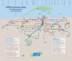
Erie Metro Bus routes Map
193 miles away
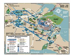
Annapolis Tourist map
193 miles away
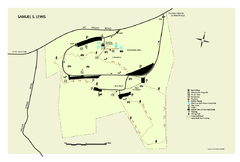
Samuel S. Lewis State Park map
Recreation map for Samuel Lewis State Park in Pennsylvania
193 miles away
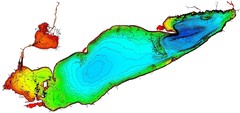
Lake Erie Depths Map
193 miles away
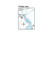
Findley Lake Map
Tourist map of Findley Lake, New York. Shows shops, lodging and hiking trails.
194 miles away

United States Naval Academy Map
Campus map
194 miles away

Presque Isle State Park map
Detailed recreation map for Presque Isle State Park in Pennsylvania
195 miles away
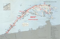
Erie Marathon Course Park Map
Map of marathon course and alternate course sidewalk trail for Erie Marathon in Presque Isle State...
195 miles away
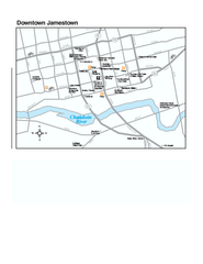
Downtown Jamestown Map
Tourist map of Downtown Jamestown, New York. Shows shops, parking, cinemas, hotels, and government...
196 miles away

Ole Bull State Park Map
Detailed recreation map of Ole Bull State Park in Pennsylvania
196 miles away
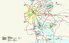
Richmond National Battlefield Park Official Map
Official NPS map of Richmond National Battlefield Park in Virginia. Park battlefields are open...
197 miles away
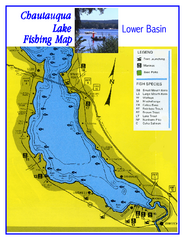
Southern Chautauqua Lake Fishing Map
Fishing map of southern Chautauqua Lake, New York. Shows marinas, boat ramps, state parks and fish...
197 miles away
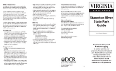
Staunton River State Park Map
Clear map marking trails, rest stops, facilities and more.
197 miles away
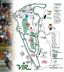
Virginia International Raceway Guide Map
VIR Guide Map
197 miles away
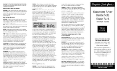
Staunton River Battlefield State Park Map
Clearly labeled state park map.
198 miles away
Blue Ridge Parkway Official Map
Official NPS map of the Blue Ridge Parkway. The Parkway meanders 469 miles through Virginia and...
198 miles away
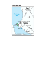
Bemus Point Map
Tourist map of Bemus Point, NY. Shows lodging, parks, shops, restaurants, and other points of...
199 miles away
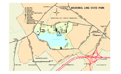
Memorial Lake State Park map
Detailed map of Memorial Lake State Park in Pennsylvania
199 miles away
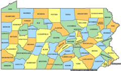
Pennsylvania Counties Map
199 miles away
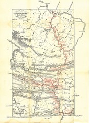
Lehigh Valley Railroad Historical Map
Built in 1846, this railroad was built primarily to haul coal. It was also known as the Route of...
199 miles away
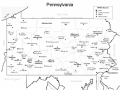
Pennsylvania Airports Map
199 miles away
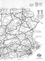
Eastern Pennsylvania Road Map
199 miles away
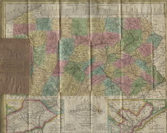
Pennsylvania Tourist Pocket Map
The map is dated 1820-31 by counties shown and comes from Anthony Finley's A New General Atlas...
199 miles away
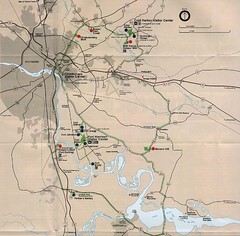
Richmond Area Civil War Battle Map
Richmond, VA area Civil War battle map
199 miles away
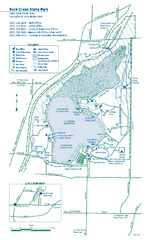
Buck Creek State Park map
Detailed recreation map for Buck Creek State Park in Ohio
200 miles away
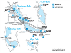
Marinas and Boat Ramps on Chautauqua and...
Recreation map of Chautauqua, Findley, Cassadaga, and Bear Lakes, New York. Shows marinas and boat...
200 miles away
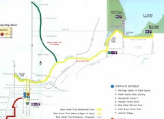
Buck Creek Trail Map
201 miles away
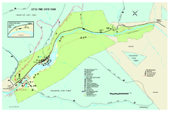
Little Pine State Park Map
Detailed recreation map for Little Pine State Park in Pennsylvania
201 miles away
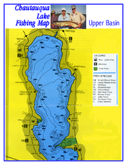
North Chautauqua Lake Fishing Map
Fishing map of northern Chautauqua Lake, New York. Shows marinas, boat ramps, state parks, and...
202 miles away

Birdseye Map of Sandusky, Ohio (1898)
Alvord-Peters birdseye map of Sandusky in 1898.
202 miles away
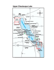
Upper Chautauqua Lake Map
Tourist map of upper Chautauqua Lake, New York. Shops, lodging, and other points of interest in the...
202 miles away

Glendale, Virginia Battle Map
A Civil War Battle Map in Glendale, Virginia
202 miles away
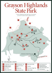
Grayson Highlands State Park Map
202 miles away

Cedar Point Amusement park Map
203 miles away

