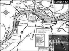
Ohio River at Louisville, KY & Southern...
This is from the Ohio River Guidebook
337 miles away
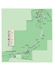
Ichetucknee Springs State Park Map
Map of park with detail of trails and recreation zones
338 miles away
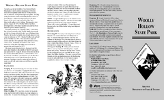
Woolly Hollow State Park Map
Map of Woolly Hollow State Park showing hiking trails and park amenities.
339 miles away
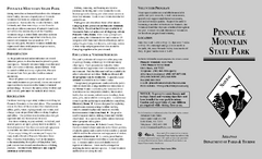
Pinnacle Mountain State Park Map
Map of the Pinnacle Mountain State Park including trails, park sites and amenities.
340 miles away
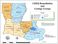
Louisiana Map
District and geological map of Louisiana
340 miles away
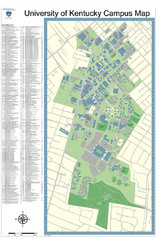
University of Kentucky Campus Map
Campus Map of University of Texas includes detailed numbered building list, all streets and sports...
340 miles away
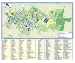
University of Kentucky Campus Map
2008 UK Visitor Map
340 miles away
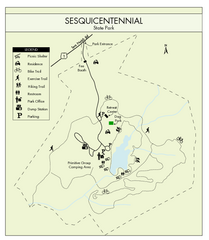
Sesquicentennial State Park Map
Map of this beautiful state park.
340 miles away
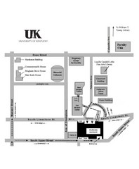
University of Kentucky Campus Map
Map of a part of University of Kentucky. Includes the specific location of the parking garage next...
340 miles away
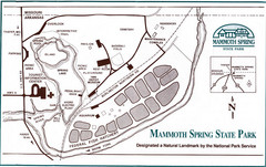
Mammoth Spring State Park Map
342 miles away
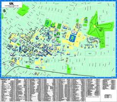
University of Kentucky Map
Campus Map of the University of Kentucky. All areas shown.
342 miles away
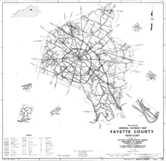
Fayette County General Highway Map
Transportation Map of Fayette County, KY
342 miles away

Fort McAllister Historic Park Map
Map of park with detail of trails and recreation zones
343 miles away
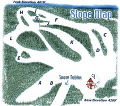
Hawksnest Golf & Ski Resort Ski Trail Map
Trail map from Hawksnest Golf & Ski Resort.
344 miles away
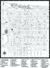
Savannah Historic District map
Map of Savannah, Georgia's historic district. Shows popular places
344 miles away
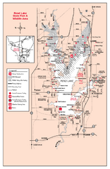
Rend Lake State Park, Illinois Site Map
344 miles away
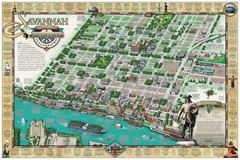
Savannah Historic District Illustrated Map
This Americana-style illustrated map depicts the Savannah Historic District from a birds-eye-view...
344 miles away

Tweetsie Tourist Map
344 miles away
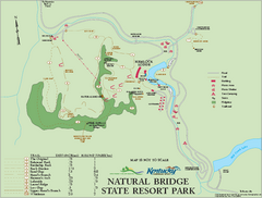
Natural Bridge State Resort Park map
Recreation map for Natural Bridge State Park in Kentucky
345 miles away
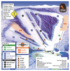
Appalachian Ski Mtn. Ski Trail Map
Trail map from Appalachian Ski Mtn..
345 miles away
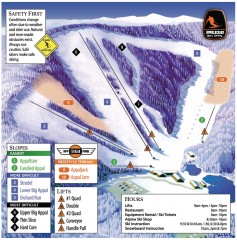
Appalachian Ski Trail Map
Official ski trail map of Appalachian ski area
345 miles away
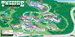
Tweetsie Railroad Park Map
Tweetsie Railroad is a unique attraction that allows children and families to explore their...
346 miles away
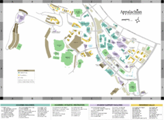
Appalachian State University Campus Map
Campus map of Appalachian State University in Boone, NC
346 miles away

Watauga County Attractions Map
Watauga County Tourist Attractions
346 miles away

Watauga County Restaurants Map
Watuaga County Restaurant Guide
346 miles away
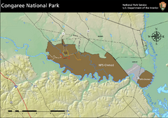
Congaree National Park Official Park Map
Official NPS map of Congaree National Park. Map shows all areas. Congaree National Park is open...
346 miles away
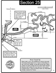
Mount Carmel, IL White River & Wabash River...
This is a page from the White River Guidebook. The map shows important information for boaters and...
347 miles away
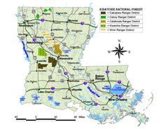
Kisatchie National Forest Map
Shows districts of Kisatchie National Forest in Louisiana
348 miles away
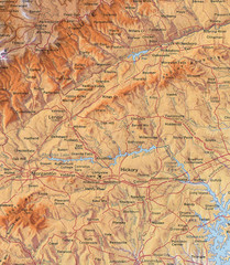
North Carolina Mountains Map
Location of the South, Brushy, and Blue Ridge Mountain ranges in Western North Carolina.
348 miles away
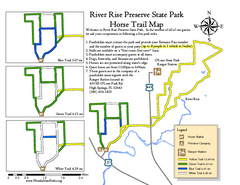
River Rise Preserve State Park Horse Trail Map
Map of horse trails throughout preserve
348 miles away
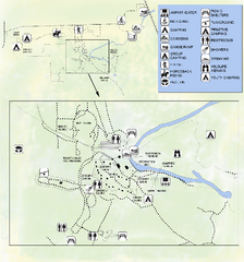
OLeno State Park Map
Map of park with detail of trails and recreation zones
348 miles away
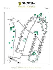
Skidaway Island State Park Map
Map of park with detail of trails and recreation zones
349 miles away
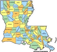
Louisiana Counties Map
349 miles away
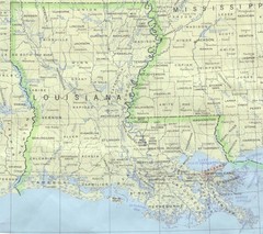
Louisiana Tourist Map
349 miles away
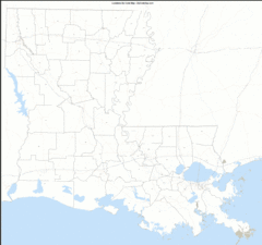
Louisiana Zip Code Map
Check out this Zip code map and every other state and county zip code map zipcodeguy.com.
349 miles away
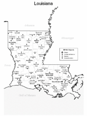
Louisiana Airports Map
349 miles away
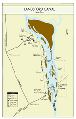
Landsford Canal State Park Map
Clear map with detailed legend marking this beautiful state park.
350 miles away

Charlestown State Park Map
350 miles away
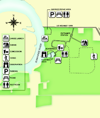
Fanning Springs State Park Map
Map of park with detail of trails and recreation zones
351 miles away
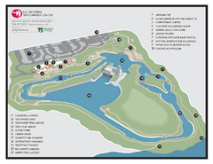
US National Whitewater Center Map
Facility map of the US National Whitewater Center in Charlotte, North Carolina
352 miles away

