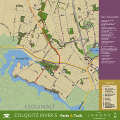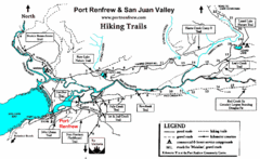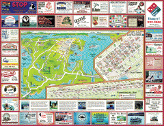
Anacortes tourist map
Tourist map of Anacortes, Washington. Shows recreation and points of interest.
312 miles away

Galloping Goose and Lochside Regional Trails Map
313 miles away
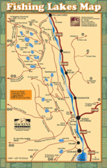
Radium Hot Springs Fishing Map
Beautiful map of the many fishing spots at this amazing site.
313 miles away
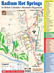
Radium Hot Springs Map
An easy to read map of this amazing hot springs area.
313 miles away

Phoenix Mountain Ski Trail Map
Trail map from Phoenix Mountain.
313 miles away

Panorama Trail Map
Ski trail map
314 miles away
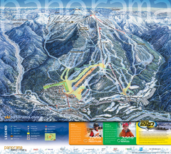
Panorama Mountain Village Ski Trail Map
Trail map from Panorama Mountain Village.
314 miles away
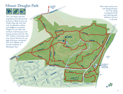
Mount Douglas Park Map
314 miles away
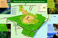
Mount Douglas Park Trails and Habitat Zones Map
314 miles away
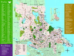
Full Map of Saanich Parks & Trails 2012
Full Map of Saanich Parks & Trails 2012
314 miles away
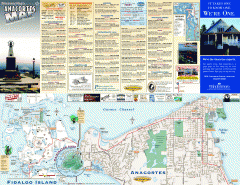
Fidalgo Island tourist map
Tourist map of Fidalgo Island in Anacortes, Washington. Shows recreation and points of interest.
314 miles away
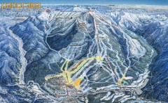
Panorama Ski Trail Map
Official ski trail map of Panorama ski area from the 2006-2007 season.
314 miles away
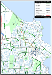
Cycling routes to UVic Map
Bike Route Map of Local Area around UVic © 2007, University of Victoria Updated 17 April...
314 miles away
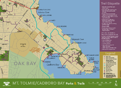
Mt. Tolmie & Cadboro Bay Map
Section of larger map, showing Seaside Touring Route and other regional and local cycling routes...
315 miles away
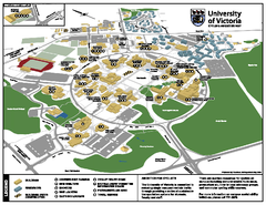
University of Victoria - Cycling Amenities Map
Showing the various cycling related amenities ie. Covered Bicycle Parking, bicycle lockers...
316 miles away
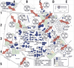
UVic Bicycle Access Patterns 2010 Map
Showing bicycle usage statistics
316 miles away
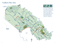
Cadboro Bay Area Map
316 miles away
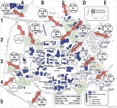
UVic Bicycle Access Patterns 2008 Map
Showing bicycle usage statistics
316 miles away

Mount Tolmie Park Map
316 miles away
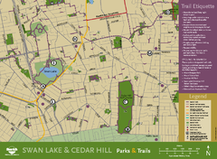
Swan Lake & Cedar Hill Area Map
Swan Lake & Cedar Hill Parks & Trails
316 miles away
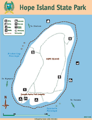
Hope Island State Park Map
Map of park with detail of trails and recreation zones
316 miles away
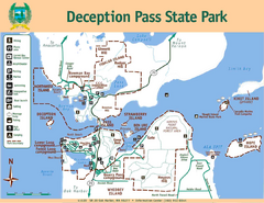
Deception Pass State Park Map
Map of park with detail of trails and recreation zones
317 miles away
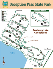
Deception Pass State Park Map
Map of park with detail of trails and recreation zones
317 miles away
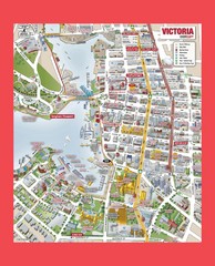
Victoria City Tourist Map
Tourist map of Victoria City on Vancouver Island, BC
318 miles away
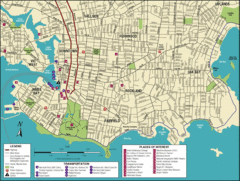
Victoria, British Columbia Tourist Map
318 miles away
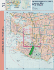
Downtown Victoria, British Columbia Tourist Map
318 miles away
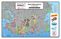
2008 Royal Victoria Half Marathon Map
Course Map for the Royal Victoria Half Marathon. Held Sunday, October 12, 2008
318 miles away

Welcome to Esquimalt Parks and Recreation...
318 miles away
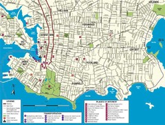
Downtown Victoria Map
319 miles away

Shuttle to Town Map
319 miles away
BEACON HILL PARK MAP
319 miles away
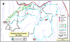
Paulson X-C (Castlegar Nordic) Ski Trail Map
Trail map from Paulson X-C (Castlegar Nordic), which provides nordic skiing. This ski area has its...
319 miles away

West Coast Trail Map
320 miles away
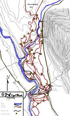
Nipika Ski Trail Map
Trail map from Nipika, which provides nordic skiing. This ski area has its own website.
323 miles away

