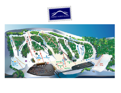
Perfect North Slopes Ski Trail Map
Trail map from Perfect North Slopes, which provides downhill, nordic, and terrain park skiing. It...
293 miles away
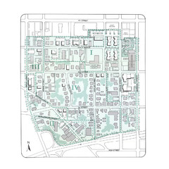
Downtown Wiston-Salem Map
The Holly Avenue neighborhood located on the southwestern edge of downtown Winston-Salem has...
293 miles away
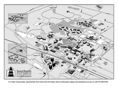
Southern Illinois University Carbondale Map
Campus Map of the Southern Illinois University Carbondale. All buildings shown.
294 miles away
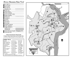
Morrow Mountain State Park map
Detailed recreational map for Morrow Mountain State Park in North Carolina
294 miles away
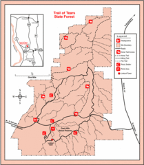
Trail of Tears State Park, Illinois Map
295 miles away
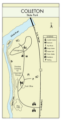
Colleton State Park Map
Detailed map and map legend of this beautiful state park.
295 miles away
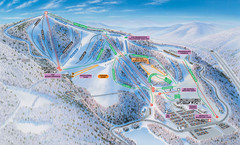
Winterplace Ski Resort Ski Trail Map
Trail map from Winterplace Ski Resort.
296 miles away
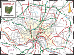
Cincinnati Tourist Map
296 miles away
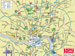
Cincinnati Tourist Map
296 miles away
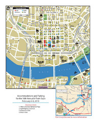
Cincinnati, Ohio Restaurant Map
296 miles away
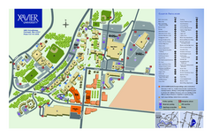
Xavier University Map
296 miles away
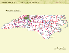
North Carolina Wine Map
Map of North Carolina wineries. 2nd page of PDF has winery listings
297 miles away
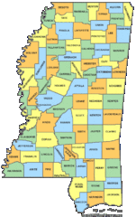
Mississippi Counties Map
297 miles away
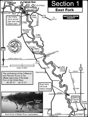
Columbus, IN White River East Fork Map
This is a page from the White River Guidebook. The map shows important information for boaters and...
297 miles away
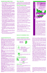
Brown County State Park, Indiana Site Map
297 miles away
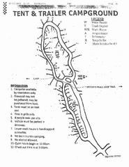
Hanging Rock, campground site map
Hanging Rock State park, map of family campground sites
298 miles away
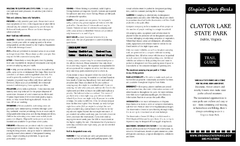
Claytor Lake State Park Map
Map of this beautiful state park.
298 miles away
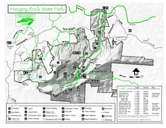
Hanging Rock state park Map
Interior color map of Hanging Rock State Park.
298 miles away
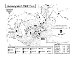
Hanging Rock State Park map
Detailed recreation map for Hanging Rock State Park in North Carolina
298 miles away
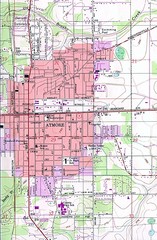
Atmore City Map
Topographical city map of Atmore, Alabama
299 miles away
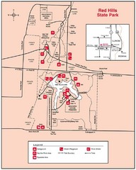
Red Hills, Illinois State Park Site Map
300 miles away
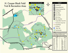
H. Cooper Black Field Map
Detailed map and legend of this state park.
301 miles away
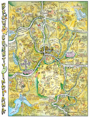
Brown County, Tennessee Tourist Map
302 miles away
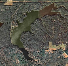
Lake Tallavana Map
Lake Tallavana aerial Map of the lake and surrounding areas.
302 miles away
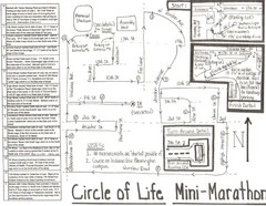
Circle of Life Mini-Marathon Map
Detailed Hand-Drawn Course for Circle of Life Mini-Marathon Map
302 miles away

Lake Tallavana Parcel Map
Lake Tallavana Parcel Map
302 miles away
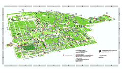
Indiana University - Bloomington Map
Campus map of Indiana University at Bloomington. All buildings shown.
302 miles away
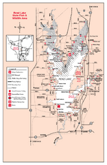
Rend Lake State Park, Illinois Site Map
302 miles away
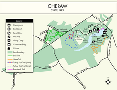
Cheraw State Park Map
Clear and descriptive state park map.
303 miles away
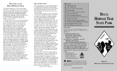
Delta Heritage Trail State Park Map
Map of Arkansas Historical Delta Heritage Trail both completed and uncompleted sections.
306 miles away

North Carolina Road Map
Road map of North Carolina
306 miles away
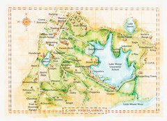
Camp Friedlander Map
306 miles away
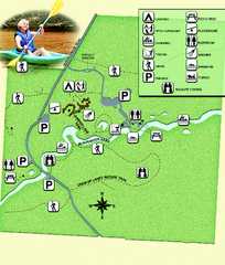
Blackwater River State Park Map
Map of park with detail of various recreation zones
306 miles away
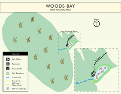
Woods Bay State Park Map
Clear map of this small yet beautiful state park.
308 miles away
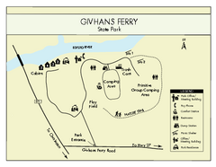
Givhans Ferry State Park Map
Map marked with shelter, phone, restrooms, picnic and more.
308 miles away
Village Creek State Park Trail Map
Trail map for hiking, bicycles and horses in Village Creek State Park.
309 miles away
Lake Poinsett State Park Map
Map of Lake Poinsett State Park showing Great Blue Heron Trail , boat ramps and park amenities.
309 miles away
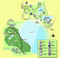
Alfred B. Maclay Gardens State Park Map
Map of park with detail of trails and recreation zones
310 miles away
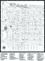
Savannah Historic District map
Map of Savannah, Georgia's historic district. Shows popular places
310 miles away
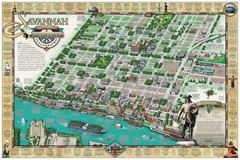
Savannah Historic District Illustrated Map
This Americana-style illustrated map depicts the Savannah Historic District from a birds-eye-view...
310 miles away

