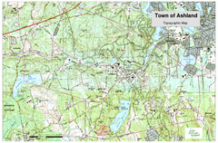
Ashland, MA - Topo Map
Map is provided by the town of Ashland, MA. See town's website for additional maps and...
305 miles away
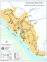
Kettletown State Park trail map
Trail map for Kettletown State Park in Connecticut.
305 miles away
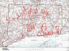
Connecticut Road Cycling Routes Map
A map of road cycling routes throughout Connecticut. Follow the link below for detailed route maps...
305 miles away
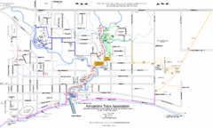
Kincardine Street & Trail Map
305 miles away
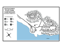
Kettletown State Park campground map
Campground map for Kettletown State Park in Connecticut.
305 miles away

Big Pocono State Park map
Detailed map for Big Pocono State Park in Pennsylvania.
305 miles away
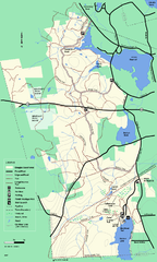
Douglas State Forest trail map
Trail map of the Douglas State Forest in Massachusetts
305 miles away
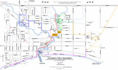
Kincardine Trail Map
Trail and street map of Kincardine, Ontario.
305 miles away
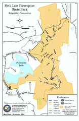
Seth Low Pierrepont State Park Reserve map
Trail map of Seth Low Pierreport State Park in Connecticut.
305 miles away
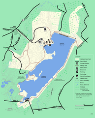
Ashland State Park Map
Clear map and legend marking trails, parking, facilities and more.
305 miles away
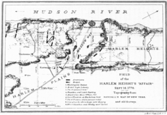
Harlem Hieghts Affair Map
Topography of the field during the battle on Sept 16 1776
305 miles away
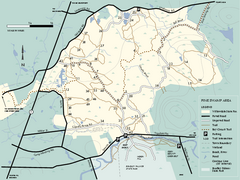
Willowdale State Forest map of Pine Swamp
Trail map of the Pine Swamp area of Willowdale State Park in Massachusetts.
305 miles away
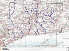
Connecticut Rivers and Coastal Paddling Map
This is a map of paddling areas for rivers and coastal kayaking. Follow the link below for...
305 miles away
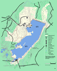
Ashland State Park Map
Map of Ashland State Park in Massachusetts.
306 miles away

Hickory Run State Park Map
Detailed map of Hickory Run State Park in Pennsylvania.
306 miles away
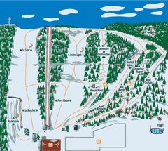
Station plein Air St-Pacome Ski Trail Map
Trail map from Station plein Air St-Pacome, which provides downhill skiing. This ski area has its...
306 miles away
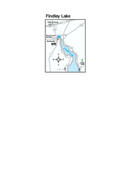
Findley Lake Map
Tourist map of Findley Lake, New York. Shows shops, lodging and hiking trails.
306 miles away
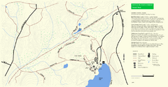
Douglas State Park Detail Map
306 miles away
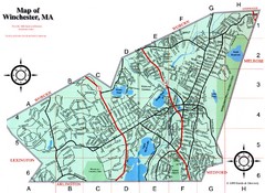
Winchester Town Map
306 miles away
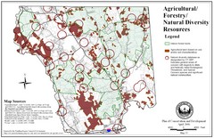
Mansfield Conservation and Development Map
Guide to Agricultural, Forestry and Natural Diversity Resources
306 miles away

Mansfield Cemetery Map
306 miles away
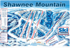
Shawnee Mountain Ski Trail Map
Trail map from Shawnee Mountain.
306 miles away
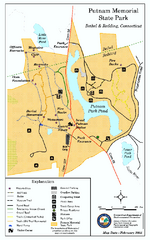
Putnam Memorial State Park map
Trail map for Putnal Memorial State Park in Connecticut,
307 miles away
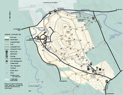
Bradley Palmer State Park summer map
Summer use map of Bradley Palmer State Park in Massachusetts
307 miles away
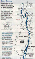
Deleware River Boat Map
307 miles away
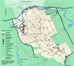
Bradley Palmer State Park winter map
Winter trail map of Bradley Palmer State Park.
307 miles away
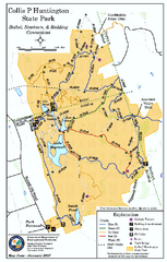
Collis P. Huntington State Park map
Trail map of Collis P. Huntington State Park in Connecticut
307 miles away
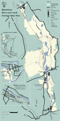
Heritage State Park Map
Clear state park map marking trails and facilities.
307 miles away
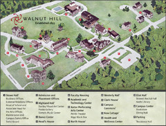
Walnut Hill School Map
Campus Map
307 miles away
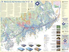
Maine's Ice Age Trail Map
307 miles away
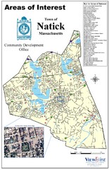
Natick Areas Of Interest Map
Shows points of interest in town of Natick, Massachusetts. Inset of downtown Natick.
307 miles away
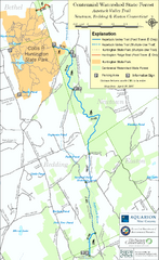
Centennial Watershed State Forest trail map
Trail map of Centennial Watershed State Forest in Connecticut
308 miles away
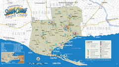
Norfolk County Tourist Map
Tourist map of Norfolk County, Ontario.
308 miles away

Manitoulin Island Map
The largest Island on a lake
308 miles away
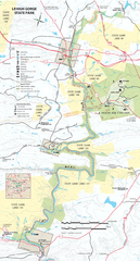
Lehigh Gorge State Park Map
Detailed recreation map for Lehigh Gorge State Park in Pennsylvania
308 miles away

Bendigo State Park map
Detailed map of Bendigo State Park in Pennsylvania
308 miles away
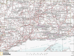
Connecticut Canoeing and Kayaking Lakes Map
A map of the lakes and ponds that are open for canoeing and kayaking in Connecticut. For detailed...
308 miles away
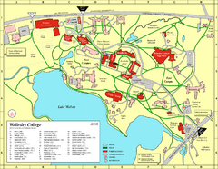
Wellesley College campus map
2008 Wellesley College campus map
308 miles away
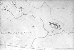
1870s Map of Wellesley College
General plan of college grounds, 1870s.
308 miles away
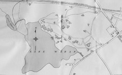
1899 Map of Wellesley College
After College Hall, the original site of Wellesley's faculty, students, classrooms, and...
309 miles away

