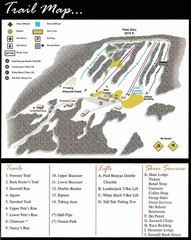
Ski Sawmill Ski Trail Map
Trail map from Ski Sawmill.
183 miles away
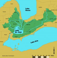
Lake St. Clair/St. Clair River watershed Map
Shows the Lake St. Clair/St. Clair River watershed.
183 miles away
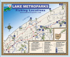
Lake Metroparks Fishing Map
185 miles away
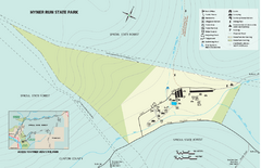
Hyner View State Park map
Detailed map of Hyner View State Park in Pennsylvania
185 miles away
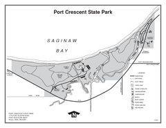
Port Crescent State Park, Michigan Site Map
186 miles away
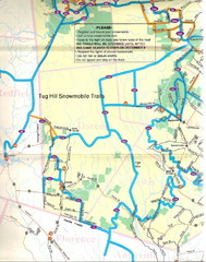
Tug Hill Trail Map
Tug Hill Area Snow Mobile Trail Map
187 miles away

Mt. Pisgah State Park map
Detailed recreation map for Mt Pisgah State Park in Pennsylvania
189 miles away
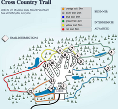
Mount Pakenham Nordic Ski Trail Map
Trail map from Mount Pakenham, which provides downhill and nordic skiing. This ski area has its own...
189 miles away
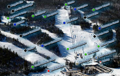
Mount Pakenham Ski Trail Map
Trail map from Mount Pakenham, which provides downhill and nordic skiing. This ski area has its own...
189 miles away
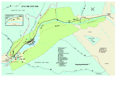
Little Pine State Park Map
Detailed recreation map for Little Pine State Park in Pennsylvania
190 miles away
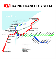
Cleveland Rapid Transit Map
191 miles away
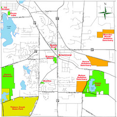
Aurora City Parks Map
Map of city parks in Aurora, Ohio.
191 miles away
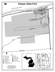
Sleeper State Park, Michigan Site Map
191 miles away
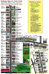
Little Italy Map
Walking tour map with labeled sites.
191 miles away
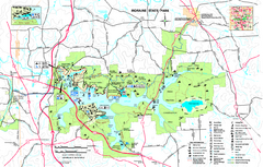
Moraine State Park map
Detailed recreation map for Moraine State Park in Pennsylvania
192 miles away

Manitoulin Island Map
The largest Island on a lake
192 miles away

1978 Bradford County, Pennsylvania Map
192 miles away

Arnprior Downtown Map
Arnprior, Ontario, Canada
193 miles away
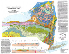
New York State Geologic Map
1:1,000,000 scale geological map of New York State
193 miles away
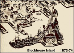
Blockhouse Island Map 1874
Bird’s Eye view map of Brockville created by artist Herman Brosius and the lithographers...
195 miles away
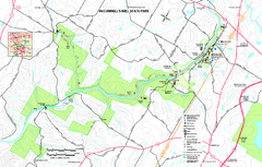
McConnells Mill State Park map
Detailed recreation map for McConnells Mill State Park in Pennsylvania
196 miles away
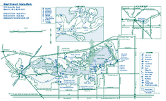
West Branch State Park map
Detailed recreation map for West Branch State Park in Ohio.
196 miles away
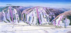
Snow Ridge Ski Trail Map
Trail map from Snow Ridge.
197 miles away
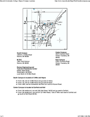
Macomb Community College Campus Map
Macomb Community College Campus Map. All buildings shown.
198 miles away
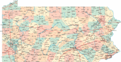
Pennsylvania Road Map
Pennsylvania detailed road map
199 miles away
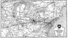
Pennsylvania Railroad System Map
Pennsylvania Railroad system map
199 miles away
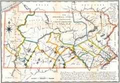
Pennsylvania Survey Map 1791
Survey Map 1791
199 miles away
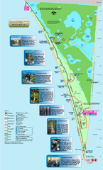
Point Pelee National Park Map
Large and clear national park map
199 miles away
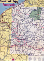
Western Pennsylvania Map
Western Pennsylvania, Northern West Virginia and Eastern Ohio roads
199 miles away
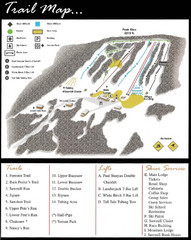
Ski Sawmill Family Resort Trail Map
Map shows trails, lifts and skier services.
199 miles away
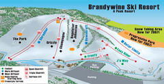
Boston Mills / Brandywine Ski Resort Brandywine...
Trail map from Boston Mills / Brandywine Ski Resort.
200 miles away
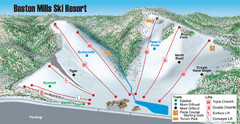
Boston Mills / Brandywine Ski Resort Boston Mills...
Trail map from Boston Mills / Brandywine Ski Resort.
200 miles away
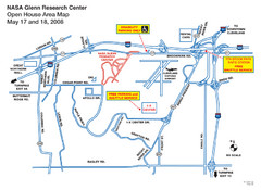
NASA Glenn Research Center Location Map
200 miles away
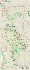
Cuyahoga Valley National Park Official Park Map
Official NPS map of Cuyahoga Valley National Park in Ohio. Map shows all areas. Cuyahoga Valley...
200 miles away
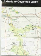
Cuyhoga National Park Map
201 miles away
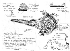
Peche Island Map
Hand-drawn map of Peche Island, Michigan
201 miles away
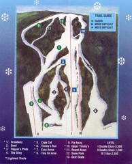
Woods Valley Ski Area Ski Trail Map
Trail map from Woods Valley Ski Area.
203 miles away
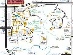
Oakland University Map
Oakland University Campus Map. All buildings shown.
203 miles away

Black Moshannon State Park map
Detailed map for Moshannon State Park in Pennsylvania.
203 miles away
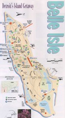
Belle Isle Tourist Map
Tourist map of Belle Isle, Detroit's island get-away
204 miles away

