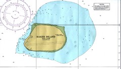
Baker Island Nautical Map
Nautical map of US unincorporated territory of Baker Island.
3717 miles away
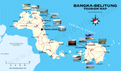
Bangka-Belitung Tourist Map
Places of interest. Indonesia.
3732 miles away
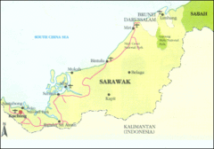
Sarawak Map
Map of Sarawak, a state on the island of Borneo.
3738 miles away
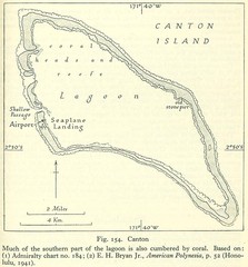
Kanton atoll Map
3739 miles away
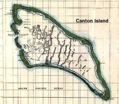
Canton Island Map
3740 miles away

Majuro atoll Map
3742 miles away
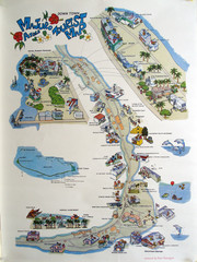
Majuro Atoll Downtown Tourist Map
Tourist map of Majuro Atoll in the Marshall Islands. Shows all points of interest.
3745 miles away
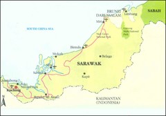
Sarawak Malaysia Map
3745 miles away
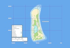
Enderbury atoll Map
3747 miles away

Arno atoll Map
3750 miles away
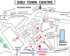
Sibu Tourist Map
3772 miles away

Kwajalien atoll Map
3777 miles away
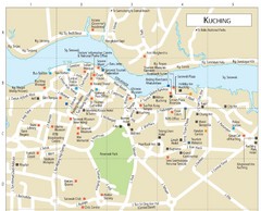
Kuching Guide Map
3782 miles away
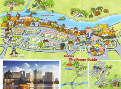
Kuching Tourist Map
Guide to Kuching, Sarawak
3782 miles away

Kwajelein atoll Map
3786 miles away
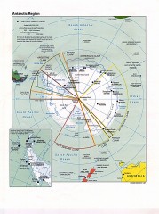
Antarctic Region Political Map 1997
Map centered on South Pole shows all country claims in Antarctica. Also shows year-round research...
3791 miles away
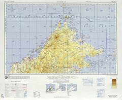
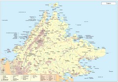
Sandakan Topo Map
Topo map of region of Sabah, Malaysia
3803 miles away
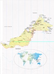
Sarawak and Sabah Map
Overview map of Sarawak and Sabah, Malaysia. Also shows Brunei Darussalam. Inset shows location...
3806 miles away
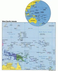
West Pacific Islands Map
Guide to the island nations of the West Pacific, such as the Federated States of Micronesia...
3807 miles away
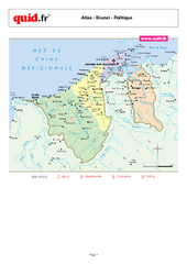
Brunei Regional Map
Map of country with detail of regional divides
3809 miles away
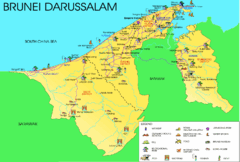
Brunei Darussalam Tourist Map
Tourist map of Brunei Darussalam. Shows points of interest
3811 miles away

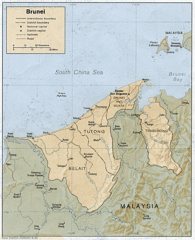
Brunei Map
3813 miles away
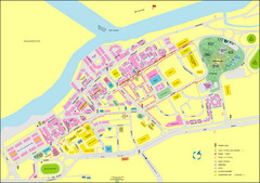
Miri City Map
City map of old town Miri. Shows places of interest.
3821 miles away
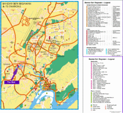
Bandar Seri Begawan Tourist Map
Tourist map of Bandar Seri Begawan, Brunei and environs. Shows foreign missions, hotels, shopping...
3822 miles away

Bandar Seri Begawan city Map
3822 miles away
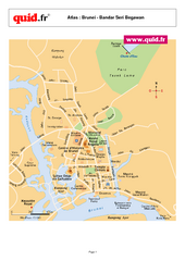
Bandar Seri Begawan Map
City map of capital
3822 miles away
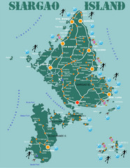
Siargao Island Diving Map
Diving map of Siargao Island and Bucas Grande Island. Shows diving spots and coral reefs.
3824 miles away
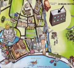
Sungai tourist Map
3825 miles away

Maleolap and Aur atoll Map
3827 miles away
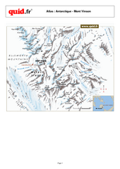
Mont Vinson Map
Map of Vinson Massif mountain range, the highest range in Antartica, 16,050 ft high. Located about...
3832 miles away

Labuan Town Tourist map
Tourist Map for the town of Labuan, Malaysia showing airports, bus stops and tourist information.
3834 miles away
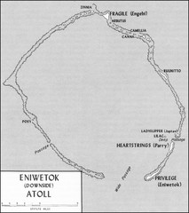
Eniwetok atoll Map
3837 miles away

Surigao Tourist Map
Tourist map of Surigao City , Philippines. Shows hotels, other accommodations, and restaurants.
3837 miles away
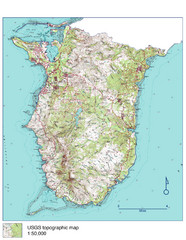
Guam Topo Map - South
Topo map of southern portion of island of Guam. 1:50,000 scale.
3841 miles away
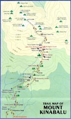
Mt Kinabalu Trail map
Trail map of route to summit of Mt. Kinabalu, the highest mountain in Malaysia at 4,101m. Please...
3841 miles away
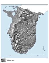
Shaded Relief of southern Guam Map
3843 miles away

