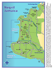
Negril Tourist and Beach Maps Map
Tourist maps and beach maps of Negril, Jamaica. Includes overview map, Negril 7-mile Beach map...
526 miles away
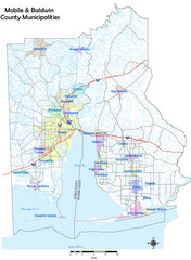
Mobile County Map
Clear map marking Mobile County and local area.
526 miles away

Mobile, Alabama City Map
526 miles away
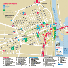
Mobile, Alabama Tourist Map
526 miles away
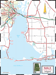
Mobile, Alabama Tourist Map
526 miles away
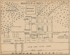
Antique map of Mobile from 1815
"Mobile in 1815" From Report on the Social Statistics of Cities, Compiled by George E...
526 miles away
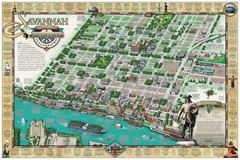
Savannah Historic District Illustrated Map
This Americana-style illustrated map depicts the Savannah Historic District from a birds-eye-view...
526 miles away
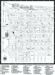
Savannah Historic District map
Map of Savannah, Georgia's historic district. Shows popular places
527 miles away

Negril tourist map (updated April 2008)
527 miles away
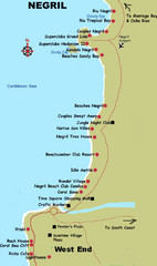
Negril Coastal Map
Coastal map of this Jamaican town.
527 miles away
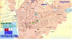
Santiago de Cuba Map
Street tourist map of city
528 miles away

Mississippi & Alabama coastal area, 1732 Map
528 miles away
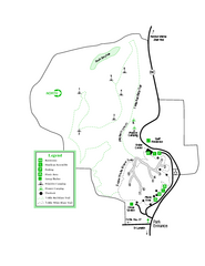
Providence Canyon State Park Map
Map of park with detail of trails and recreation zones
529 miles away
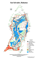
San Salvador map
Tourist map of San Salvador in the Bahamas.
530 miles away
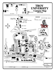
Troy University Map
Campus map of Troy University Troy campus. All areas shown.
531 miles away
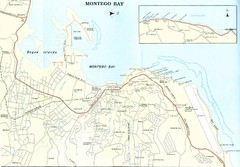
Montego Bay road Map
531 miles away
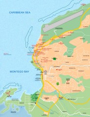
Tourist map of Montego Bay
Tourist map of Montego Bay in Jamaica.
532 miles away
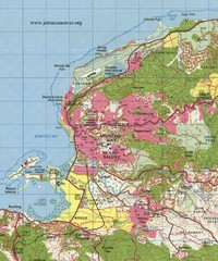
Montego bay topo Map
532 miles away
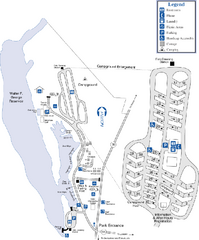
Florence Marina State Park Map
Map of park with detail of trails and recreation zones
533 miles away

"Holguin - Moa" Road Map
535 miles away
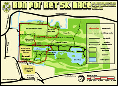
Hilton Head Run for Ret 5K Race Course Map
Hilton Head Island Run for Ret 5K Race Course, Aug 30, 2008.
535 miles away
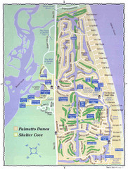
Palmetto Dunes Map
537 miles away
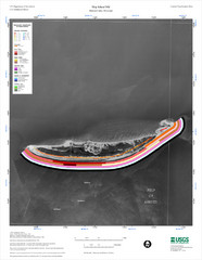
Ship Island Map
537 miles away
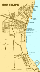
San Felipe, Mexico Beach Tourist Map
538 miles away
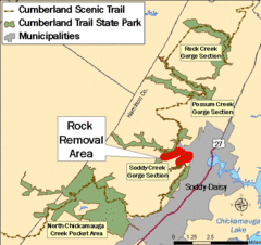
Cumberland Trail, Alabama Map
540 miles away
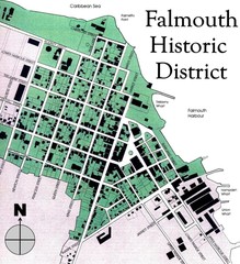
Falmouth Historic District Map
541 miles away
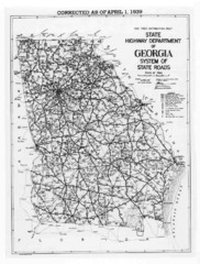
Georgia 1939 Road Map
State Road Map of Georgia in 1939
541 miles away
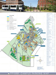
Georgia Southern University Map
Campus Map
543 miles away

Bathymetric Chart of Mississippi Gulfshore...
543 miles away
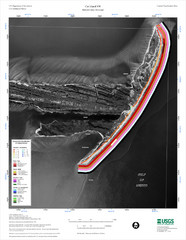
Cat Island Map
Cat Island NW Coastal Classification
544 miles away
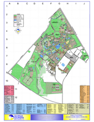
Georgia Southern University Map
Georgia Southern University Campus Map. All buildings shown.
545 miles away
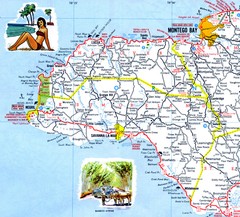
Western Jamaica road Map
547 miles away
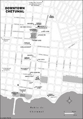
Downtown Chetumal Map
549 miles away
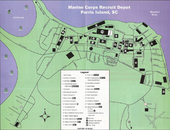
Parris Island Marine Corps Recruit Depot Map
Map of the Parris Island Marine Corps Recruit Depot near Beaufort, South Carolina. Shows...
550 miles away
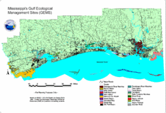
Mississippi Gulf Ecological Management Sites Map
GEMS area map
550 miles away
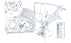
George L. Smith State Park Map
Map of park with detail of trails and recreation zones
550 miles away

Santiago de Cuba Map
551 miles away
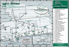
Gulfport Recreational Facilities Map
Shows parks and other recreational points of interest in Gulfport, Mississippi.
552 miles away
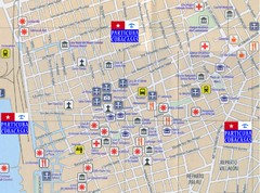
Santiago de Cuba Port and Center Map
Street tourist map of port and town center
553 miles away
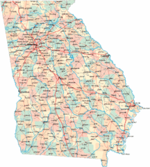
Georgia Road Map
Detailed, colorful road map of the state of Georgia.
554 miles away

