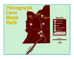
Pictograph Cave State Park Map
The 2,730-square-foot building, on the northwestern side of the existing parking lot, is designed...
178 miles away

Wolf Mountain Ski Trail Map
Trail map from Wolf Mountain.
179 miles away
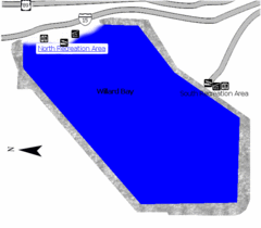
Willard Bay State Park Map
Boat, swim, waterski, and fish on the warm waters of Willard Bay. Camp under tall cottonwood trees...
180 miles away
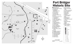
Fort Bridger State Historic Site Map
Established by Jim Bridger and Louis Vasquez in 1843 as an emigrant supply stop along the Oregon...
180 miles away
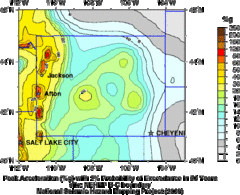
Seismic Hazard Map of Wyoming
Seismic Hazard map of probable earthquake activity for Wyoming.
180 miles away
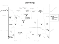
Wyoming Airports Map
180 miles away
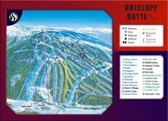
Antelope Butte Ski Area Ski Trail Map
Trail map from Antelope Butte Ski Area.
180 miles away
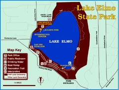
Lake Elmo State Park Map
This urban day-use park attracts visitors to swim, sailboard, and fish. A display in the Fish...
182 miles away
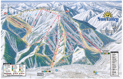
Sun Valley Ski Area Trail Map
Official ski trail map of Bald Mountain, the main mountain of Sun Valley ski area in Sun Valley...
182 miles away
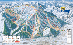
Sun Valley Ski Trail Map 2008
Ski trail map of Sun Valley ski area
182 miles away
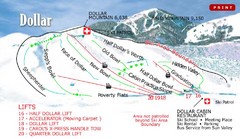
Sun Valley—Bald Mountain Ski Trail Map
Trail map from Sun Valley—Bald Mountain, which provides downhill, nordic, and terrain park skiing...
183 miles away
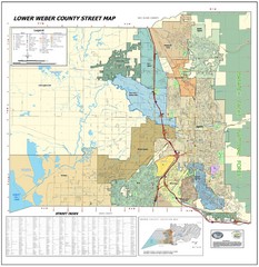
Lower Weber County Street Map
Street map for area around Ogden, UT
184 miles away

Snowbasin Nordic Trail Map
Nordic trail map of Snowbasin resort, Utah
185 miles away
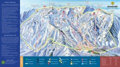
Snowbasin Ski Trail Map
Official ski trail map of ski area from the 2007-2008 season.
186 miles away
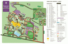
Weber State University Map
Weber State University Campus Map. All buildings shown.
186 miles away
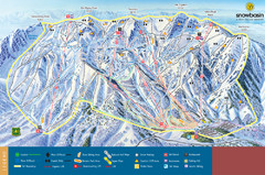
Snowbasin Mountain Trail Map
Ski trail map of Snowbasin Mountain
190 miles away
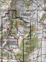
City of Rocks Topo Map
This topo map does not do justice to City of Rocks which is a wonderful reserve that is managed by...
190 miles away
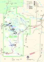
City of Rocks Park Map
This is the official Map for the reserve
190 miles away
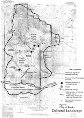
Sites of Cultural Importance, City of Rocks Area...
190 miles away
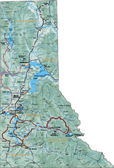
Northern Idaho Road Map
193 miles away
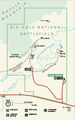
Big Hole National Battlefield Official Map
Official NPS map of Big Hole National Battlefield in Montana. Big Hole National Battlefield is...
194 miles away
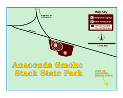
Anaconda Smoke Stack State Park Map
Simple map of State Park.
195 miles away
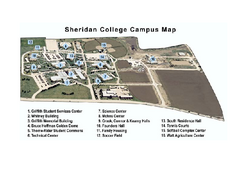
Sheridan College Campus Map
Sheridan College Campus Map. Shows all buildings.
199 miles away
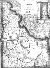
Idaho 1883 Map
200 miles away
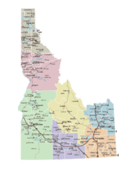
Idaho Road Map
200 miles away
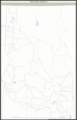
Idaho Zip Code Map
Check out this Zip code map and every other state and county zip code map zipcodeguy.com.
200 miles away
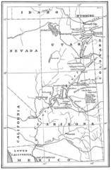
1914 Grand Canyon & Colorado River Map
Historic map of the Colorado River, from Wyoming to Mexico
201 miles away
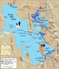
Great Salt Lake Map
202 miles away
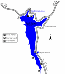
East Canyon State Park Map
East Canyon State Park is a 680-acre boating and year-round fishing delight nestled in the...
203 miles away
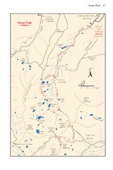
Kings Peak Trail Map
Trail map of route to Kings Peak, highest mountain in Utah at 13,528 ft. Route is around 30 miles...
203 miles away
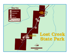
Lost Creek State Park Map
These spectacular gray limestone cliffs and pink and white granite formations rise 1,200 feet above...
203 miles away
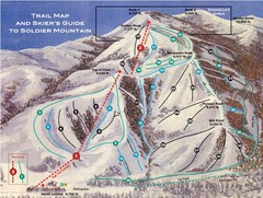
Soldier Mountain Ski Trail Map
Trail map from Soldier Mountain, which provides downhill and terrain park skiing. It has 3 lifts...
204 miles away
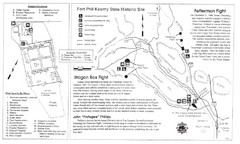
Fort Phil Kearny State Historic Site Map
Fort Phil Kearny State Historic Site is a National Historic Landmark located between Sheridan and...
205 miles away

Little Big Horn Battlefield National Monument Map
Official NPS map of the Little Big Horn Battlefield National Monument. This area memorializes...
205 miles away
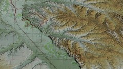
Custer Battlefield Oblique Map
205 miles away

Helena, Montana City Map
206 miles away
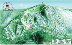
Lost Powder Mountain Ski Trail Map
Trail map from Lost Trail Powder Mountain.
207 miles away
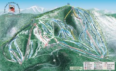
Lost Trail Powder Mountain Ski Trail Map
Official ski trail map of Lost Trail Powder Mountain ski area
207 miles away
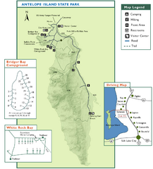
Antelope Island State Park Map
Trail map of Antelope Island State Park in the Great Salt Lake, Utah. Shows campgrounds.
207 miles away


