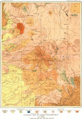
Lassen Peak District Geological Map
Geologic map of the Lassen Peak area in Lassen National Park, California. Shows sedimentary rock...
200 miles away
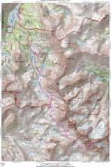
North Palisade South Lake Route Topo Map
Topo map of route from South Lake to North Palisade, 14,242 ft.
200 miles away
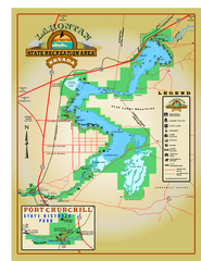
Lahontan State Recreation Area Map
Overview map of Lahontan State Recreation Area. Shows Lahontan Reservoir formed by Lahontan Dam...
200 miles away
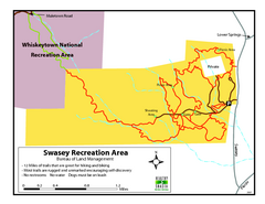
Swasey Recreation Area Map
12 Miles of trails that are great for hiking and biking. Most trails are rugged and unmarked...
203 miles away
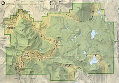
Lassen Volcanic National Park Map
203 miles away
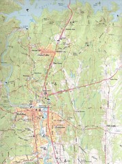
Redding, California City Map
203 miles away
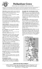
Richardson Grove State Park Campground Map
Map of campground region of park with detail of trails and recreation zones
205 miles away
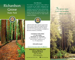
Richardson Grove State Park Map
Map of park with detail of trails and recreation zones
205 miles away
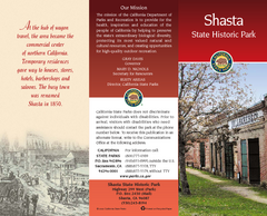
Shasta State Historic Park Map
Map of park with detail of trails and recreation zones
206 miles away
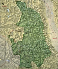
King Canyon and Seqouia Nationa Parks Map
206 miles away
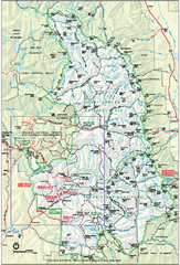
Sequoia National Park map and Kings Canyon...
Official park map of Sequoia National Park and Kings Canyon National Park.
207 miles away
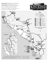
King Range National Conservation Area Trail Map
Trail map of the King Range National Conservation Area, home of the Lost Coast, California. Shows...
208 miles away
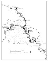
Humboldt Redwoods State Park Map
Park map of Humboldt Redwoods State Park, California. Shows Avenue of the Giants, trailheads and...
208 miles away
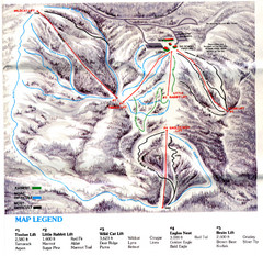
Iron Mountain Trail Map
Iron Mountain ski area
211 miles away
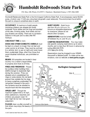
Humboldt Redwoods State Park Campground Map
Map of campground region park with detail of trails and recreation zones
211 miles away
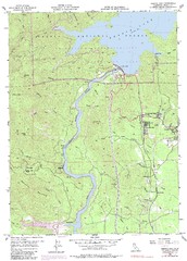
Shasta Dam Quad - Shasta Lake Map
Topographic map, Shasta Dam Quadrangle, California 1969. Area of map includes a portion of Shasta...
214 miles away
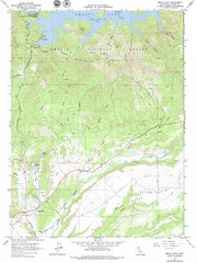
Bella Vista Quad - Shasta Lake Map
Topographic map, Bella Vista Quadrangle, California 1976. Area of map includes a portion of Shasta...
214 miles away
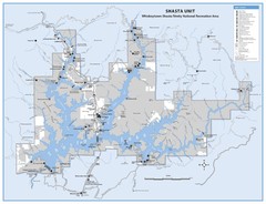
Shasta Unit - Whiskeytown-Shasta-Trinity National...
Map of Shasta Lake, California, showing roads, campgrounds, marinas and resorts, hiking and biking...
216 miles away
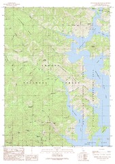
Bohemotash Mountain Quad - Shasta Lake Map
Topographic map, Bohemotash Mountain Quadrangle, California 1990. Area of map includes a portion of...
216 miles away
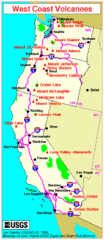
Major West Coast Volcanoes (Washington, Oregon...
217 miles away

Weaverville Joss House State Historic Park Map
Map of park with detail of trails and recreation zones
218 miles away
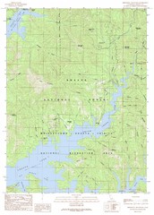
Minnesota Mountain Quad - Shasta Lake Map
Topographic map, Minnesota Mountain Quadrangle, California 1990. Area of map includes a portion of...
219 miles away

California Agricultural Region Map
219 miles away
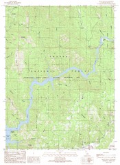
Devils Rock Quad - Shasta Lake Map
Topographic map, Devils Rock Quadrangle, California 1990. Area of map includes a portion of Shasta...
219 miles away
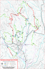
Weaverville Basin Trail System Map
Guide to trails near Weaverville, CA
219 miles away
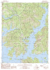
O'Brien Quad - Shasta Lake Map
Topographic map, O'Brien Quadrangle, California 1990. Area of map includes a portion of Shasta...
219 miles away
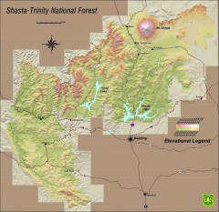
Shasta Trinity National Forest Elevation Map
Shaded relief map of Shasta-Trinity National Forest in northern California
222 miles away
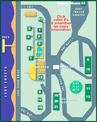
Tsasdi Resort - Shasta Lake Map
Map of the grounds of Tsasdi Resort, lakehead, CA.
224 miles away
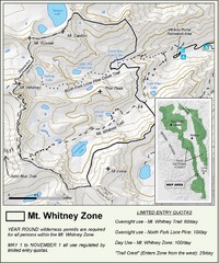
Mt. Whitney Zone Map
Zone map of Mt. Whitney area. Shows trail from Whitney Portal and Zone requiring Limited Use...
224 miles away
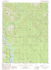
Bollibokka Mountain Quad - Shasta Lake Map
Topographic map, Bollibokka Mountain Quadrangle, California 1990. Area of map includes a portion of...
225 miles away
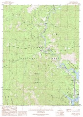
Lamoine Quad - Shasta Lake Map
Topographic map, Lamoine Quadrangle, California 1990. Area of map includes a portion of Shasta Lake...
227 miles away
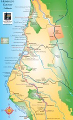
Humboldt County, California Map
Tourist map of Humboldt County, California. Shows parks, wildlife refuges, visitor centers, and...
227 miles away

California Aquaduct Map in Kern County
The California Aqueduct is the principal water conveyance structure for the California State Water...
229 miles away
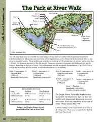
The Park at Riverwalk, Bakersfield California Map
Map of The Park at Riverwalk in Bakersfield California, including the fees for reservable areas.
229 miles away

Bakersfield Commons Site Features Map
229 miles away

Buena Vista Lakes Map
Buena Vista Aquatic Recreation Area is located off of Taft Highway, 23 miles southwest of...
229 miles away

Bakersfield Commons Conceptual Site Plan Map
229 miles away

Bakersfield Commons Phase 1 Alt Map
229 miles away

Bakersfield Commons Existing and Proposed Zoning...
229 miles away
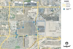
Bakersfield Commons Noise Monitoring Map
229 miles away

