Bakersfield College Campus Map
Bakersfield College Campus Map. All buildings shown.
less than 1 mile away
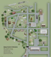
Kern County Museum Map
3 miles away
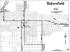
Bakersfield California, 1917 Map
4 miles away

Kern County California Map
4 miles away

Kern County District Supervisor Areas Map
Last Modified 12/13/2005
4 miles away
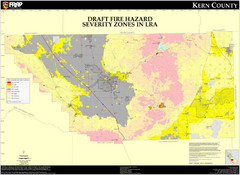
Fire Hazard Severity Zones, Kern County...
Fire Hazard Severity Zones, Kern County California: Local Responsibility Area
4 miles away

Fire Hazard Severity Zones, Kern County...
Fire Hazard Severity Zones, Kern County California: State Responsibility Area
4 miles away

Census Places and Cities in Kern County...
4 miles away

Kern County, 1916 Map
Kern County, 1916 Map, from California Mineral Production for 1919 (with County Maps), Bulletin No...
4 miles away

Kern County Boat Ramps Locator Map
The numbered locations can be found at http://www.boatrampslocator.com/california-kern-county-boat...
4 miles away
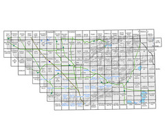
Awareness Floodplain Maps, Kern County Map
The maps labeled in blue have completed Awareness Floodplain Maps. The maps labeled in black are...
4 miles away

Kern County Map
4 miles away
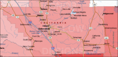
Bakersfield's Location in Kern County Map
4 miles away
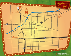
Bakersfield Overview Map
Shows major streets and highways in Bakersfield, CA
4 miles away
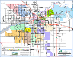
Bakersfield Police Beats Map
4 miles away

Bakersfield California 1889 Map
Map of Bakersfield, CA, showing the first subdivision of lands belonging to J. B. Haggin, 1889
4 miles away

Bakersfield E Zone map
City of Bakersfield Economic & Community Development supports economic diversity, civic growth...
4 miles away
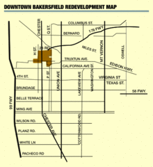
Downtown Bakersfield Redevelopment Area Map
The Downtown Redevelopment Area was established in 1972 and expanded in 1974, 1976, and 1979. It...
4 miles away

Orange Grove RV Park, Bakersfield California Map
4 miles away

Bakersfield City Limits Map
4 miles away
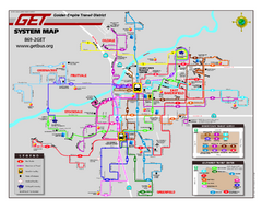
Bakersfield California Bus System Map (G.E.T. Bus)
Entire system map of all routes Golden Empire Transit offers in the City of Bakersfield, California.
4 miles away
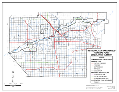
Metropolitan Bakersfield General Plan &ndash...
This map depicts the Circulation Element of the Metropolitan Bakersfield General Plan. This is a...
4 miles away
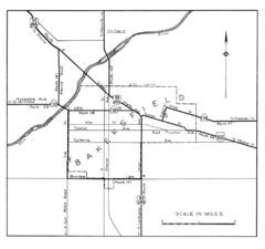
Bakersfield, 1944 Map
Official California State Division of Highways Map
4 miles away
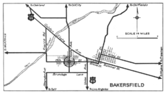
Bakersfield, 1934 Map
Official California State Division of Highways Map
4 miles away
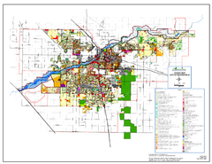
City of Bakersfield Zoning Map
This map depicts zoning for the City of Bakersfield. This map is not the official zoning map for...
4 miles away
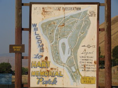
Hart Memorial Park Map
4 miles away
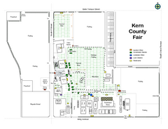
Kern County Fair Map
5 miles away
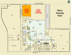
Bakersfield's Auto Swap Meet Map
5 miles away

Lake Ming Area Map
Lake Ming is located 10 miles northeast of Bakersfield, off of Hwy. 178 along Alfred Harrell Hwy...
6 miles away

Lower Kern River Map
This portion of the Kern River extends from the Lower Richbar picnic area to Hart Park. Although...
7 miles away

Bakersfield Commons Conceptual Site Plan Map
7 miles away

Bakersfield Commons Phase 1 Alt Map
7 miles away

Bakersfield Commons Existing and Proposed Zoning...
7 miles away
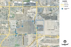
Bakersfield Commons Noise Monitoring Map
7 miles away

Bakersfield Commons Site Existing Conditions Map
7 miles away

Bakersfield Commons Proposed Retention Areas Map
7 miles away

Bakersfield Commons Site Features Map
8 miles away

Town & Country Village Shopping Center in...
8 miles away
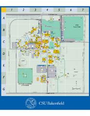
California State University Bakersfield Map
Campus map of California State University Bakersfield.
8 miles away
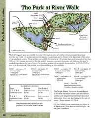
The Park at Riverwalk, Bakersfield California Map
Map of The Park at Riverwalk in Bakersfield California, including the fees for reservable areas.
10 miles away

