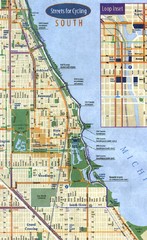
Chicago Bike Map
223 miles away
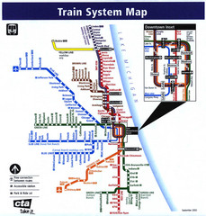
Chicago Train System Map
223 miles away
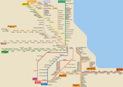
Chicago Public Transportation Map
223 miles away
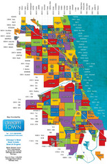
Chicago Neighborhoods Map
Map of Chicago identifying the different neighborhoods in the city
223 miles away

Niagara Falls Map
Photographic Map of Niagara Falls - tourist / visitor information.
223 miles away
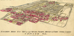
Chicago Meatpacking District and Stockyards (1890...
Charles Rascher's illustration of the Chicago meatpacking district in 1890.
224 miles away
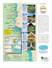
Niagara Garden Trail Map
Tourist map of attractions along the Garden Trail along the Canadian side of the St. Lawrence River...
224 miles away
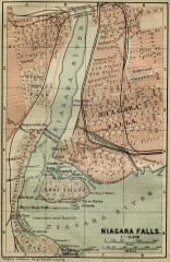
Antique map of Niagara Falls from 1894
"Niagara Falls" from Baedeker, Karl. The Dominion of Canada with Newfoundland and an...
224 miles away

Manitoulin Island Map
The largest Island on a lake
224 miles away

North Branch Bicycle Trail Map
224 miles away
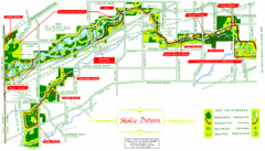
Skokie Division Map
Map of Skokie Division forests and trails, Cook County, IL
225 miles away
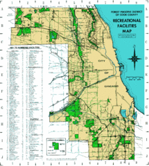
Cook County Recreation Map
Map of forest preserve recreational facilities in Cook County, Illinois.
225 miles away
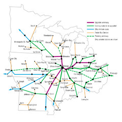
Midwest Direct Route Map
The most direct routes in the Midwest United States
225 miles away
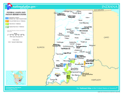
Indiana - Federal Lands and Indian Reservations...
The National Atlas of the United States of America, U.S. Geological Survey, 2003
226 miles away
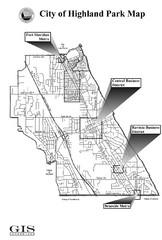
Highland Park City Map
City Map of Highland Park, Illinois
226 miles away

Indiana Road Map
226 miles away
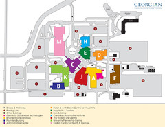
Georgian College Map
226 miles away
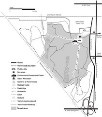
Havenwoods State Forest Map
Hiking trails and bus stops marked on this map.
226 miles away

Chapman State Park map
Detailed map of Chapman State Park in Pennsylvania
226 miles away
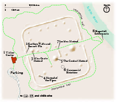
Hopewell Culture National Historical Park...
Official NPS map of Hopewell Culture National Historical Park in Ohio. Map shows all areas. he...
226 miles away

North Branch Trail Map
Picnic Areas and Trail Map
226 miles away
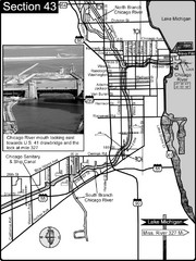
Chicago, IL Sanitary & Ship Canal/Chicago...
This is the beginning of the Illinois Waterway that connects Lake Michigan to the Mississippi River...
226 miles away

Tar Hollow State Park map
Detailed recreation map for tar Hollow State Park in Ohio
227 miles away
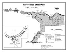
Wilderness State Park, Michigan Site Map
227 miles away
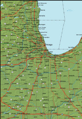
Detailed Indiana Area Road Map
228 miles away

Thorn Creek Trail Map
228 miles away
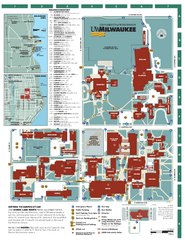
University of Wisconsin - Milwaukee Map
Campus Map of the University of Wisconsin - Milwaukee. All area's shown.
228 miles away
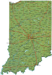
Detailed Indiana Road Map
228 miles away
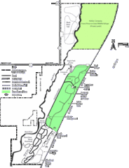
Kohler-Andrae State Park Map
trail, walk, water, nature, tourism, vacation, fun, adventure, journey,
228 miles away
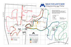
Mountain View Nordic Ski Trail Map
Trail map from Mountain View, which provides downhill and nordic skiing. This ski area has its own...
228 miles away

Milwaukee Urban Water Trail Map
228 miles away
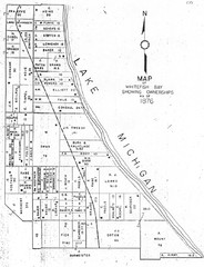
Whitefish Bay - 1876 Map
Whitefish Bay, Wisconsin - 1876 Ownership map
229 miles away
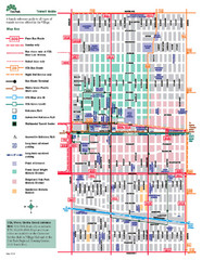
Oak Park Transit Map
Transit Guide to Oak Park, Illinois
229 miles away
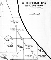
Whitefish Bay Original Land Grants 1835 Map
Whitefish Bay Original Land Grants 1835
229 miles away

Georgina Historic Lakeshore Communities Map
229 miles away
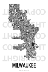
Urban Neighborhood Map: Milwaukee Map
This Urban Neighborhood Poster of Milwaukee is a modern twist on traditional maps - perfect to...
229 miles away
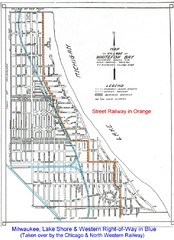
Whitefish Bay - 1926 Map
Whitefish Bay - 1926
229 miles away
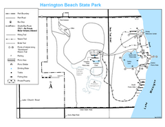
Harrington Beach State Park Map
Trails around Harington Beach State Park.
229 miles away
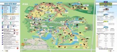
Toronto Zoo Map
Official map of the Toronto Zoo
229 miles away
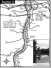
Ohio River at Wheeling, WV and 10 miles downriver...
This is a page from the Ohio River Guidebook. The map shows important information for boaters and...
229 miles away

