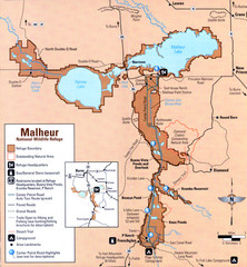
Malheur National Wildlife Refuge Map
Detailed Map of the Malheur Wildlife Refuge in Oregon showing places of interest, roads and...
269 miles away
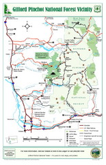
Gifford Pinchot National Forest Vicinity Map
Gifford Pinchot National Forest and surrounding areas including Mt. St Helens.
271 miles away
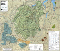
Capitol State Forest Map
Shows all trails in Capitol State Forest and surrounding area, including Lower Chehalis State...
272 miles away
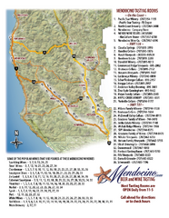
Mendocino Beer and Wine Tasting Map
Beer and wine tasting map of Mendocino county, California. Show breweries and wineries on the...
273 miles away
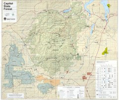
Capitol State Forest Map
273 miles away
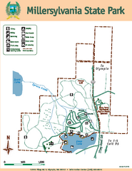
Millersylvania State Park Map
Map of park with detail of trails and recreation zones
273 miles away
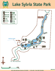
Lake Sylvia State Park Map
Map of island with detail of trails and recreation zones
274 miles away
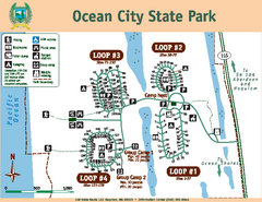
Ocean City State Park Map
Map of park with detail of trails and recreation zones
275 miles away
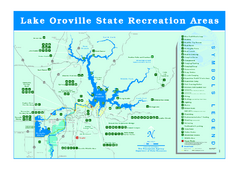
Lake Oroville State Recreation Area Map
Recreation overview map of Lake Oroville State Recreation Area near Oroville, California. Show all...
276 miles away
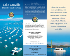
Lake Oroville State Recreation Area Map
Map of recreation area with detail of trails and recreation zones
277 miles away
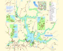
Lake Oroville State Recreation Area Map
Map of recreation area with detail of trails and recreation zones
277 miles away
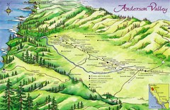
Anderson Valley Wine Map
Shows wineries/vineyards in Anderson Valley, California along Route 128 from Navarro, California to...
278 miles away
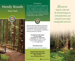
Hendy Woods State Park Map
Map of park with detail of trails and recreation zones
278 miles away
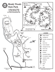
Hendy Woods State Park Map
Park map of Hendy Woods State Park in Philo, California. Shows trails, campgrounds, and other...
278 miles away
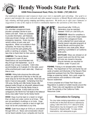
Hendy Woods State Park Campground Map
Map of campground region park with detail of trails and recreation zones
278 miles away

Philo Wine Map
Shows wineries great for wine tasting in the Anderson Valley along Route 128 in Philo California.
279 miles away
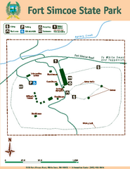
Fort Simcoe State Park Map
Map of park with detail of trails and recreation zones
279 miles away
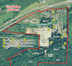
Grays Harbor County Straddleline ORV Park...
Park Map near Olympia
281 miles away
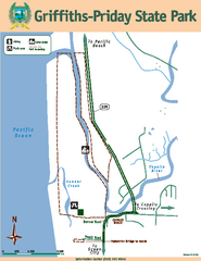
Griffiths-Priday State Park Map
Griffiths-Priday State Park
281 miles away
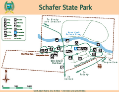
Schafer State Park Map
Map of park with detail of trails and recreation zones
281 miles away
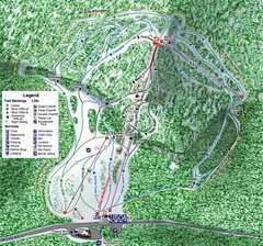
White Pass Ski Area Ski Trail Map
Trail map from White Pass Ski Area, which provides downhill, nordic, and terrain park skiing. It...
282 miles away
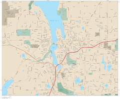
Olympia, Washington City Map
282 miles away

Olympia Map
Map of downtown Olympia's parking and shuttle routes.
282 miles away
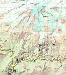
Pinnacle Saddle Trail Map
283 miles away
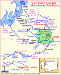
Mount Rainier Major Stream Drainages Map
283 miles away
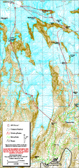
Mount Rainier Paradise Climbing Route map
Map shows all hiking and climbing routes originating from Paradise at 5,400 ft.
284 miles away

Steens Mountain Topo Map
Topography map of the east side of Steens mountain in Oregon.
284 miles away
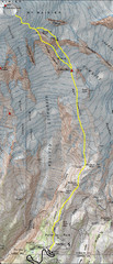
Mount Rainier Climbing Map
Guide to climbing Mount Rainier, Camp Muir Route
285 miles away

Pierce County Washington Map, 1909 Map
285 miles away
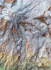
Mt. Rainier Climbing Routes Map
Shows major climbing routes on Mt. Rainier on southwest part of mountain.
286 miles away
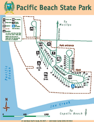
Pacific Beach State Park Map
Map of park with detail of trails and recreation zones
287 miles away

Mt. Rainier 3D Print Map
This is a 3D-printed map of the cone of Mt. Rainier in Washington, USA, including Liberty Cap, many...
287 miles away
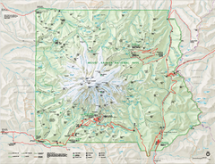
Mount Rainier National Park map
Official NPS map of Mt. Rainier National Park. Shows the entire park and surroundings
288 miles away
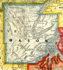
Mason County Washington, 1909 Map
288 miles away
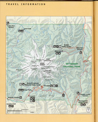
Mount Rainier National Park Map
Guide to the Mount Rainier National Park
288 miles away
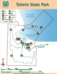
Tolmie State Park Map
Map of park with detail of trails and recreation zones
288 miles away
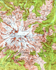
Mount Rainier Topographic Map
Guide to topography and glaciers of Mount Rainier
289 miles away
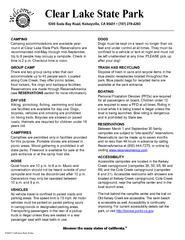
Clear Lake State Park Campground Map
Map of park with detail of trails and recreation zones
289 miles away
Clear Lake State Park Map
Map of park with detail of trails and recreation zones
289 miles away
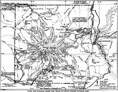
1928 Mount Rainier National Park Map
Guide to Mount Rainier National Park in 1938
289 miles away

