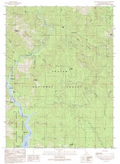
Bollibokka Mountain Quad - Shasta Lake Map
Topographic map, Bollibokka Mountain Quadrangle, California 1990. Area of map includes a portion of...
179 miles away
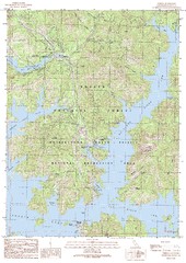
O'Brien Quad - Shasta Lake Map
Topographic map, O'Brien Quadrangle, California 1990. Area of map includes a portion of Shasta...
182 miles away
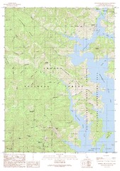
Bohemotash Mountain Quad - Shasta Lake Map
Topographic map, Bohemotash Mountain Quadrangle, California 1990. Area of map includes a portion of...
183 miles away

Happy Valley Oregon Road Map
183 miles away
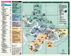
Oregon Zoo Map 2009
183 miles away
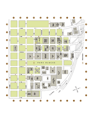
Portland State University Map
Campus Map of Portland State University. All buildings shown.
184 miles away
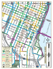
South Downtown Portland Bike Map
Biking map of southern downtown Portland, Oregon. Shows bike paths, bike parking, and bike shops.
185 miles away
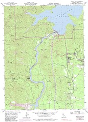
Shasta Dam Quad - Shasta Lake Map
Topographic map, Shasta Dam Quadrangle, California 1969. Area of map includes a portion of Shasta...
185 miles away
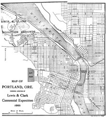
Portland, Oregon Map
Map of Portland, Oregon during centennial exposition of the Lewis & Clark Exploration...
185 miles away
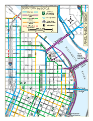
North Downtown Portland Bike Parking Map
Biking map of northern downtown Portland, Oregon. Shows bike paths, parking, and stores.
185 miles away
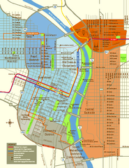
Central Portland, Oregon Map
Tourist map of Portland, Oregon. Shows museums, sports arenas, parks, and public transportation.
185 miles away
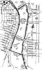
Portland Oregon downtown walk Map
Walk from the Amtrak Station to the Oregon Museum of Science and Industry. 4 miles round trip...
185 miles away
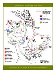
Portland Japanese Garden Map
So Far My favorite Japanese Garden
185 miles away
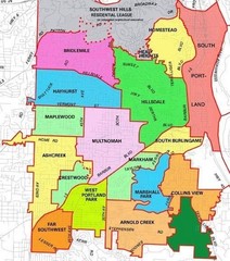
Portland, Oregon Neighborhood Map
185 miles away
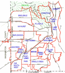
Portland, Oregon Neighborhood Map
185 miles away
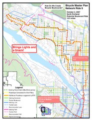
Portland, Oregon Bike Map
185 miles away
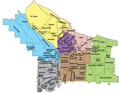
Portland, Oregon Neighborhood Map
185 miles away
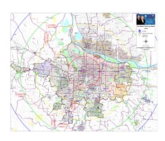
Portland, Oregon Tourist Map
185 miles away
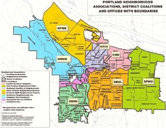
Portland Neighborhood Map
Shows neighborhood associations of Portland, Oregon.
185 miles away
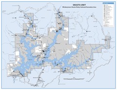
Shasta Unit - Whiskeytown-Shasta-Trinity National...
Map of Shasta Lake, California, showing roads, campgrounds, marinas and resorts, hiking and biking...
185 miles away
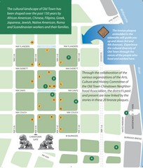
Old Town-China Town Map
Portland's oldest neighborhoods and history are easily seen in Old Town-China Town.
185 miles away
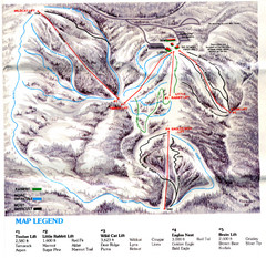
Iron Mountain Trail Map
Iron Mountain ski area
185 miles away
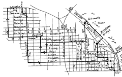
Pearl District Walking Map, Portland Oregon Map
Walk through the Pearl District, along the Willamette River and up to 23rd Street. Detour to the...
185 miles away
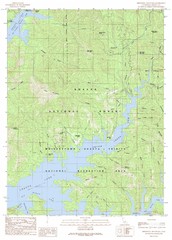
Minnesota Mountain Quad - Shasta Lake Map
Topographic map, Minnesota Mountain Quadrangle, California 1990. Area of map includes a portion of...
186 miles away
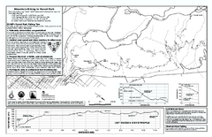
Forest Park Mountain Biking Map
Forest Park now includes over 5,100 wooded acres making it the largest, forested natural area...
186 miles away
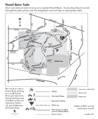
Powell Butte Nature Park Trail Map
Trail map of Powell Butte Nature Park. Shows over 9 miles of trails
186 miles away
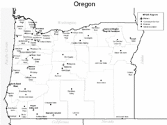
Oregon Airport Map
187 miles away
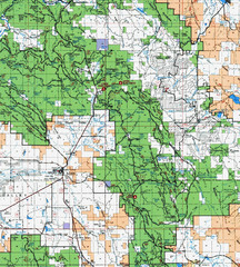
Clip10 Map
Visitor Maps of Modoc National Park, eastern part of the park includes all roads, camping areas...
187 miles away
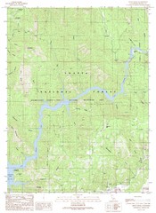
Devils Rock Quad - Shasta Lake Map
Topographic map, Devils Rock Quadrangle, California 1990. Area of map includes a portion of Shasta...
188 miles away
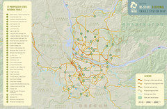
Bi-State Regional Trail System Plan Map
Shows plan for developing 37 Bi-State Regional Trails
188 miles away
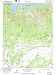
Bella Vista Quad - Shasta Lake Map
Topographic map, Bella Vista Quadrangle, California 1976. Area of map includes a portion of Shasta...
188 miles away

Maywood Park Oregon Road Map
189 miles away
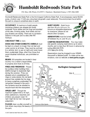
Humboldt Redwoods State Park Campground Map
Map of campground region park with detail of trails and recreation zones
190 miles away
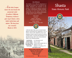
Shasta State Historic Park Map
Map of park with detail of trails and recreation zones
190 miles away
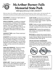
McArthur-Burney Falls Memorial State Park...
Map of park with detail of trails and recreation zones
191 miles away
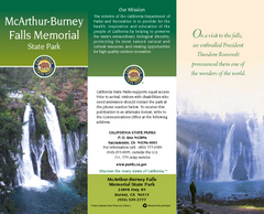
McArthur-Burney Falls Memorial State Park Map
Map of park with detail of trails and recreation zones
191 miles away
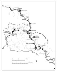
Humboldt Redwoods State Park Map
Park map of Humboldt Redwoods State Park, California. Shows Avenue of the Giants, trailheads and...
191 miles away
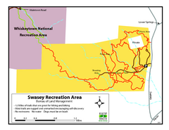
Swasey Recreation Area Map
12 Miles of trails that are great for hiking and biking. Most trails are rugged and unmarked...
193 miles away


