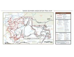
Tahoe Donner Ski Trail Map
Official ski trail map of Tahoe Donner Association. Shows both downhill and cross-country ski...
328 miles away
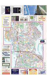
Bellevue tourist map
Tourist map of Bellevue, Washington. Shows all businesses.
328 miles away

Tourist map of Downtown Bellevue
Tourist map of Downtown Bellevue, Washington. Shows all businesses.
328 miles away
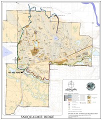
Snoqualmie Trail Map
Shows both soft surface and paved trails for biking, running/hiking/wailking, and horseback riding
329 miles away
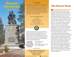
Donner Memorial State Park Map
Map of park with detail of trails and recreation zones
329 miles away
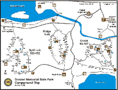
Donner Memorial State Park Campground Map
Map of park with detail of trails and recreation zones
329 miles away
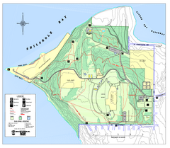
Discovery Park trail map
Trail and facility map of Discovery Park. Discovery Park is a 534 acre natural area park operated...
329 miles away
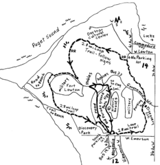
Discovery Park Walking Map Seattle Map
You can walk the Historic Parade Grounds in Fort Lawton (1.5 miles) and/or the 2.8 mile Trail Loop...
329 miles away
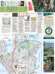
Greater Madison tourist map
Tourist map of Greater Madison, Washington. Shows all businesses.
329 miles away
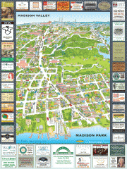
Madison Park tourist map
Tourist map of Madison Park, Washington. Shows all businesses.
329 miles away

Washington Park Arboretum Trail Map
Trail map of Washington Park Arboretum in Seattle.
329 miles away

City of Kennewick Map
Simple road map of Kennewick.
329 miles away

3-D Panoramic Map of the Puget Sound
A 3D panoramic map of a view from a private residence over Puget Sound toward the Olympic mountains.
329 miles away
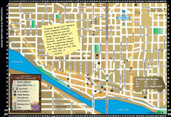
Fremont Walking Tour Map
Walking tour map of Fremont Washington in city of Seattle. Center of the known universe. Shows...
329 miles away
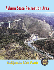
Auburn State Recreation Area Map
Map of park with detail of of trails and recreation zones
329 miles away
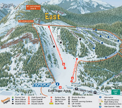
The Summit at Snoqualmie Summit East Ski Trail Map
Trail map from The Summit at Snoqualmie, which provides night and terrain park skiing. It has 30...
329 miles away
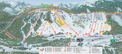
The Summit at Snoqualmie Summit Central Ski Trail...
Trail map from The Summit at Snoqualmie, which provides night and terrain park skiing. It has 30...
329 miles away
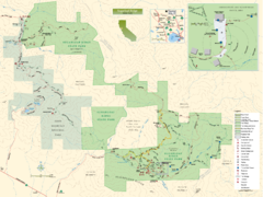
Sugarloaf Ridge State Park Map
Trail map of Sugarloaf Ridge State Park
330 miles away
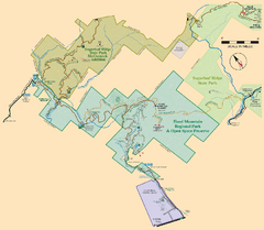
Hood Mountain Regional Park Map and Sugarloaf...
Park map of Hood Mountain Regional Park and Open Space Preserve and Sugarloaf Ridge State Park in...
330 miles away

Sammamish tourist map
Sammamish, Washington tourist map. Shows all businesses.
330 miles away
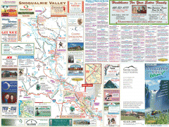
Snoqualmie Valley tourist map
Tourist map of the Snoqualmie Valley, Washington. Shows all businesses.
330 miles away
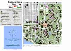
University of Washington map
330 miles away
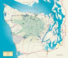
Olympic National Park and Peninsula Map
Guide to the Olympic National Park and surrounding region
330 miles away
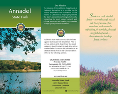
Annadel State Park Map
Map of park with detail of trails and recreation zones
330 miles away

Sebastopol Map
Map of Sebastopol and surrounding towns.
330 miles away
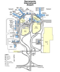
Sacramento International Airport Map
330 miles away
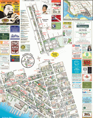
Ballard tourist map
Tourist map of Ballard, Washington. Shows all businesses.
330 miles away
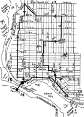
Ballard, Seattle walking map
Start/finish at the Crittendon Locks in Ballard, Seattle. The total map is 6.4 miles, but has...
331 miles away
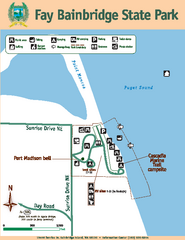
Fay Bainbridge State Park Map
Map of park with detail of trails and recreation zones
331 miles away
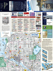
Ballard tourist map
Tourist map of Ballard, Washington and Green Lake Park. Shows all businesses.
331 miles away
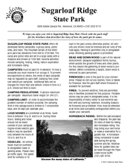
Sugarloaf Ridge State Park Campground Map
Map of park with detail of trails and recreation zones
331 miles away
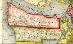
Clallam and Jefferson Counties Washington, 1909...
331 miles away
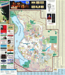
Sammamish tourist map
Tourist map of Sammamish, Washington. Shows all businesses.
331 miles away
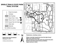
Bridle Trails State Park Map
332 miles away
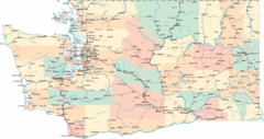
Washington Road Map
Road map of state of Washington
332 miles away
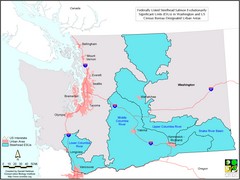
Washington Steelhead Salmon Map
Shows federally listed steelhead salmon evolutionarily significant units in Washington state.
332 miles away
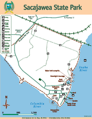
Sacajawea State Park Map
Map of park with detail of trails and recreation zones
332 miles away

Reno Tahoe Tourist Map
332 miles away

Reno, Nevada City Map
332 miles away
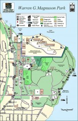
Warren G. Magnuson Park Map
Map of Warren G. Magnuson Park Warren G. Magnuson Park sits on a splendid mile-long stretch of...
332 miles away

