Could not geocode “Vietnam”: no answer to geocode request.
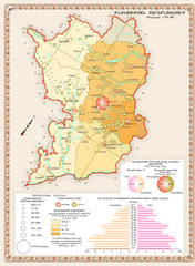
Karabakh Map
Population Distribution in the Nagorno-Karabakh Republic (Artsakh)
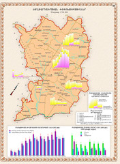
Karabakh Map
Demographic Development of the Nagorno-Karabakh Republic (Artsakh)

Eastern Armenia Map
Ethnic Migrations in Eastern Armenia in XIX-XX centures AD

Eastern Armenia Map
Ethnic Migrations in the Eastern Armenia in XVII-XVIII centures AD
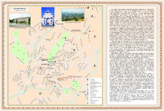
Stepanakert City Map
Map of Stepanakert, Nagorno-Karabakh Republic (Artsakh)
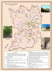
Karabakh Map
Natural Monuments of the Nagorno-Karabakh Republic (Artsakh)
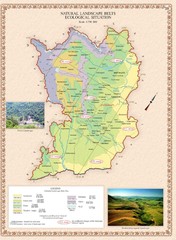
Karabakh Map
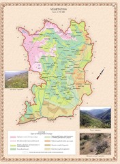
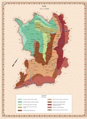
Natural Landscape Zones and Ecological Situation in the Nagorno-Karabakh Republic (Artsakh)
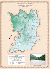
Karabakh Map
Spring Overflow of Rivers and Turbidity of the Rivers in the Nagorno-Karabakh Republic (Artsakh)
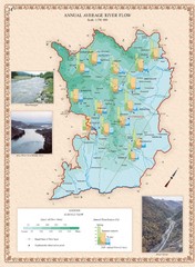
Karabakh Map
Annual Average River Flow in the Nagorno-Karabakh Republic (Artsakh)
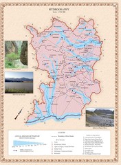
Karabakh Map
Hydrography Map of the Nagorno-Karabakh Republic (Artsakh)
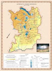
Karabakh Map
Alternative Energy Resources of the Nagorno-Karabakh Republic (Artsakh)

Karabakh Map
Evaporation & Atmospheric Precipitation in the Nagorno-Karabakh Republic (Artsakh)

Karabakh Map
Average Air Temperature in the Nagorno-Karabakh Republic (Artsakh)
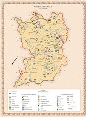
Karabakh Map
Useful Minerals of the Nagorno-Karabakh Republic (Artsakh)
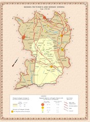
Karabakh Map
Seismo-Tectonics & Seismic Zoning Map of the Nagorno-Karabakh Republic (Artsakh)
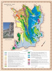
Karabakh Map
Geological Map of the Nagorno-Karabakh Republic (Artsakh)
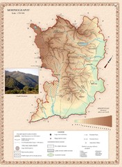
Karabakh Map
Morphography of the Nagorno-Karabakh Republic (Artsakh)
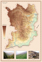
Karabakh Map
Physical Map of the Nagorno-Karabakh Republic (Artsakh)
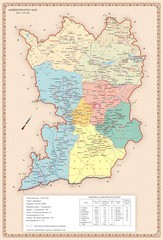
Karabakh Map
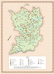
Administrative Map of the Nagorno-Karabakh Republic (Artsakh)
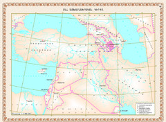
Karabakh Map
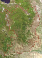
Geographic Location of the Nagorno-Karabakh Republic (Artsakh)
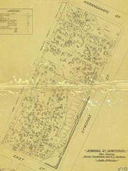
Symonds Street Cemetery - Jewish, Prebyterian and...
The Old Symonds Street Cemetery. This is the Jewish, Presbyterian and Catholic section.
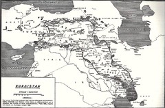
Kurdistan map
Kurdistan: is the Kurdish people home lan. Its area is about 500ooo squaire kilometer,of the Middle...
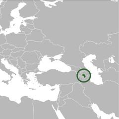
Nagorno-Karabakh Republic on the Map
The Nagorno-Karabakh Republic on the Regional Map
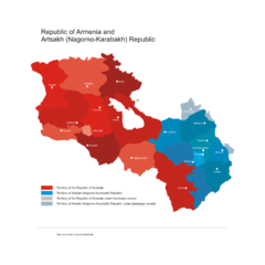
Armenia & Karabakh Vector Map
Map of the Republic of Armenia and the Nagorno-Karabakh Republic (Artsakh)
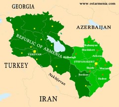
Nagorny Karabakh & Armenia Map
Map of the Nagorno-Karabakh Republic (Artsakh) and the Republic of Armenia
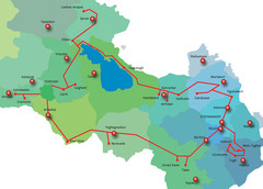
Armenia & Karabakh "Gold Circle" Map
Map of Tourist Attractions in Armenia & Nagorny Karabakh

Armenia Map
Map of the Republic of Armenia and the Nagorno Karabakh Republic (Artsakh)

Stepanakert Town Map
Town Plan of Stepanakert - capital of the Nagorno-Karabakh Republic (Artsakh)
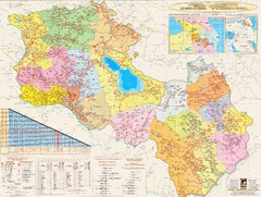
Armenia & Karabakh Road Map
Road-Map of the Republic of Armenia and the Nagorno-Karabakh Republic (Artsakh) in English and...
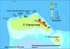
Kapoposang Map
Kapoposang National Marine Park may not be as well-known as other celebrated diving resorts, like...
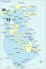
Taka Bonerate Map
The Bonerate National Park is home to the third biggest atoll in the world after Kwajifein in the...

